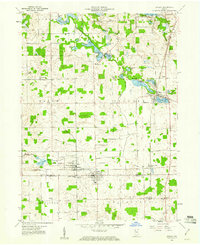
1959 Map of Ashley
USGS Topo · Published 1961About this map
The town of Ashley straddles the boundary between Steuben and DeKalb counties, serving as a focal point for this landscape of glacial lakes and agricultural drainages in the late 1950s. The New York Central railroad runs north-south through the village, intersecting with the local infrastructure of the Wabash Pipeline and several prominent drainage projects like the Hudson Ditch and Johnson Ditch. This era shows a well-established network of small settlements and community landmarks, including Hudson and Steubenville, which are connected by a grid of county roads.
Find a feature on this map
46 named features on this map. Tap any name to fly to it.
Don’t see what you’re looking for? This feature index may not catch every label — zoom into the map to look around manually.
Map Details
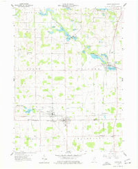
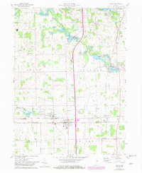
Editions of this 1959 Ashley Map
3 editions found
Other maps of this area

1939 · Hamilton
USGS Topo · 1:24,000

1939 · Angola East
USGS Topo · 1:24,000

1940 · Orland
USGS Topo · 1:24,000

1941 · Orland
USGS Topo · 1:24,000

1941 · Angola West
USGS Topo · 1:24,000

1942 · Ashley
USGS Topo · 1:24,000

1942 · Angola West
USGS Topo · 1:24,000

1942 · Stroh
USGS Topo · 1:24,000

1947 · Angola East
USGS Topo · 1:24,000

1948 · Hamilton
USGS Topo · 1:24,000