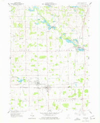
1959 Map of Ashley
USGS Topo · Published 1977About this map
The town of Ashley straddles the border of Steuben and DeKalb counties in this 1950s survey, serving as a hub for both the Wabash RR and the New York Central rail lines. The landscape is defined by its numerous glacial water bodies, including Long Lake, Bower Lake, and Little Turkey Lake, many of which are connected by drainage systems like the Smathers Conrad Ditch. This era shows a community rooted in small-town agriculture and transit, anchored by rural landmarks such as West Trinity Ch and St Johns Ch.
Find a feature on this map
50 named features on this map. Tap any name to fly to it.
Don’t see what you’re looking for? This feature index may not catch every label — zoom into the map to look around manually.
Map Details
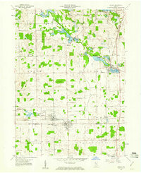
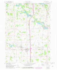
Editions of this 1959 Ashley Map
3 editions found
Other maps of this area

1939 · Hamilton
USGS Topo · 1:24,000

1939 · Angola East
USGS Topo · 1:24,000

1940 · Orland
USGS Topo · 1:24,000

1941 · Orland
USGS Topo · 1:24,000

1941 · Angola West
USGS Topo · 1:24,000

1942 · Ashley
USGS Topo · 1:24,000

1942 · Angola West
USGS Topo · 1:24,000

1942 · Stroh
USGS Topo · 1:24,000

1947 · Angola East
USGS Topo · 1:24,000

1948 · Hamilton
USGS Topo · 1:24,000