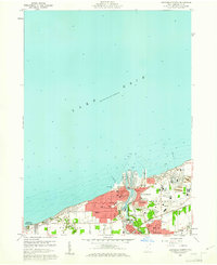
1960 Map of Ashtabula North
USGS Topo · Published 1961About this map
The industrial and maritime activity of Ashtabula centers on the mouth of the Ashtabula River in this 1960 survey. The lakefront landscape is defined by the extensive infrastructure of the Ashtabula Harbor, where the New York Central and N Y C railroads converge to manage Great Lakes commerce. Residential expansion is evident in the surrounding neighborhoods of East Ashtabula, Edgewood, and Saybrook On-the-Lake, showing a community deeply integrated with its shoreline economy.
Find a feature on this map
44 named features on this map. Tap any name to fly to it.
Don’t see what you’re looking for? This feature index may not catch every label — zoom into the map to look around manually.
Map Details
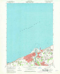
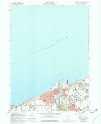
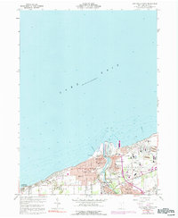
Editions of this 1960 Ashtabula North Map
4 editions found
Other maps of this area

1905 · Ashtabula
USGS Topo · 1:62,500

1906 · Conneaut
USGS Topo · 1:62,500

1950 · Cleveland
USGS Topo · 1:250,000

1950 · Erie
USGS Topo · 1:250,000

1956 · Cleveland
USGS Topo · 1:250,000

1959 · Erie
USGS Topo · 1:250,000
1960 · North Kingsville
USGS Topo · 1:24,000
1960 · Gageville
USGS Topo · 1:24,000

1960 · Ashtabula South
USGS Topo · 1:24,000
1960 · Geneva
USGS Topo · 1:24,000