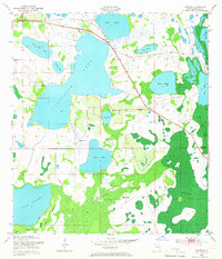
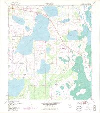
1953 Map of Ashton
USGS Topo · Published 1965About this map
Ashton sits at the northern edge of this hydrologically complex landscape, where a chain of lakes dominates the Osceola County interior. The massive expanse of Lake Alligator and Lake Gentry define the western half of the map, while smaller bodies like Sardine Lake and Live Oak Lake are pocketed among marshy lowlands. This mid-century survey reveals a territory defined by its water levels, with a Gaging Station positioned south of Lake Alligator to monitor the flow towards Brick Lake.
Find a feature on this map
21 named features on this map. Tap any name to fly to it.
Don’t see what you’re looking for? This feature index may not catch every label — zoom into the map to look around manually.
Map Details
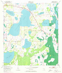
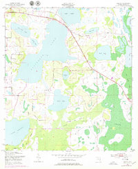
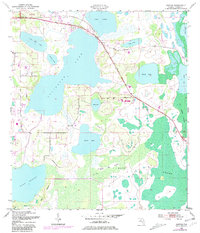
Editions of this 1953 Ashton Map
6 editions found
Other maps of this area

1953 · Cypress Lake
USGS Topo · 1:24,000

1953 · Holopaw SE
USGS Topo · 1:24,000

1953 · Narcoossee SE
USGS Topo · 1:24,000

1953 · St Cloud North
USGS Topo · 1:24,000

1953 · Narcoossee
USGS Topo · 1:24,000

1953 · St Cloud South
USGS Topo · 1:24,000

1953 · Holopaw SW
USGS Topo · 1:24,000

1953 · Ashton
USGS Topo · 1:24,000

1953 · Holopaw
USGS Topo · 1:24,000

1955 · Orlando
USGS Topo · 1:250,000