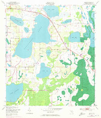
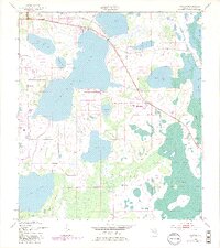
1953 Map of Ashton
USGS Topo · Published 1972About this map
Ashton sits at the northwestern edge of a landscape defined by an extensive system of interconnected water bodies and marshlands in central Florida. This environment is anchored by Alligator Lake, Lake Gentry, and Lake Lizzie, which are linked through a complex drainage pattern including Canoe Creek. The map documents a period of early development, noting a Trailer Park and a Gaging Station amidst the sprawling lowlands. The terrain is characterized by numerous named islands such as Scrub Island, Sweet Bay Island, and Berl Island that rise above the surrounding wetlands. This 1953 survey, which incorporates 1970 photorevisions, illustrates the transition of the region from a purely rural swamp environment, including the Jug Creek Swamp and Big Bend Swamp, toward a landscape increasingly influenced by human infrastructure and settlement patterns.
Find a feature on this map
21 named features on this map. Tap any name to fly to it.
Don’t see what you’re looking for? This feature index may not catch every label — zoom into the map to look around manually.
Map Details
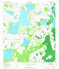
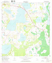
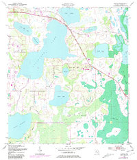
Editions of this 1953 Ashton Map
6 editions found
Other maps of this area

1953 · Cypress Lake
USGS Topo · 1:24,000

1953 · Holopaw SE
USGS Topo · 1:24,000

1953 · Narcoossee SE
USGS Topo · 1:24,000

1953 · St Cloud North
USGS Topo · 1:24,000

1953 · Narcoossee
USGS Topo · 1:24,000

1953 · St Cloud South
USGS Topo · 1:24,000

1953 · Holopaw SW
USGS Topo · 1:24,000

1953 · Ashton
USGS Topo · 1:24,000

1953 · Holopaw
USGS Topo · 1:24,000

1955 · Orlando
USGS Topo · 1:250,000