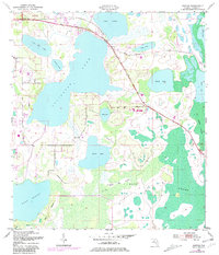
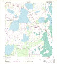
1953 Map of Ashton
USGS Topo · Published 1981About this map
Ashton and the surrounding freshwater wetlands of Osceola County are documented here in a 1953 survey, updated with 1981 purple-ink revisions. This landscape is defined by an expansive chain of water bodies, including Lake Lizzie, Alligator Lake, and Lake Gentry. The settlement at Ashton serves as the primary hub along the northwestern corner, while small developments like a Trailer Park appear near the shores of Lake Lizzie.
Find a feature on this map
24 named features on this map. Tap any name to fly to it.
Don’t see what you’re looking for? This feature index may not catch every label — zoom into the map to look around manually.
Map Details
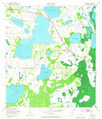
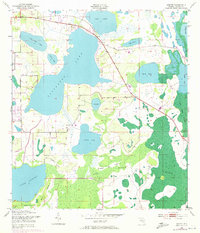
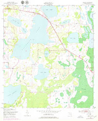
Editions of this 1953 Ashton Map
6 editions found
Other maps of this area

1953 · Cypress Lake
USGS Topo · 1:24,000

1953 · Holopaw SE
USGS Topo · 1:24,000

1953 · Narcoossee SE
USGS Topo · 1:24,000

1953 · St Cloud North
USGS Topo · 1:24,000

1953 · Narcoossee
USGS Topo · 1:24,000

1953 · St Cloud South
USGS Topo · 1:24,000

1953 · Holopaw SW
USGS Topo · 1:24,000

1953 · Ashton
USGS Topo · 1:24,000

1953 · Holopaw
USGS Topo · 1:24,000

1955 · Orlando
USGS Topo · 1:250,000