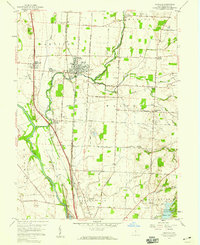
1958 Map of Ashville
USGS Topo · Published 1959About this map
The village of Ashville stands as a primary hub of Pickaway County agriculture and transit in the late 1950s, centered at the crossing of the Norfolk and Western and Chesapeake and Ohio railroads. The landscape is defined by the winding course of the Scioto River to the west and the intricate drainage of Walnut Creek and Little Walnut Creek. This period reveals a community deeply rooted in its local institutions, from the Township Schs in Ashville to rural landmarks like Hedges Chapel and St Paul Ch.
Find a feature on this map
51 named features on this map. Tap any name to fly to it.
Don’t see what you’re looking for? This feature index may not catch every label — zoom into the map to look around manually.
Map Details
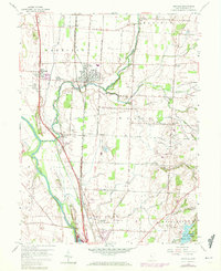
Editions of this 1958 Ashville Map
2 editions found
Other maps of this area

1911 · Era
USGS Topo · 1:62,500

1913 · Era
USGS Topo · 1:62,500

1914 · Circleville
USGS Topo · 1:62,500

1923 · West Columbus
USGS Topo · 1:62,500

1925 · East Columbus
USGS Topo · 1:62,500

1925 · West Columbus
USGS Topo · 1:62,500

1943 · Era
USGS Topo · 1:62,500

1943 · Circleville
USGS Topo · 1:62,500

1943 · East Columbus
USGS Topo · 1:62,500

1947 · Columbus
USGS Topo · 1:250,000