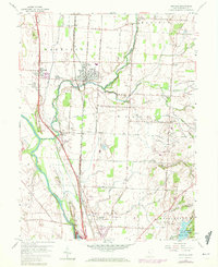
1958 Map of Ashville
USGS Topo · Published 1972About this map
The Scioto River valley defines the western edge of this territory, where a complex network of roads and rail lines converged to support central Ohio's agricultural and industrial base during the mid-20th century. Parallel rail corridors, including the Chesapeake and Ohio Railroad and the Norfolk and Western Railroad, cut north-to-south through Ashville and past the small settlement of Little Chicago. These lines facilitated the movement of goods through a landscape shaped by glacial drainage, evidenced by the winding path of Walnut Creek and the seasonally shifting waters of Dry Run.
Find a feature on this map
57 named features on this map. Tap any name to fly to it.
Don’t see what you’re looking for? This feature index may not catch every label — zoom into the map to look around manually.
Map Details
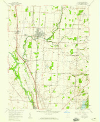
Editions of this 1958 Ashville Map
2 editions found
Other maps of this area

1911 · Era
USGS Topo · 1:62,500

1913 · Era
USGS Topo · 1:62,500

1914 · Circleville
USGS Topo · 1:62,500

1923 · West Columbus
USGS Topo · 1:62,500

1925 · East Columbus
USGS Topo · 1:62,500

1925 · West Columbus
USGS Topo · 1:62,500

1943 · Era
USGS Topo · 1:62,500

1943 · Circleville
USGS Topo · 1:62,500

1943 · East Columbus
USGS Topo · 1:62,500

1947 · Columbus
USGS Topo · 1:250,000