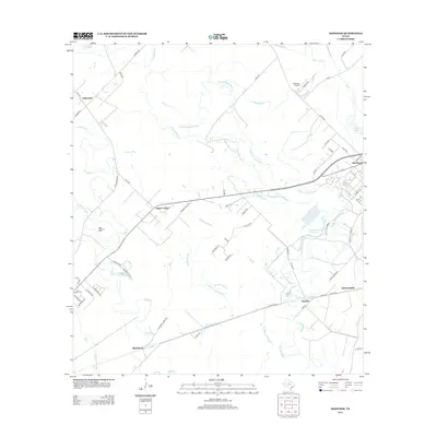
2013 Map of Ashwood
USGS Topo · Published 2013About this map
The low-lying coastal prairies of Matagorda County are defined by a complex drainage network including Caney Cr, Linnville Bayou, and Dance Bayou. This 2013 survey of the area surrounding Sugar Valley reveals a landscape shaped by both agriculture and industrial development. To the west, the Sugar Valley Oil Field indicates the subsurface energy economy that has long influenced this region. To the east, the Phillips 66 Company facility near Old Ocean marks a significant industrial footprint adjacent to the Linnville Creek Reservoir. Smaller settlements and historic sites are scattered throughout, such as Ashwood in the northwest, Allenhurst in the south, and the Free System Cem near Bouldin Lake. The map details numerous rural routes and ranch roads, including Simmons Ranch Rd and Allenhurst Ranch Rd, which connect these inland communities through the maze of sloughs like Wildcat Slough.
Find a feature on this map
62 named features on this map. Tap any name to fly to it.
Don’t see what you’re looking for? This feature index may not catch every label — zoom into the map to look around manually.
Map Details
Editions of this 2013 Ashwood Map
This is the sole edition of this map. No revisions or reprints were ever made.
Other maps of this area

1950 · Houston
USGS Topo · 1:250,000

1951 · Bay City
USGS Topo · 1:250,000

1952 · West Columbia
USGS Topo · 1:24,000

1952 · Sweeny
USGS Topo · 1:24,000

1952 · Danciger
USGS Topo · 1:24,000

1952 · Ashwood
USGS Topo · 1:24,000

1952 · Pledger
USGS Topo · 1:24,000

1952 · Bay City
USGS Topo · 1:24,000

1952 · Bay City NE
USGS Topo · 1:24,000

1952 · Van Vleck
USGS Topo · 1:24,000