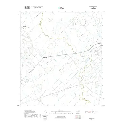
2019 Map of Ashwood
USGS Topo · Published 2019About this map
Sugar Valley and the surrounding coastal plains of Matagorda and Brazoria counties are defined by a complex network of slow-moving waterways and agricultural tracts. This landscape is dominated by the meandering paths of Linnville Bayou, Caney Creek, and numerous drainage features like Wildcat Slough and Grassy Slough. These watercourses dictate the placement of small rural settlements such as Ashwood and Allenhurst, which are connected by a grid of farm-to-market roads and county lanes.
Find a feature on this map
65 named features on this map. Tap any name to fly to it.
Don’t see what you’re looking for? This feature index may not catch every label — zoom into the map to look around manually.
Map Details
Editions of this 2019 Ashwood Map
This is the sole edition of this map. No revisions or reprints were ever made.
Other maps of this area

1950 · Houston
USGS Topo · 1:250,000

1951 · Bay City
USGS Topo · 1:250,000

1952 · West Columbia
USGS Topo · 1:24,000

1952 · Sweeny
USGS Topo · 1:24,000

1952 · Danciger
USGS Topo · 1:24,000

1952 · Ashwood
USGS Topo · 1:24,000

1952 · Pledger
USGS Topo · 1:24,000

1952 · Bay City
USGS Topo · 1:24,000

1952 · Bay City NE
USGS Topo · 1:24,000

1952 · Van Vleck
USGS Topo · 1:24,000