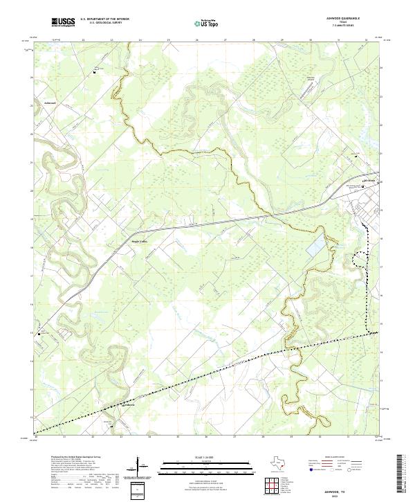
2022 Map of Ashwood
USGS Topo · Published 2022About this map
The Matagorda and Brazoria County line threads through a landscape defined by the winding paths of Linville Bayou and Caney Cr. This corner of the Texas coastal plain is marked by a legacy of plantation-era history and small agrarian settlements. Significant for genealogists and local historians, the map identifies several distinct burial grounds, including the John Sweeny Junior Plantation Cem and Union Baptist Cem, which offer physical links to the families who settled this drainage basin.
Find a feature on this map
70 named features on this map. Tap any name to fly to it.
Don’t see what you’re looking for? This feature index may not catch every label — zoom into the map to look around manually.
Map Details
Editions of this 2022 Ashwood Map
This is the sole edition of this map. No revisions or reprints were ever made.
Other maps of this area

1950 · Houston
USGS Topo · 1:250,000

1951 · Bay City
USGS Topo · 1:250,000

1952 · West Columbia
USGS Topo · 1:24,000

1952 · Sweeny
USGS Topo · 1:24,000

1952 · Danciger
USGS Topo · 1:24,000

1952 · Ashwood
USGS Topo · 1:24,000

1952 · Pledger
USGS Topo · 1:24,000

1952 · Bay City
USGS Topo · 1:24,000

1952 · Bay City NE
USGS Topo · 1:24,000

1952 · Van Vleck
USGS Topo · 1:24,000