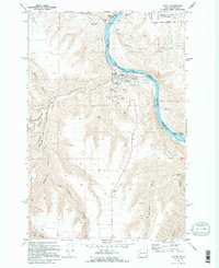
1971 Map of Asotin
USGS Topo · Published 1995About this map
The Snake River carves a deep path through this landscape, marking the rugged boundary between Washington and Idaho. Along its western bank, the town of Asotin serves as a focal point, featuring established civic infrastructure such as the County Fairgrounds, Chief Looking Glass Park, and a Sewage Disposal facility. The presence of Lower Granite Lake indicates the managed nature of the waterway during the early 1970s, with various Boat Ramps and a Pumping Sta supporting local river access and utility needs.
Find a feature on this map
42 named features on this map. Tap any name to fly to it.
Don’t see what you’re looking for? This feature index may not catch every label — zoom into the map to look around manually.
Map Details
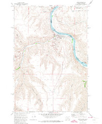
Editions of this 1971 Asotin Map
2 editions found
Other maps of this area

1944 · Anatone
USGS Topo · 1:62,500

1945 · Clarkston
USGS Topo · 1:62,500

1946 · Limekiln Rapids
USGS Topo · 1:62,500

1946 · Anatone
USGS Topo · 1:62,500

1948 · Clarkston
USGS Topo · 1:62,500

1955 · Pullman
USGS Topo · 1:250,000

1958 · Pullman
USGS Topo · 1:250,000

1958 · Lewiston Orchards North
USGS Topo · 1:24,000

1958 · Lewiston Orchards South
USGS Topo · 1:24,000

1958 · Lewiston Orchards
USGS Topo · 1:62,500