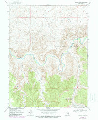
1968 Map of Asphalt Wash
USGS Topo · Published 1987About this map
The White River carves a winding path through the arid high country of Uintah County, Utah, defining the industrial and topographical character of this late-twentieth-century landscape. This survey reveals a region deeply tied to energy extraction, with the Southman Canyon Gas Field and Rock House Gas Field dominating the central and southern portions of the quadrangle. A network of primitive Jeep Trails and scattered Gas Wells and Drill Holes punctuate the terrain between deep drainage systems like Southman Canyon and Asphalt Wash. Cultural landmarks are sparse but significant, including the Rock House located near Atchees Wash and the Uslm 8 survey monument. The map also details numerous exploratory sites, from unnamed Prospects in the southeast to the rugged intersections of the West Fork and East Fork of the local draws.
Find a feature on this map
21 named features on this map. Tap any name to fly to it.
Don’t see what you’re looking for? This feature index may not catch every label — zoom into the map to look around manually.
Map Details
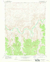
Editions of this 1968 Asphalt Wash Map
2 editions found
Other maps of this area

1885 · East Tavaputs
USGS Topo · 1:250,000

1885 · Ashley
USGS Topo · 1:250,000

1907 · Jensen
USGS Topo · 1:125,000

1910 · Jensen
USGS Topo · 1:125,000

1954 · Vernal
USGS Topo · 1:250,000

1956 · Grand Junction
USGS Topo · 1:250,000

1958 · Vernal
USGS Topo · 1:250,000

1959 · Grand Junction
USGS Topo · 1:250,000

1960 · Vernal
USGS Topo · 1:250,000

1960 · Grand Junction
USGS Topo · 1:250,000