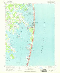
1967 Map of Assawoman Bay
USGS Topo · Published 1969About this map
Fenwick Island serves as a narrow coastal barrier between the Atlantic Ocean and the sprawling waters of Assawoman Bay and Little Assawoman Bay. This late-1960s survey documents the transition from undeveloped marshlands to modern coastal communities, featuring the established grids of Ocean City and the northward reach of Fenwick Island. The State Line bisects the barrier island, marking the boundary between Delaware and Maryland.
Find a feature on this map
86 named features on this map. Tap any name to fly to it.
Don’t see what you’re looking for? This feature index may not catch every label — zoom into the map to look around manually.
Map Details
Editions of this 1967 Assawoman Bay Map
4 editions found
Other maps of this area

1901 · Ocean City
USGS Topo · 1:62,500

1918 · Rehoboth
USGS Topo · 1:62,500

1938 · Rehoboth
USGS Topo · 1:62,500

1942 · Ocean City
USGS Topo · 1:62,500

1942 · Ocean City
USGS Topo · 1:24,000

1943 · Selbyville
USGS Topo · 1:31,680
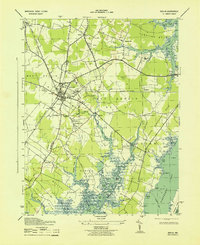
1943 · Berlin
USGS Topo · 1:31,680
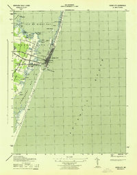
1943 · Ocean City
USGS Topo · 1:31,680
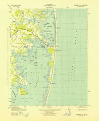
1943 · Assawoman Bay
USGS Topo · 1:31,680
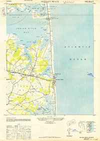
1943 · Bethany Beach
USGS Topo · 1:24,000