
1926 Map of Atchison
USGS Topo · Published 1926About this map
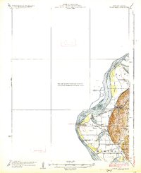
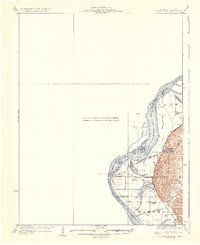
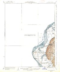
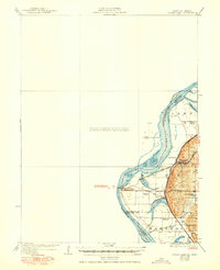
The Missouri River forms the central artery of this region, dividing the city of Atchison from the bottomlands of Missouri. This landscape is defined by the shifting waters of the river and the remnants of its former paths, evidenced by water bodies like Sugar Lake, Mud Lake, and Singleton Lake. These oxbows and marshy areas create a complex borderland between Atchison County, Kansas, and the neighboring Buchanan and Platte Counties in Missouri. The rail-and-road network is well-established, with the Chicago Burlington and Quincy railroad serving East Atchison Winthrop Sta and the Memorial Highway cutting through the river valley.
Find a feature on this map
23 named features on this map. Tap any name to fly to it.
Don’t see what you’re looking for? This feature index may not catch every label — zoom into the map to look around manually.
Map Details
Editions of this 1926 Atchison Map
5 editions found
Other maps of this area

1885 · Atchison
USGS Topo · 1:125,000

1886 · Oskaloosa
USGS Topo · 1:125,000

1888 · Oskaloosa
USGS Topo · 1:125,000

1888 · Atchison
USGS Topo · 1:125,000

1890 · Kansas City
USGS Topo · 1:125,000

1893 · Atchison
USGS Topo · 1:125,000

1894 · Kansas City
USGS Topo · 1:125,000

1894 · Oskaloosa
USGS Topo · 1:125,000

1910 · Leavenworth
USGS Topo · 1:62,500

1924 · St. Joseph
USGS Topo · 1:62,500