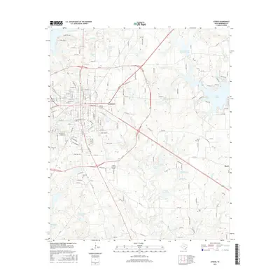
2016 Map of Athens
USGS Topo · Published 2016About this map
Athens serves as the primary hub of this East Texas landscape, where the convergence of State Highways and farm-to-market roads defines the local geography. The map reveals a transition from the urban grid of the city center to a decentralized periphery characterized by numerous private lakes and reservoirs, such as Kemp Lake and the expansive Lake Athens. These water bodies, along with smaller features like Moonshine Cr Lake No 1, suggest a landscape shaped by both agricultural needs and recreational development.
Find a feature on this map
170 named features on this map. Tap any name to fly to it.
Don’t see what you’re looking for? This feature index may not catch every label — zoom into the map to look around manually.
Map Details
Editions of this 2016 Athens Map
This is the sole edition of this map. No revisions or reprints were ever made.
Other maps of this area

1948 · Brownsboro
USGS Topo · 1:62,500

1948 · Martins Mill
USGS Topo · 1:62,500

1949 · Martins Mill
USGS Topo · 1:62,500

1949 · Brownsboro
USGS Topo · 1:62,500

1949 · Frankston
USGS Topo · 1:62,500

1949 · Athens
USGS Topo · 1:62,500

1950 · Athens
USGS Topo · 1:62,500

1950 · Frankston
USGS Topo · 1:62,500

1956 · Tyler
USGS Topo · 1:250,000

1984 · Tyler
USGS Topo · 1:250,000