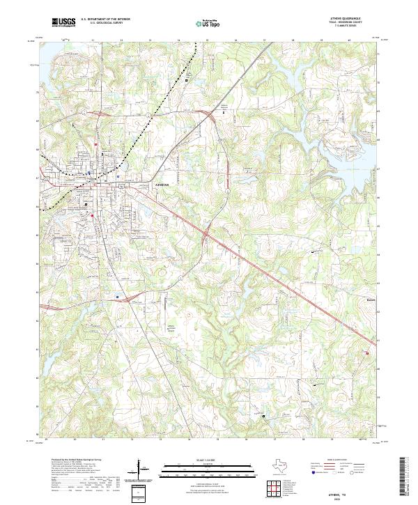
2022 Map of Athens
USGS Topo · Published 2022About this map
Athens serves as the focal point of this Henderson County survey, anchored by the County Courthouse and the Henderson County Judicial Complex. The urban landscape is defined by its educational and civic institutions, including the Trinity Valley Community College - Athens Campus and numerous historic burial grounds such as North Athens Cem and the central Athens Cem. The surrounding terrain transitions into a complex hydrographic network of small lakes and creek systems, most notably Lake Athens to the east and the smaller Chalmers Lake and Smith Lake nearer the city center.
Find a feature on this map
117 named features on this map. Tap any name to fly to it.
Don’t see what you’re looking for? This feature index may not catch every label — zoom into the map to look around manually.
Map Details
Editions of this 2022 Athens Map
This is the sole edition of this map. No revisions or reprints were ever made.
Other maps of this area
1948 · Brownsboro
USGS Topo · 1:62,500
1948 · Martins Mill
USGS Topo · 1:62,500
1949 · Martins Mill
USGS Topo · 1:62,500
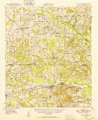
1949 · Brownsboro
USGS Topo · 1:62,500
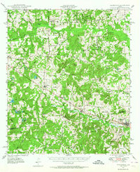
1949 · Frankston
USGS Topo · 1:62,500
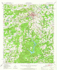
1949 · Athens
USGS Topo · 1:62,500
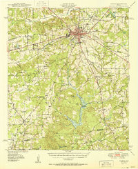
1950 · Athens
USGS Topo · 1:62,500
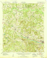
1950 · Frankston
USGS Topo · 1:62,500

1956 · Tyler
USGS Topo · 1:250,000
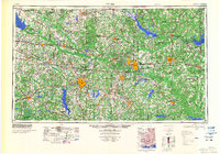
1984 · Tyler
USGS Topo · 1:250,000