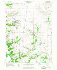
1966 Map of Athens
USGS Topo · Published 1967About this map
Athens serves as a primary hub for this mid-1960s Illinois landscape, situated at the junction of the Chicago and North Western and Chicago and Illinois Midland railroads. The map captures a transition in transportation and land use, showing the Barr Station and a local Landing Strip alongside established agricultural features. To the south, the Sangamon River meanders through the township of Salisbury, creating a complex of oxbows such as Halfmoon Lake and Horseshoe Lake. Genealogists will find particular value in the documentation of the Brittin Cem and Strode Cem, while the small clusters of Andrew and Cantrall mark the rural crossroads of the era. The detailed surveying even notes localized infrastructure like the Water Tank in Athens and a Radio Facility near Andrew, providing a complete view of the county line between Menard Co and Sangamon Co.
Find a feature on this map
26 named features on this map. Tap any name to fly to it.
Don’t see what you’re looking for? This feature index may not catch every label — zoom into the map to look around manually.
Map Details
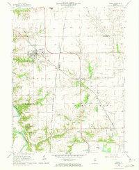
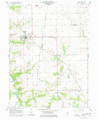
Editions of this 1966 Athens Map
3 editions found
Other maps of this area

1907 · Springfield
USGS Topo · 1:62,500

1909 · Tallula
USGS Topo · 1:62,500

1930 · Springfield
USGS Topo · 1:62,500

1933 · Petersburg
USGS Topo · 1:62,500

1938 · Petersburg
USGS Topo · 1:62,500

1940 · Tallula
USGS Topo · 1:62,500

1940 · Springfield
USGS Topo · 1:62,500

1948 · Mason City
USGS Topo · 1:62,500

1949 · Mason City
USGS Topo · 1:62,500

1950 · Springfield West
USGS Topo · 1:24,000