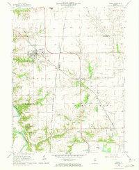
1966 Map of Athens
USGS Topo · Published 1973About this map
The Menard Co Sangamon Co border defines much of the human geography in this mid-1960s survey of central Illinois. At the heart of the sheet lies Athens, a well-established settlement characterized by its High Sch, a prominent water tank, and the crossing of the Chicago and North Western and Chicago and Illinois Midland railroads. This rail infrastructure links the town to outlying points like Barr and the village of Cantrall.
Find a feature on this map
28 named features on this map. Tap any name to fly to it.
Don’t see what you’re looking for? This feature index may not catch every label — zoom into the map to look around manually.
Map Details
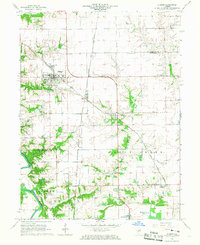
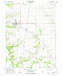
Editions of this 1966 Athens Map
3 editions found
Other maps of this area

1907 · Springfield
USGS Topo · 1:62,500

1909 · Tallula
USGS Topo · 1:62,500

1930 · Springfield
USGS Topo · 1:62,500

1933 · Petersburg
USGS Topo · 1:62,500

1938 · Petersburg
USGS Topo · 1:62,500

1940 · Tallula
USGS Topo · 1:62,500

1940 · Springfield
USGS Topo · 1:62,500

1948 · Mason City
USGS Topo · 1:62,500

1949 · Mason City
USGS Topo · 1:62,500

1950 · Springfield West
USGS Topo · 1:24,000