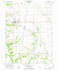
1966 Map of Athens
USGS Topo · Published 1978About this map
Athens serves as a primary hub of activity in this Menard County landscape, characterized by the crossing of the Chicago and North Western and Chicago and Illinois Midland railroads. These transit lines shaped the local economy, connecting smaller settlements like Barr and Cantrall to the wider region. Along the southwestern edge, the Sangamon River meanders through the township of Salisbury, where the terrain transitions from flat prairie fields to more broken ground near Cantrall Creek and Fancy Creek.
Find a feature on this map
28 named features on this map. Tap any name to fly to it.
Don’t see what you’re looking for? This feature index may not catch every label — zoom into the map to look around manually.
Map Details
Editions of this 1966 Athens Map
3 editions found
Other maps of this area

1907 · Springfield
USGS Topo · 1:62,500

1909 · Tallula
USGS Topo · 1:62,500

1930 · Springfield
USGS Topo · 1:62,500

1933 · Petersburg
USGS Topo · 1:62,500

1938 · Petersburg
USGS Topo · 1:62,500

1940 · Tallula
USGS Topo · 1:62,500

1940 · Springfield
USGS Topo · 1:62,500

1948 · Mason City
USGS Topo · 1:62,500

1949 · Mason City
USGS Topo · 1:62,500

1950 · Springfield West
USGS Topo · 1:24,000