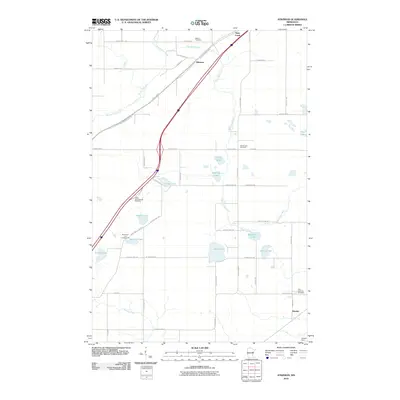
2010 Map of Atkinson
USGS Topo · Published 2010About this map
Atkinson and the surrounding Carlton County landscape are defined by a dense network of water bodies and rural transit corridors. The Blackhoof River and Moose Horn River wind through the terrain, punctuated by numerous glacial lakes such as Sandy Lake, Blackhoof Lake, and Munson Lake. This survey captures the region as a recreational and transit hub, featuring the Bent Trout Lake Campground and the Culkin North Bound Rest Area. Genealogists will find significant local history in the presence of Bethel Cemetery, Sandy Lake Cemetery, and Elim Lutheran Cemetery near the settlement of Duesler. The map also traces the Willard Munger Trl, reflecting the repurposing of old rail corridors for modern use, while the Hanson Dam in the southeast corner indicates water management along the local drainage basins.
Find a feature on this map
50 named features on this map. Tap any name to fly to it.
Don’t see what you’re looking for? This feature index may not catch every label — zoom into the map to look around manually.
Map Details
Editions of this 2010 Atkinson Map
This is the sole edition of this map. No revisions or reprints were ever made.
Other maps of this area

1949 · Holyoke
USGS Topo · 1:48,000

1953 · Duluth
USGS Topo · 1:250,000

1954 · Cloquet
USGS Topo · 1:24,000

1954 · Wrenshall
USGS Topo · 1:24,000

1954 · Atkinson
USGS Topo · 1:24,000

1954 · Iverson
USGS Topo · 1:24,000

1954 · Sawyer
USGS Topo · 1:24,000

1956 · Barnum
USGS Topo · 1:62,500

1958 · Duluth
USGS Topo · 1:250,000

1962 · Holyoke
USGS Topo · 1:62,500