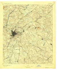
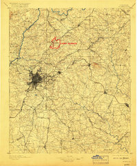
1895 Map of Atlanta
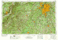
USGS Topo · Published 1926About this map
Chattahoochee River ferries and a dense rail network define the Atlanta region during the late nineteenth century. At this moment in Georgia history, the area is a vital transport hub, where the Southern Railway, Georgia Railroad, and Seaboard Air Line converge on the city. Beyond the urban core, the landscape is marked by landmarks such as Stone Mountain and military sites like Fort McPherson. Industrial and social markers appear throughout the map, including the Exposition site and the Soldiers Home. To the north and west, the river remains a critical barrier crossed by numerous family-named ferries, including Pace Ferry and Heard Ferry. The survey details a landscape of transition, from the granite quarries near Lithonia and Conyers to the milling operations at Oakley Mill and Wilson Mill.
Find a feature on this map
199 named features on this map. Tap any name to fly to it.
Don’t see what you’re looking for? This feature index may not catch every label — zoom into the map to look around manually.
Map Details
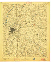
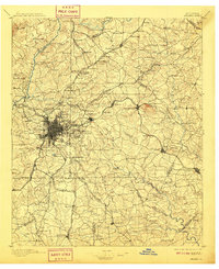
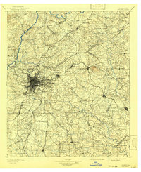
Editions of this 1895 Atlanta Map
7 editions found

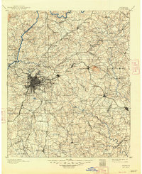
Historical Maps of Atlanta Through Time
8 maps found