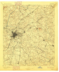
1895 Map of Atlanta
USGS Topo · Published 1909About this map
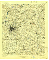
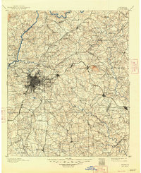
Atlanta is depicted at a critical juncture of urban growth and post-Reconstruction activity, centered on a dense rail network that includes the Southern R.R., the Georgia Railroad, and the Seaboard Air Line R.R.. Beyond the city's emerging urban core, the landscape is defined by the Chattahoochee River and its numerous crossings such as Veta Ferry and Pace Ferry. The map documents significant cultural landmarks including the Soldiers Home and the McPherson Monument, alongside institutional sites like Fort Mc.Pherson. Rural communities and mill sites like Oakley Mill and Howell Mills dot the surrounding counties, while the massive granite outcrop of Stone Mountain stands as a prominent geological feature to the east. This survey captures the transition from a river-and-mill economy to a major regional rail hub.
Find a feature on this map
179 named features on this map. Tap any name to fly to it.
Don’t see what you’re looking for? This feature index may not catch every label — zoom into the map to look around manually.
Map Details
Editions of this 1895 Atlanta Map
7 editions found
Other maps of this area

1888 · Atlanta
USGS Topo · 1:125,000

1890 · Suwanee
USGS Topo · 1:125,000

1890 · Cartersville
USGS Topo · 1:125,000

1890 · Atlanta
USGS Topo · 1:125,000

1891 · Marietta
USGS Topo · 1:125,000

1891 · Gainesville
USGS Topo · 1:125,000

1891 · Cartersville
USGS Topo · 1:125,000

1892 · Atlanta
USGS Topo · 1:125,000

1894 · Suwanee
USGS Topo · 1:125,000

1895 · Atlanta
USGS Topo · 1:125,000