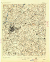
1895 Map of Atlanta
USGS Topo · Published 1948About this map
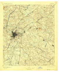
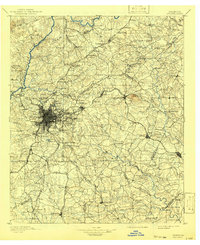
Atlanta radiates as a dense rail hub in this late 19th-century survey, surrounded by a landscape defined by the Chattahoochee River and the massive granite profile of Stone Mountain. The city’s strategic military and social importance is evident through the presence of Fort McPherson, the McPherson Monument, and the Soldiers Home. The surrounding countryside is dotted with family-run enterprises and early landmarks, such as Oakley Mill, Browning Store, and Jett Store, which served the rural communities of De Kalb and Fulton counties before the onset of suburbanization.
Find a feature on this map
194 named features on this map. Tap any name to fly to it.
Don’t see what you’re looking for? This feature index may not catch every label — zoom into the map to look around manually.
Map Details
Editions of this 1895 Atlanta Map
7 editions found
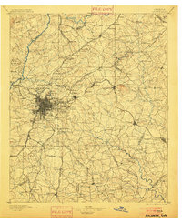
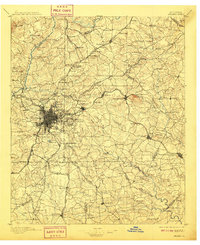
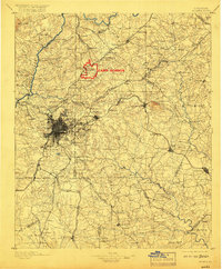
Other maps of this area

1888 · Atlanta
USGS Topo · 1:125,000

1890 · Suwanee
USGS Topo · 1:125,000

1890 · Cartersville
USGS Topo · 1:125,000

1890 · Atlanta
USGS Topo · 1:125,000

1891 · Marietta
USGS Topo · 1:125,000

1891 · Gainesville
USGS Topo · 1:125,000

1891 · Cartersville
USGS Topo · 1:125,000

1892 · Atlanta
USGS Topo · 1:125,000

1894 · Suwanee
USGS Topo · 1:125,000

1895 · Atlanta
USGS Topo · 1:125,000