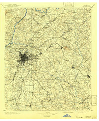
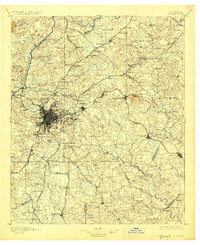
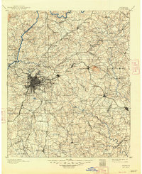
1895 Map of Atlanta
USGS Topo · Published 1941About this map
The Chattahoochee River defines the northwest boundary of this late 19th-century landscape, a region where a series of historic crossings like Pace Ferry, Powers Ferry, and Johnson Ferry connect the growing capital to its rural outskirts. The concentrated grid of the city center expands outward via a dense spiderweb of rail lines, including the Southern Railway and the Georgia Railroad, which intersect at strategic points like Belt Junc.
Find a feature on this map
189 named features on this map. Tap any name to fly to it.
Don’t see what you’re looking for? This feature index may not catch every label — zoom into the map to look around manually.
Map Details
Editions of this 1895 Atlanta Map
7 editions found
Other maps of this area

1888 · Atlanta
USGS Topo · 1:125,000

1890 · Suwanee
USGS Topo · 1:125,000

1890 · Cartersville
USGS Topo · 1:125,000

1890 · Atlanta
USGS Topo · 1:125,000

1891 · Marietta
USGS Topo · 1:125,000

1891 · Gainesville
USGS Topo · 1:125,000

1891 · Cartersville
USGS Topo · 1:125,000

1892 · Atlanta
USGS Topo · 1:125,000

1894 · Suwanee
USGS Topo · 1:125,000

1895 · Atlanta
USGS Topo · 1:125,000