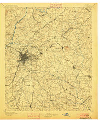
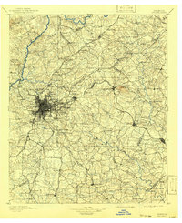
1895 Map of Atlanta
USGS Topo · Published 1900About this map
The dense rail hub of Atlanta radiates outward across the Piedmont during the late 19th century, anchored by the Southern R.R. and Georgia R.R. networks. This survey captures a pivotal era of post-war growth, showing the urban core’s expansion toward Buckhead and Decatur before the full onset of 20th-century suburbanization. Outside the central grid, the landscape is defined by institutional and recreational landmarks like the Soldiers Home, Fort Mc Pherson, and Grant Park.
Find a feature on this map
197 named features on this map. Tap any name to fly to it.
Don’t see what you’re looking for? This feature index may not catch every label — zoom into the map to look around manually.
Map Details
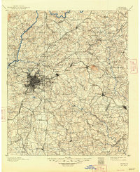
Editions of this 1895 Atlanta Map
7 editions found
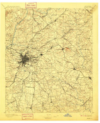
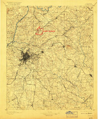
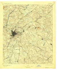
Other maps of this area

1888 · Atlanta
USGS Topo · 1:125,000

1890 · Suwanee
USGS Topo · 1:125,000

1890 · Cartersville
USGS Topo · 1:125,000

1890 · Atlanta
USGS Topo · 1:125,000

1891 · Marietta
USGS Topo · 1:125,000

1891 · Gainesville
USGS Topo · 1:125,000

1891 · Cartersville
USGS Topo · 1:125,000

1892 · Atlanta
USGS Topo · 1:125,000

1894 · Suwanee
USGS Topo · 1:125,000

1895 · Atlanta
USGS Topo · 1:125,000