
1900 Map of Atoka
USGS Topo · Published 1900About this map
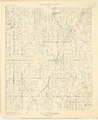
Atoka and Lehigh anchor this turn-of-the-century portrait of Indian Territory, a landscape defined by the intersection of tribal nations and the advancing Missouri Kansas and Texas R.R. The map clearly delineates the Chickasaw Nation Choctaw Nation boundary line, illustrating the complex geography of the region before Oklahoma statehood. Significant cultural landmarks are visible, including the Chickasaw Rock Academy and the historic Old Boggy Depot, which served as a vital junction on the Butterfield Overland Mail route.
Find a feature on this map
83 named features on this map. Tap any name to fly to it.
Don’t see what you’re looking for? This feature index may not catch every label — zoom into the map to look around manually.
Map Details
Editions of this 1900 Atoka Map
4 editions found
Other maps of this area

1896 · Coalgate
USGS Topo · 1:125,000

1898 · McAlester
USGS Topo · 1:125,000

1899 · Coalgate
USGS Topo · 1:125,000

1899 · Atoka
USGS Topo · 1:125,000

1900 · Coalgate
USGS Topo · 1:125,000

1901 · Stonewall
USGS Topo · 1:125,000

1901 · Tishomingo
USGS Topo · 1:125,000

1901 · Antlers
USGS Topo · 1:125,000

1901 · Denison
USGS Topo · 1:125,000

1903 · Paris
USGS Topo · 1:125,000