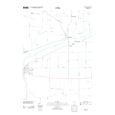
2013 Map of Attica
USGS Topo · Published 2013About this map
The Wabash River serves as the central artery for this region of Fountain County, carving a wide valley that defines the local settlement patterns. Along its banks, the established community of Attica stands as a primary hub, while smaller river-oriented hamlets like Independence and Riverside sit directly on its north and south shores respectively. The map captures a mix of riverbottom agriculture and upland plateaus, punctuated by drainage features such as Kickapoo Cr and Big Shawnee Cr. Aviation and local transport are represented by the Riley Field Airport and a grid of rural routes including E Independence Rd. Farther out from the river, small clusters and crossroads like Winthrop, Banning Corner, and Vine mark the transition into the broader Indiana agricultural landscape. Notable geographic landmarks like Opossum Hollow and Kates Lake provide specific points of reference for local historians and land surveyors.
Find a feature on this map
94 named features on this map. Tap any name to fly to it.
Don’t see what you’re looking for? This feature index may not catch every label — zoom into the map to look around manually.
Map Details
Editions of this 2013 Attica Map
This is the sole edition of this map. No revisions or reprints were ever made.
Other maps of this area

1942 · Otterbein
USGS Topo · 1:24,000

1951 · Otterbein
USGS Topo · 1:24,000

1953 · Danville
USGS Topo · 1:250,000

1955 · Danville
USGS Topo · 1:250,000

1956 · Danville
USGS Topo · 1:250,000

1958 · Stonebluff
USGS Topo · 1:24,000

1961 · Chatterton
USGS Topo · 1:24,000

1961 · Pine Village
USGS Topo · 1:24,000

1961 · Otterbein
USGS Topo · 1:24,000

1962 · Williamsport
USGS Topo · 1:24,000