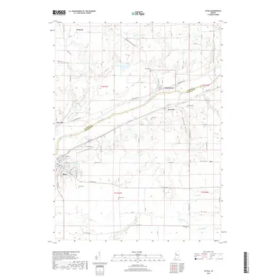
2019 Map of Attica
USGS Topo · Published 2019About this map
Attica sits at the southwestern heart of this region, where the Wabash River carves a natural boundary between Warren and Fountain counties. The river valley is a central corridor for transport and settlement, with the community of Riverside and the hilltop village of Independence overlooking its banks. A network of smaller waterways, including Kickapoo Creek, Dry Br, and Big Shawnee Creek, feeds into the Wabash, creating a complex drainage pattern through the surrounding agricultural lands. Local history and genealogy are well-represented by several scattered burial grounds, such as Bethel Cem in the northwest and Greenbay Cem to the south. The landscape is characterized by its rural infrastructure, from the small cluster at Vine to the athletic grounds of Riley Field near the river, reflecting a long-standing balance between established towns and the open fields of the Indiana interior.
Find a feature on this map
92 named features on this map. Tap any name to fly to it.
Don’t see what you’re looking for? This feature index may not catch every label — zoom into the map to look around manually.
Map Details
Editions of this 2019 Attica Map
This is the sole edition of this map. No revisions or reprints were ever made.
Other maps of this area

1942 · Otterbein
USGS Topo · 1:24,000

1951 · Otterbein
USGS Topo · 1:24,000

1953 · Danville
USGS Topo · 1:250,000

1955 · Danville
USGS Topo · 1:250,000

1956 · Danville
USGS Topo · 1:250,000

1958 · Stonebluff
USGS Topo · 1:24,000

1961 · Chatterton
USGS Topo · 1:24,000

1961 · Pine Village
USGS Topo · 1:24,000

1961 · Otterbein
USGS Topo · 1:24,000

1962 · Williamsport
USGS Topo · 1:24,000