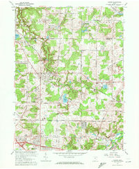
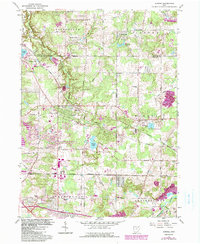
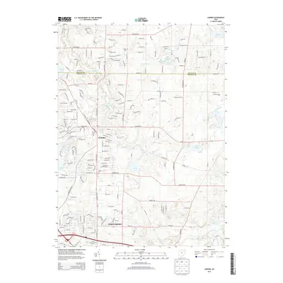
1962 Map of Aurora
USGS Topo · Published 1972About this map
Aurora and its surrounding townships in Portage and Geauga counties appear here in the early 1960s, a period marked by the convergence of traditional rural landmarks and modern transit. The landscape is defined by the Erie-Lackawanna railroad line and the Ohio Turnpike, which slice through the rolling terrain near water bodies like Geauga Lake and Sunny Lake. For genealogists, the map preserves specific cultural sites including the Mennonite Ch, Plainview Ch, and the Wait Sch, alongside named communities such as Taborville and Beartown. To the south, the Cuyahoga River and the newly established Hollow Lakes characterize the headwaters region, while the Aurora Corporate Boundary reflects the mid-century growth of this suburbanizing landscape. The presence of a Sandpit and Gravel Pit indicates the local industrial activity that supported the infrastructure expansion of the era.
Find a feature on this map
50 named features on this map. Tap any name to fly to it.
Don’t see what you’re looking for? This feature index may not catch every label — zoom into the map to look around manually.
Map Details
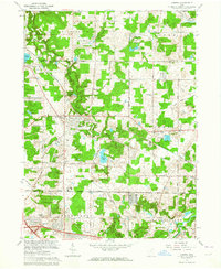
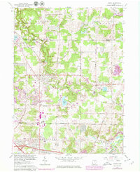
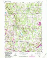
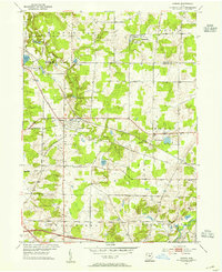
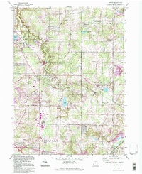
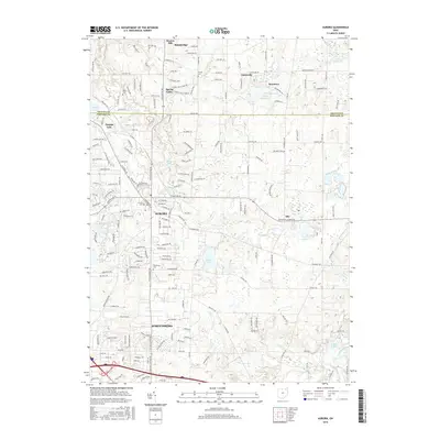
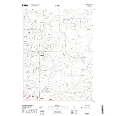
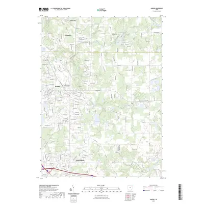
Editions of this 1962 Aurora Map
5 editions found
Historical Maps of Streetsboro Through Time
8 maps found
Featured Locations
- Aurora, OH
- Shalersville Township, OH
- Streetsboro, OH
- Bainbridge Township, OH
- Spring Valley, Bainbridge Township