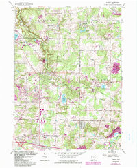
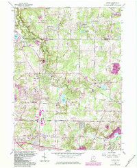
1962 Map of Aurora
USGS Topo · Published 1990About this map
Aurora and its surrounding townships in Geauga and Portage counties appear here as a landscape of recreational lakes and developing suburban infrastructure in the early 1960s. The map highlights the transition from rural agricultural land to a community shaped by water and transit, with Geauga Lake serving as a major focal point in the northwest. Industrial and extractive activities are visible via several Sandpits, a Gravel Pit, and a Strip Mine, while the growing residential and social character is evidenced by the Aurora Country Club and the YMCA Camp.
Find a feature on this map
40 named features on this map. Tap any name to fly to it.
Don’t see what you’re looking for? This feature index may not catch every label — zoom into the map to look around manually.
Map Details
Editions of this 1962 Aurora Map
5 editions found
Other maps of this area

1905 · Garrettsville
USGS Topo · 1:62,500

1906 · Kent
USGS Topo · 1:62,500

1906 · Chagrin Falls
USGS Topo · 1:62,500

1906 · Ravenna
USGS Topo · 1:62,500

1907 · Garrettsville
USGS Topo · 1:62,500

1908 · Chagrin Falls
USGS Topo · 1:62,500

1908 · Ravenna
USGS Topo · 1:62,500

1950 · Cleveland
USGS Topo · 1:250,000

1953 · South Russell
USGS Topo · 1:24,000

1953 · Aurora
USGS Topo · 1:24,000