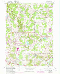
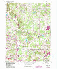
1962 Map of Aurora
USGS Topo · Published 1979About this map
The Aurora Corporate Boundary anchors this survey of northeastern Ohio, where the landscape is defined by the headwaters of the Aurora Branch and the Cuyahoga River. The map captures a moment of suburban and industrial development along the Ohio Turnpike and Conrail lines, yet retains significant rural and religious character. Two separate Mennonite churches and the Wait Sch reflect the deep-rooted community history of Portage and Geauga counties.
Find a feature on this map
66 named features on this map. Tap any name to fly to it.
Don’t see what you’re looking for? This feature index may not catch every label — zoom into the map to look around manually.
Map Details
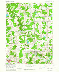
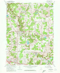
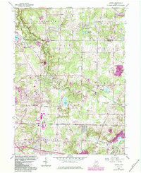
Editions of this 1962 Aurora Map
5 editions found
Other maps of this area

1905 · Garrettsville
USGS Topo · 1:62,500

1906 · Kent
USGS Topo · 1:62,500

1906 · Chagrin Falls
USGS Topo · 1:62,500

1906 · Ravenna
USGS Topo · 1:62,500

1907 · Garrettsville
USGS Topo · 1:62,500

1908 · Chagrin Falls
USGS Topo · 1:62,500

1908 · Ravenna
USGS Topo · 1:62,500

1950 · Cleveland
USGS Topo · 1:250,000

1953 · South Russell
USGS Topo · 1:24,000

1953 · Aurora
USGS Topo · 1:24,000