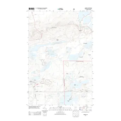
2013 Map of Aurora
USGS Topo · Published 2013About this map
The Embarrass Mountains dominate the northern landscape of this Iron Range quadrangle, where the industrial legacy of the Erie Mine Number One Pit and large-scale water management projects like the Donora Settling Basin define the terrain. In the southern portion, the city of Aurora sits near the Czechoslovakian National Cem, reflecting the diverse immigrant heritage central to the region's mining history. The map documents the relationship between established towns and the massive infrastructure of the mining industry, from the E Stephens Settling Basin to the clustered settlements of Hoyt Lakes and Mesaba. Waterways such as the Partridge River and Whitewater Lake are managed alongside the extraction pits, while the Superior National Forest boundary marks a transition from industrial activity to protected woodlands near Colby.
Find a feature on this map
51 named features on this map. Tap any name to fly to it.
Don’t see what you’re looking for? This feature index may not catch every label — zoom into the map to look around manually.
Map Details
Editions of this 2013 Aurora Map
This is the sole edition of this map. No revisions or reprints were ever made.
Other maps of this area

1949 · Aurora
USGS Topo · 1:24,000

1949 · Isaac Lake
USGS Topo · 1:24,000

1949 · Allen
USGS Topo · 1:24,000

1949 · Embarrass
USGS Topo · 1:24,000

1950 · Isaac Lake
USGS Topo · 1:24,000

1950 · Embarrass
USGS Topo · 1:24,000

1950 · Allen
USGS Topo · 1:24,000

1950 · Aurora
USGS Topo · 1:24,000

1950 · Biwabik
USGS Topo · 1:24,000

1950 · Biwabik NE
USGS Topo · 1:24,000