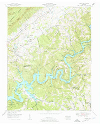
1952 Map of Ausmus
USGS Topo · Published 1954About this map
Powell River meanders through a landscape of deep hollows and narrow ridges as it flows toward the expansive waters of Norris Lake in this 1952 revision. The rugged topography of Cumberland Mountain dominates the northwestern corner, giving way to the settlement at Speedwell and the valley floor where Tenn 63 serves as the primary thoroughfare. The map reveals a densely settled rural landscape defined by family-named landmarks and numerous country churches, including Carr Chapel and Shipley Grove Church.
Find a feature on this map
108 named features on this map. Tap any name to fly to it.
Don’t see what you’re looking for? This feature index may not catch every label — zoom into the map to look around manually.
Map Details
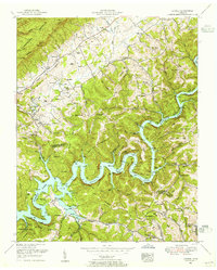
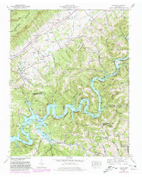
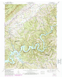
Editions of this 1952 Ausmus Map
4 editions found
Other maps of this area

1886 · Cumberland Gap
USGS Topo · 1:125,000

1888 · Cumberland Gap
USGS Topo · 1:125,000

1891 · Cumberland Gap
USGS Topo · 1:125,000

1897 · Maynardville
USGS Topo · 1:125,000

1900 · Maynardville
USGS Topo · 1:125,000

1903 · Middlesboro
USGS Topo · 1:48,000

1927 · Middlesboro
USGS Topo · 1:62,500

1930 · Middlesboro
USGS Topo · 1:62,500

1935 · Mingo Mountains
USGS Topo · 1:24,000

1935 · Cumberland Gap
USGS Topo · 1:24,000