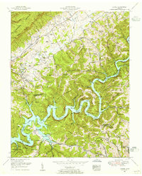
1952 Map of Ausmus
USGS Topo · Published 1955About this map
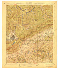
Norris Lake and the Powell River define this corner of East Tennessee, where the 1952 landscape reveals a transition between established valley farming and the recreational developments of the Tennessee Valley Authority. Numerous family-named landmarks such as Branscombe Cemetery, Moyers Cemetery, and Ausmus Cemetery dot the ridges and hollows, providing essential data for genealogical research in Claiborne and Union Counties. Small rural hubs like Speedwell and Rollins serve the surrounding highlands, supported by local institutions like the Rush Strong School and Leatherwood Church. Industrial remnants including Russell Mill and Collins Mill indicate a river-tied economy, while the Chuck Swan Management Area and Beech Grove Cabin Area signal the growing importance of managed conservation and leisure along the reservoir's complex shoreline.
Find a feature on this map
105 named features on this map. Tap any name to fly to it.
Don’t see what you’re looking for? This feature index may not catch every label — zoom into the map to look around manually.
Map Details
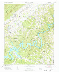
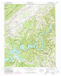
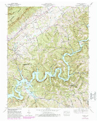
Editions of this 1952 Ausmus Map
4 editions found
Other maps of this area

1886 · Cumberland Gap
USGS Topo · 1:125,000

1888 · Cumberland Gap
USGS Topo · 1:125,000

1891 · Cumberland Gap
USGS Topo · 1:125,000

1897 · Maynardville
USGS Topo · 1:125,000

1900 · Maynardville
USGS Topo · 1:125,000

1903 · Middlesboro
USGS Topo · 1:48,000

1927 · Middlesboro
USGS Topo · 1:62,500
1930 · Middlesboro
USGS Topo · 1:62,500
1935 · Mingo Mountains
USGS Topo · 1:24,000

1935 · Cumberland Gap
USGS Topo · 1:24,000