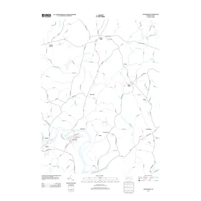
2013 Map of Avonmore
USGS Topo · Published 2013About this map
The Kiskiminetas River carves a prominent loop through this landscape, anchoring the borough of Avonmore and nearby settlements like Salina and Edmon. This 2013 topographic survey documents a region defined by its complex network of small runs and creeks, including Roaring Run, Whisky Run, and Blacklegs Cr, which follow narrow valleys between established communities.
Find a feature on this map
118 named features on this map. Tap any name to fly to it.
Don’t see what you’re looking for? This feature index may not catch every label — zoom into the map to look around manually.
Map Details
Editions of this 2013 Avonmore Map
This is the sole edition of this map. No revisions or reprints were ever made.
Other maps of this area
1900 · Latrobe
USGS Topo · 1:62,500
1902 · Latrobe
USGS Topo · 1:62,500
1902 · Elders Ridge
USGS Topo · 1:62,500
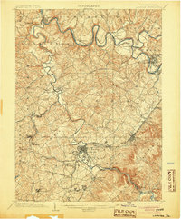
1903 · Latrobe
USGS Topo · 1:62,500
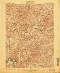
1904 · Elders Ridge
USGS Topo · 1:62,500
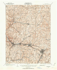
1904 · Greensburg
USGS Topo · 1:62,500
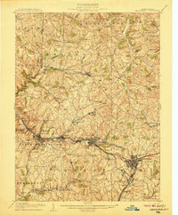
1906 · Greensburg
USGS Topo · 1:62,500
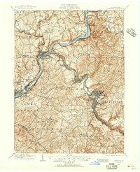
1907 · Freeport
USGS Topo · 1:62,500
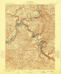
1909 · Freeport
USGS Topo · 1:62,500

1953 · Pittsburgh
USGS Topo · 1:250,000