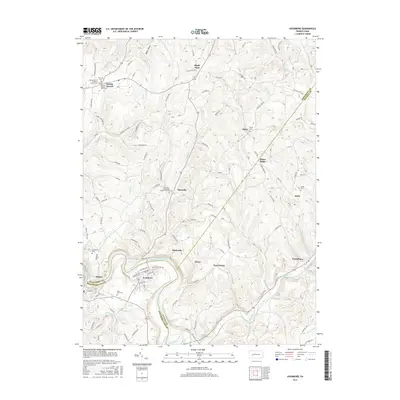
2016 Map of Avonmore
USGS Topo · Published 2016About this map
The Kiskiminetas River snakes through the southern reaches of this landscape, forming a natural boundary for Avonmore and the nearby settlement of Edmon. This region is defined by its transition between Armstrong, Indiana, and Westmoreland counties, a complex intersection reflected in the dispersed hamlets and family-named cemeteries that dot the high ground. Local history is deeply etched into the terrain at Spring Church, where the Spring Church Cem and Fairview Church sit near the headwaters of Carnahan Run.
Find a feature on this map
114 named features on this map. Tap any name to fly to it.
Don’t see what you’re looking for? This feature index may not catch every label — zoom into the map to look around manually.
Map Details
Editions of this 2016 Avonmore Map
This is the sole edition of this map. No revisions or reprints were ever made.
Other maps of this area

1900 · Latrobe
USGS Topo · 1:62,500

1902 · Latrobe
USGS Topo · 1:62,500

1902 · Elders Ridge
USGS Topo · 1:62,500

1903 · Latrobe
USGS Topo · 1:62,500

1904 · Elders Ridge
USGS Topo · 1:62,500

1904 · Greensburg
USGS Topo · 1:62,500

1906 · Greensburg
USGS Topo · 1:62,500

1907 · Freeport
USGS Topo · 1:62,500

1909 · Freeport
USGS Topo · 1:62,500

1953 · Pittsburgh
USGS Topo · 1:250,000