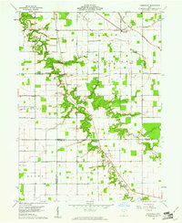
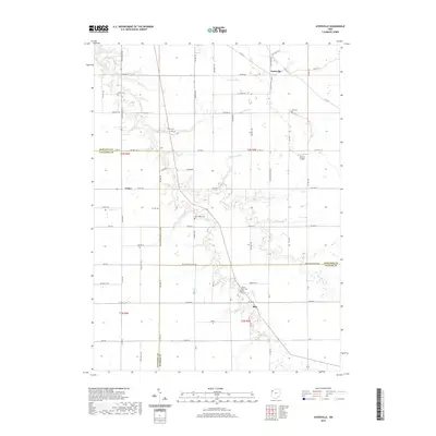
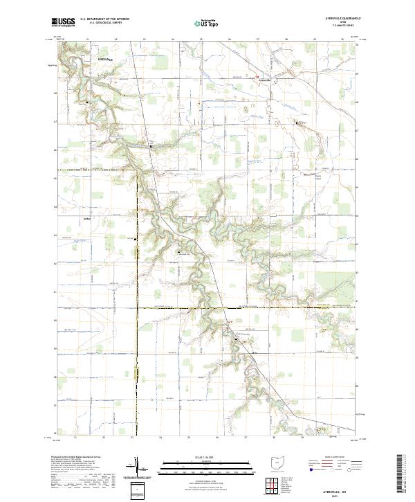
1960 Map of Ayersville
USGS Topo · Published 1961About this map
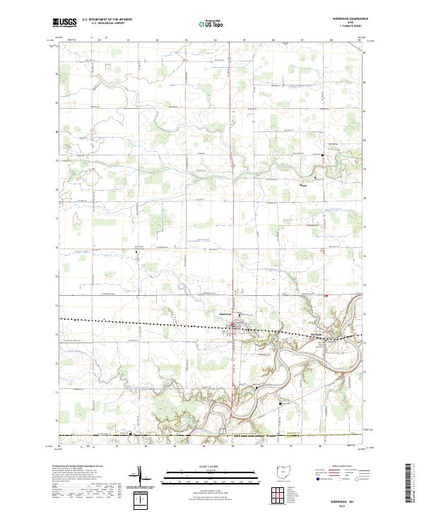
Ayersville serves as the primary hub in this Northwest Ohio landscape, which is defined by a dense grid of rural roads and the winding paths of Powell Creek and its tributaries. The drainage of the North Fork Powell Creek and South Fork Powell Creek creates fingers of wooded terrain that break up the expansive agricultural plots of Defiance, Paulding, and Putnam Counties. Genealogists will find a wealth of local markers, including family and community burial grounds such as Myers Cem, Hill Cem, and Ice Cem. The map also captures several country congregations, notably Highland Ch and Mt Zion Ch, which anchor the surrounding townships. South of the main settlement, the presence of Bauer Landing Field and the Grange Hall along the county line reflects the mid-century intersection of aviation and rural community life.
Find a feature on this map
36 named features on this map. Tap any name to fly to it.
Don’t see what you’re looking for? This feature index may not catch every label — zoom into the map to look around manually.
Map Details
Editions of this 1960 Ayersville Map
4 editions found
Historical Maps of Defiance Through Time
30 maps found
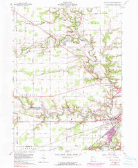
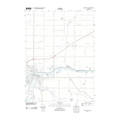
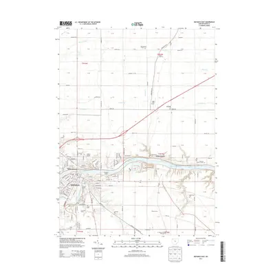
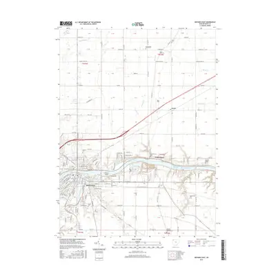
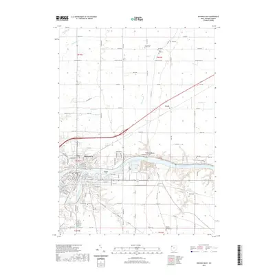
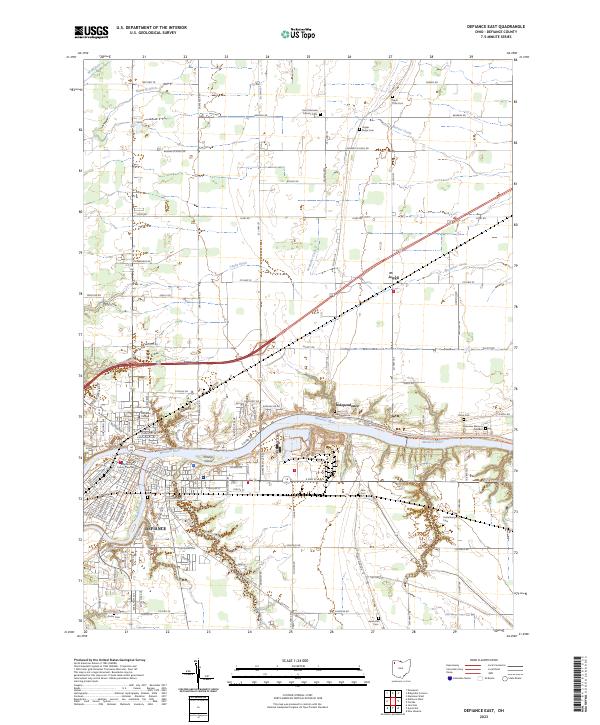
1959 Defiance East
Defiance County, OH
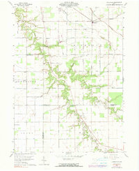
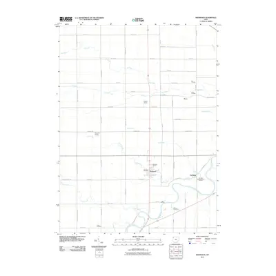
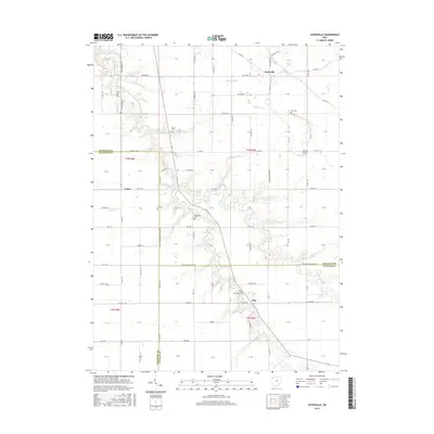
1960 Ayersville
Defiance County, OH
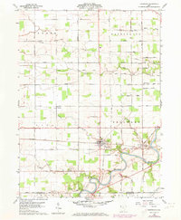
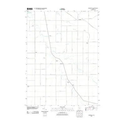
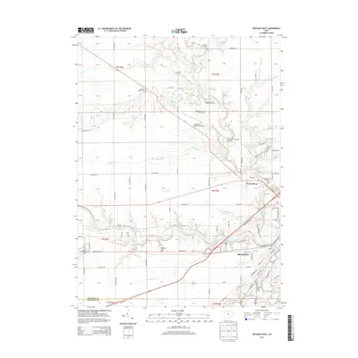
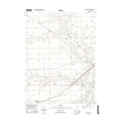
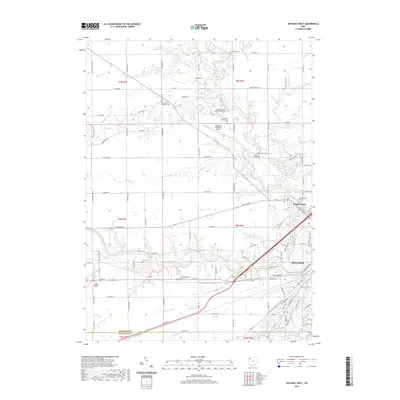
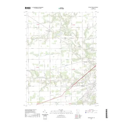
1960 Defiance West
Defiance County, OH
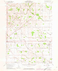
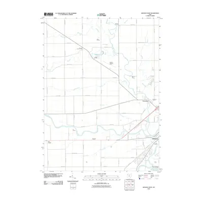
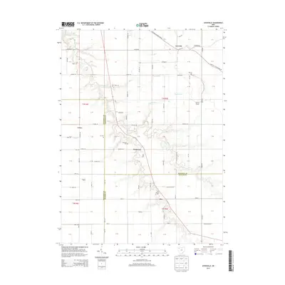
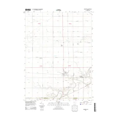
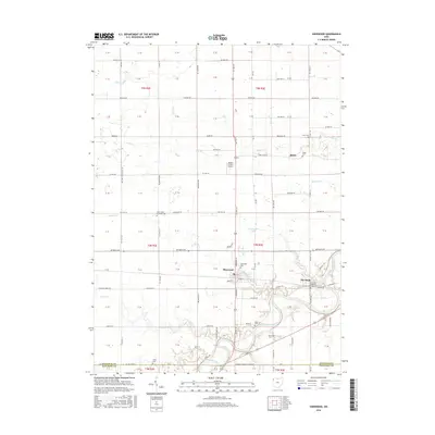
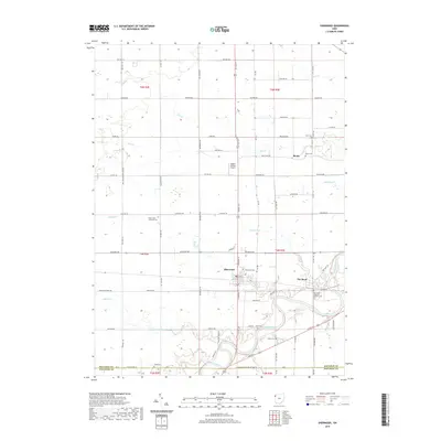
1960 Sherwood
Defiance County, OH
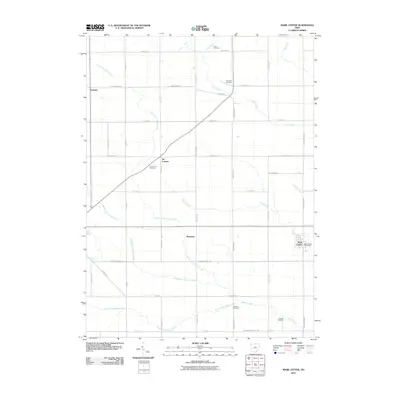
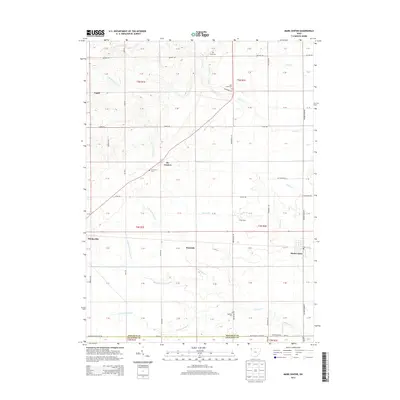
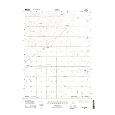
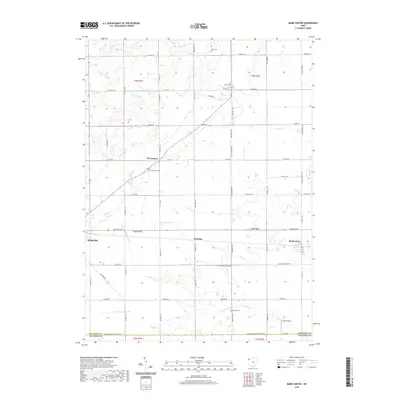
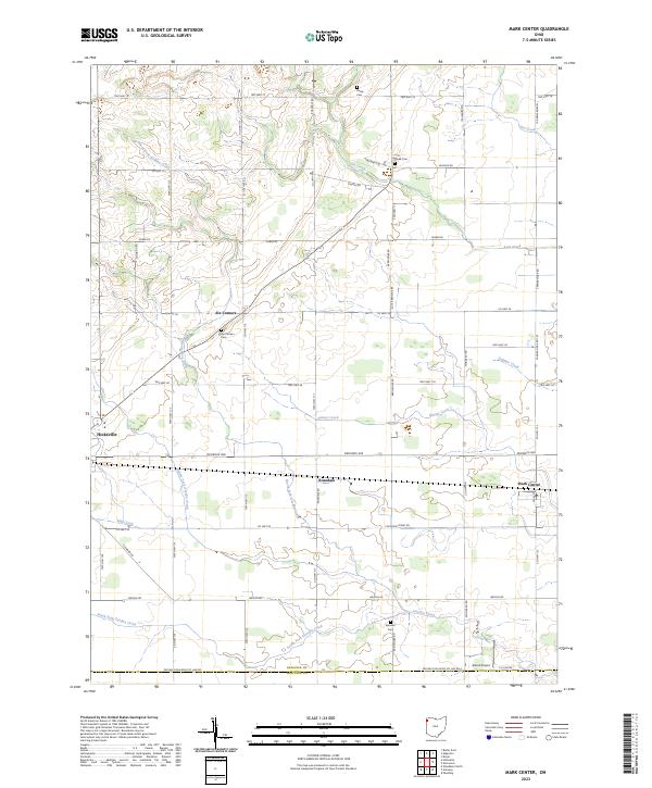
1961 Mark Center
Defiance County, OH
2010 Ayersville
Defiance County, OH
2010 Defiance East
Defiance County, OH
2010 Defiance West
Defiance County, OH
2010 Mark Center
Defiance County, OH
2010 Sherwood
Defiance County, OH
2013 Ayersville
Defiance County, OH
2013 Defiance East
Defiance County, OH
2013 Defiance West
Defiance County, OH
2013 Mark Center
Defiance County, OH
2013 Sherwood
Defiance County, OH
2016 Ayersville
Defiance County, OH
2016 Defiance East
Defiance County, OH
2016 Defiance West
Defiance County, OH
2016 Mark Center
Defiance County, OH
2016 Sherwood
Defiance County, OH
2019 Ayersville
Defiance County, OH
2019 Defiance East
Defiance County, OH
2019 Defiance West
Defiance County, OH
2019 Mark Center
Defiance County, OH
2019 Sherwood
Defiance County, OH
2023 Ayersville
Defiance County, OH
2023 Defiance East
Defiance County, OH
2023 Defiance West
Defiance County, OH
2023 Mark Center
Defiance County, OH
2023 Sherwood
Defiance County, OH