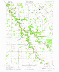
1960 Map of Ayersville
USGS Topo · Published 1974About this map
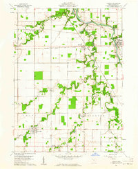
Powell Creek and its many winding tributaries, such as Wagner Run and Sutphen Run, carve deep, wooded ravines into the flat agricultural landscape of this three-county corner in Northwest Ohio. The map documents the rural intersections of Defiance, Paulding, and Putnam counties, where the community of Ayersville serves as a local hub near the Old Railroad Grade. This mid-century survey captures a landscape defined by century-old family farms and religious centers, featuring landmarks like Beulah Ch and Highland Ch. Local history researchers will find a wealth of genealogical data through the numerous family and community burial grounds, including Taylor Cem, Ice Cem, and Myers Cem. Transportation is represented by a grid of farm-to-market roads like Pleasant Bend Road and Watson Road, alongside the specialized Bauer Landing Field.
Find a feature on this map
33 named features on this map. Tap any name to fly to it.
Don’t see what you’re looking for? This feature index may not catch every label — zoom into the map to look around manually.
Map Details
Editions of this 1960 Ayersville Map
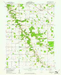
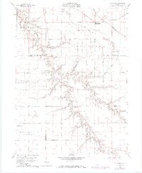
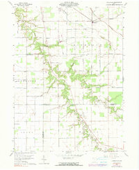
4 editions found
Other maps of this area

1907 · Defiance
USGS Topo · 1:62,500

1908 · Ottawa
USGS Topo · 1:62,500

1908 · Napoleon
USGS Topo · 1:62,500

1909 · Defiance
USGS Topo · 1:62,500

1909 · Continental
USGS Topo · 1:62,500

1953 · Fort Wayne
USGS Topo · 1:250,000

1956 · Fort Wayne
USGS Topo · 1:250,000

1959 · Defiance East
USGS Topo · 1:24,000

1959 · Florida
USGS Topo · 1:24,000
1960 · Oakwood
USGS Topo · 1:24,000