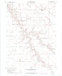
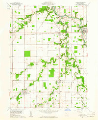
1960 Map of Ayersville
USGS Topo · Published 1974About this map
Ayersville serves as the primary hub in this corner of northwest Ohio, where the drainage patterns of Powell Run, Watson Run, and Sutphen Run dictate the local geography. The map reveals a deeply rooted rural landscape defined by family-named cemeteries such as Taylor Cem and Myers Cem, alongside a network of country churches including Highland Ch and Evangelical Ch. A notable landscape feature, the Hogback, rises between the forks of the Powell, while the presence of an Old Railroad Grade and the Grange Hall speaks to the transport and social history of the area. Land use is largely agricultural, punctuated by small settlements like Arthur and Rice, and the private Bauer Landing Field south of Eagle Creek.
Find a feature on this map
38 named features on this map. Tap any name to fly to it.
Don’t see what you’re looking for? This feature index may not catch every label — zoom into the map to look around manually.
Map Details
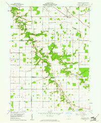
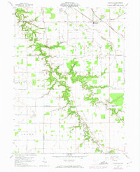
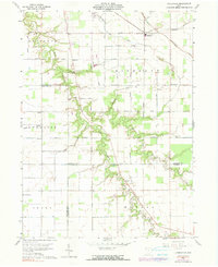
Editions of this 1960 Ayersville Map
4 editions found
Other maps of this area

1907 · Defiance
USGS Topo · 1:62,500

1908 · Ottawa
USGS Topo · 1:62,500

1908 · Napoleon
USGS Topo · 1:62,500

1909 · Defiance
USGS Topo · 1:62,500

1909 · Continental
USGS Topo · 1:62,500

1953 · Fort Wayne
USGS Topo · 1:250,000

1956 · Fort Wayne
USGS Topo · 1:250,000

1959 · Defiance East
USGS Topo · 1:24,000

1959 · Florida
USGS Topo · 1:24,000
1960 · Oakwood
USGS Topo · 1:24,000