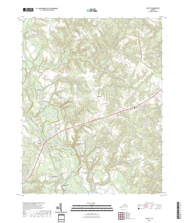
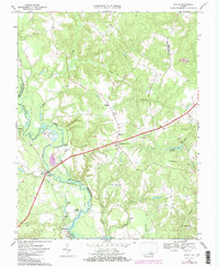
2022 Map of Aylett
USGS Topo · Published 2022About this map
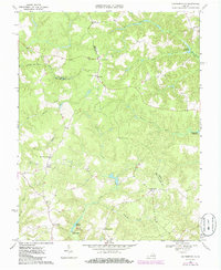
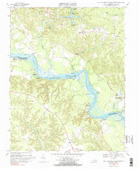
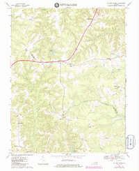
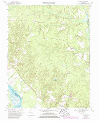
The Mattaponi River meanders through this portion of King and Queen and King William counties, serving as a defining geographic boundary and the focal point for local industry. The settlement of Aylett and the nearby Aylett Mill highlight a landscape deeply connected to the river's resources, while the river's channel is marked by navigational landmarks like Walker Bar and Robinson Bar. These features suggest a history of waterborne activity and milling that once dominated this Tidewater region.
Find a feature on this map
89 named features on this map. Tap any name to fly to it.
Don’t see what you’re looking for? This feature index may not catch every label — zoom into the map to look around manually.
Map Details
Editions of this 2022 Aylett Map
This is the sole edition of this map. No revisions or reprints were ever made.
Historical Maps of Biscoe Through Time
22 maps found

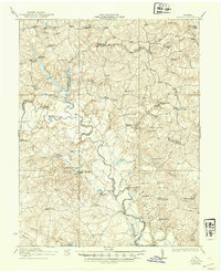
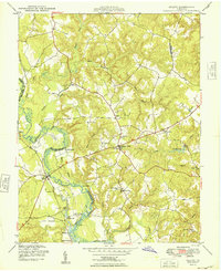
1918 Aylett
King and Queen County, VA
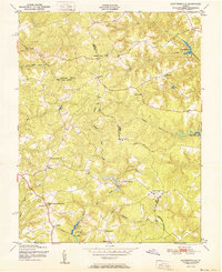
1933 Aylett
King and Queen County, VA
1944 Howertons
King and Queen County, VA
1945 Howertons
King and Queen County, VA
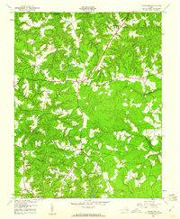
1949 Aylett
King and Queen County, VA

1949 King And Queen
King and Queen County, VA

1949 Shacklefords
King and Queen County, VA

1949 Truhart
King and Queen County, VA
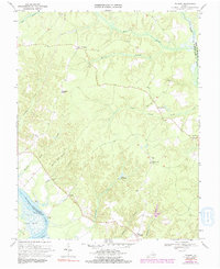
1951 Cauthornville
King and Queen County, VA
1965 Shacklefords
King and Queen County, VA
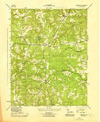
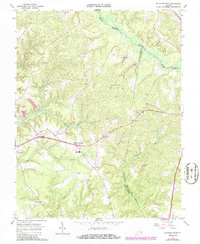
1968 Aylett
King and Queen County, VA
1968 Cauthornville
King and Queen County, VA
1968 King And Queen Court House
King and Queen County, VA
1968 Millers Tavern
King and Queen County, VA
1968 Truhart
King and Queen County, VA
1970 Truhart
King and Queen County, VA
2022 Aylett
King and Queen County, VA
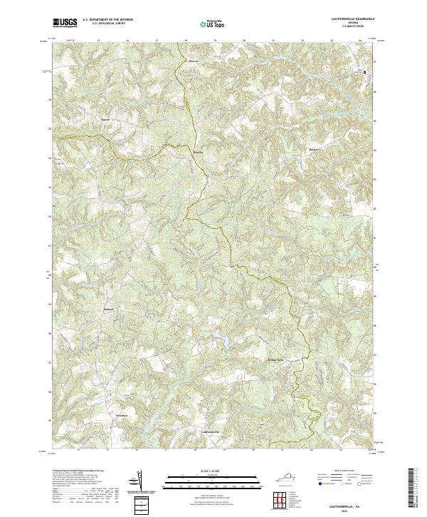
2022 Cauthornville
King and Queen County, VA
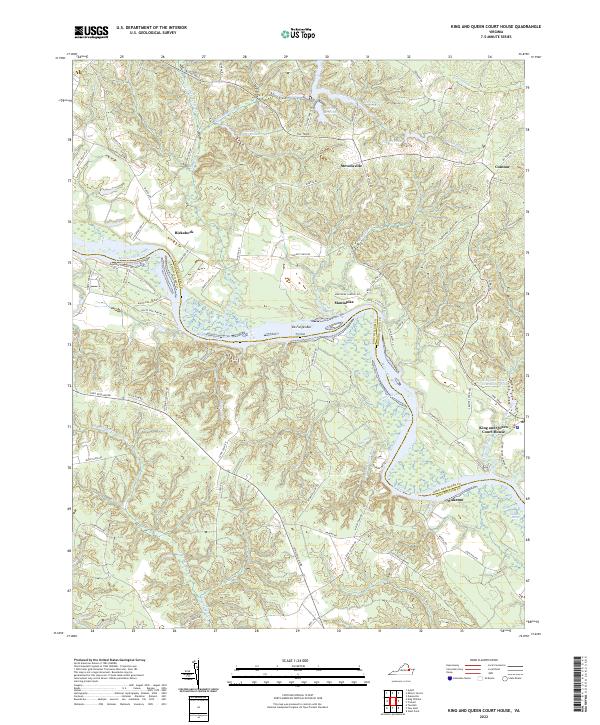
2022 King And Queen Court House
King and Queen County, VA
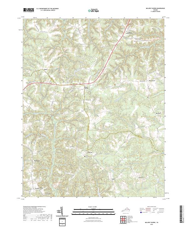
2022 Millers Tavern
King and Queen County, VA
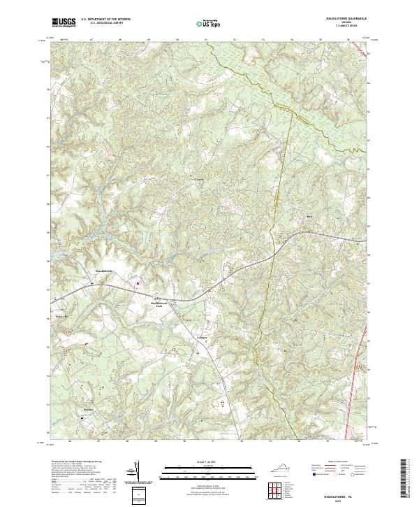
2022 Shacklefords
King and Queen County, VA
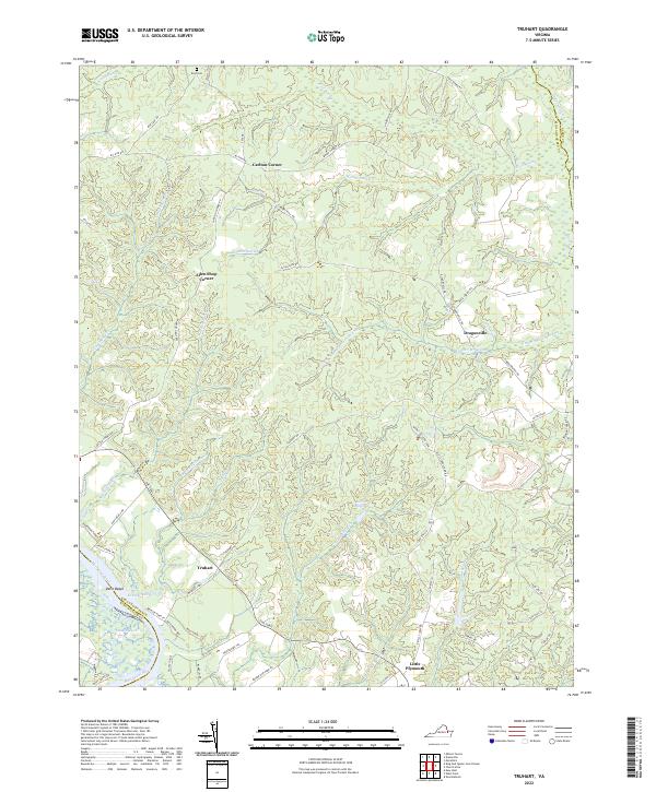
2022 Truhart
King and Queen County, VA