
1967 Map of Ayr NE
USGS Topo · Published 1969About this map
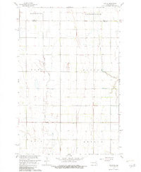
The Rush River and its tributary, the South Branch Rush River, carve a meandering path through the agricultural landscape of northern Cass County. This 1967 topographic study reveals a terrain meticulously divided by section lines and civil boundaries, including the Traill Co Cass Co line at the northern edge. The map captures the meeting point of several rural townships including Greenfield, Hunter, Arthur, and Erie, illustrating the late-1960s spatial organization of this prairie region.
Find a feature on this map
10 named features on this map. Tap any name to fly to it.
Don’t see what you’re looking for? This feature index may not catch every label — zoom into the map to look around manually.
Map Details
Editions of this 1967 Ayr NE Map
2 editions found
Other maps of this area

1918 · Kelso
USGS Topo · 1:62,500

1943 · Kelso
USGS Topo · 1:62,500

1952 · Grand Forks
USGS Topo · 1:250,000

1956 · Grand Forks
USGS Topo · 1:250,000

1966 · Grand Forks
USGS Topo · 1:250,000

1966 · Galesburg
USGS Topo · 1:24,000

1967 · Blanchard
USGS Topo · 1:24,000

1967 · Ayr NW
USGS Topo · 1:24,000
1967 · Hunter
USGS Topo · 1:24,000
1967 · Ayr SE
USGS Topo · 1:24,000