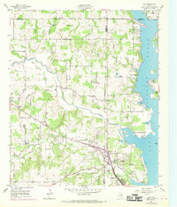
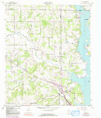
1955 Map of Azle
USGS Topo · Published 1969About this map
Eagle Mountain Lake dominates the eastern edge of this mid-century landscape, where the irregular shoreline of the reservoir meets the developed communities of Azle and Eagle Acres. The area reflects a period of transition as the rural character of Wise, Parker, and Tarrant counties began to integrate with the expanding suburban and recreational needs of the Fort Worth region. Transportation and infrastructure are central to this 1955 survey, updated in 1968, featuring the Jacksboro Highway corridor and a prominent pipeline cutting across the terrain.
Find a feature on this map
38 named features on this map. Tap any name to fly to it.
Don’t see what you’re looking for? This feature index may not catch every label — zoom into the map to look around manually.
Map Details
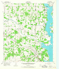
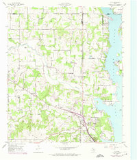
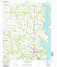
Editions of this 1955 Azle Map
6 editions found
Other maps of this area

1891 · Weatherford
USGS Topo · 1:125,000

1893 · Weatherford
USGS Topo · 1:125,000

1894 · Fort Worth
USGS Topo · 1:125,000

1924 · Sunset 4-d
USGS Topo · 1:48,000

1930 · Boyd
USGS Topo · 1:62,500

1932 · Springtown
USGS Topo · 1:62,500

1954 · Dallas
USGS Topo · 1:250,000

1954 · Sherman
USGS Topo · 1:250,000

1955 · Avondale
USGS Topo · 1:24,000

1955 · Azle
USGS Topo · 1:24,000