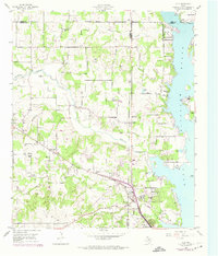
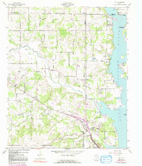
1955 Map of Azle
USGS Topo · Published 1974About this map
Eagle Mountain Lake dominates the eastern edge of this landscape, where the waters meet the tri-county boundary of Wise, Parker, and Tarrant. The settlement of Azle serves as a local hub near the southern shore, positioned along the Jacksboro Highway. The 1950s terrain is characterized by a network of creeks, including Walnut Creek and Ash Creek, which carve through the land before reaching the reservoir.
Find a feature on this map
40 named features on this map. Tap any name to fly to it.
Don’t see what you’re looking for? This feature index may not catch every label — zoom into the map to look around manually.
Map Details
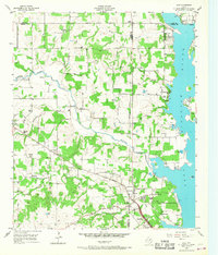
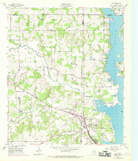
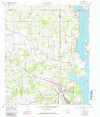
Editions of this 1955 Azle Map
6 editions found
Other maps of this area

1891 · Weatherford
USGS Topo · 1:125,000

1893 · Weatherford
USGS Topo · 1:125,000

1894 · Fort Worth
USGS Topo · 1:125,000

1924 · Sunset 4-d
USGS Topo · 1:48,000

1930 · Boyd
USGS Topo · 1:62,500

1932 · Springtown
USGS Topo · 1:62,500

1954 · Dallas
USGS Topo · 1:250,000

1954 · Sherman
USGS Topo · 1:250,000

1955 · Avondale
USGS Topo · 1:24,000

1955 · Azle
USGS Topo · 1:24,000