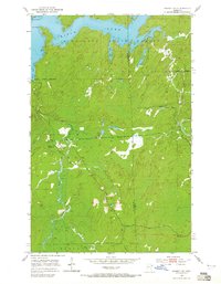
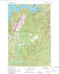
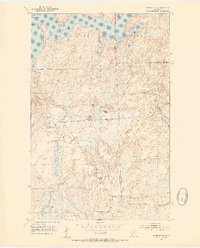
1952 Map of Babbitt NE
USGS Topo · Published 1965About this map
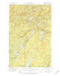
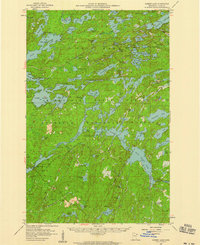
Birch Lake and its intricate northern shoreline dominate this 1952 field-checked map of the Minnesota north woods. The landscape is a mosaic of water and timber, defined by the boundaries of the Minnesota State Forest and the Superior National Forest. While modern recreation now defines much of this region, the map records the industrial and logistical remnants of an earlier era, including the Tomahawk Camp (Abandoned) and an Old Landing Field situated amidst the dense forest. The Dunka River and Stony River carve through the glacial terrain, providing a look at the drainage patterns before significant development. Small-scale resource extraction is noted by a Quarry, while the specific topography of bays like Klotuchar Bay and Dunca Bay offer detail for those studying the evolution of this waterway.
Find a feature on this map
17 named features on this map. Tap any name to fly to it.
Don’t see what you’re looking for? This feature index may not catch every label — zoom into the map to look around manually.
Map Details
Editions of this 1952 Babbitt NE Map
6 editions found
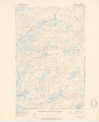
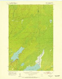
Other maps of this area

1933 · Ely
USGS Topo · 1:62,500

1939 · Ely
USGS Topo · 1:62,500
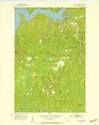
1951 · Babbitt SW
USGS Topo · 1:24,000
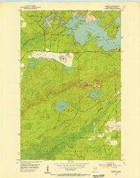
1951 · Babbitt
USGS Topo · 1:24,000
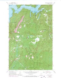
1952 · Babbitt SE
USGS Topo · 1:24,000
1952 · Babbitt NE
USGS Topo · 1:24,000
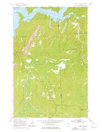
1954 · Greenwood Lake
USGS Topo · 1:62,500

1954 · Two Harbors
USGS Topo · 1:250,000

1957 · Two Harbors
USGS Topo · 1:250,000
1957 · Gabbro Lake
USGS Topo · 1:62,500
Featured Places
- Babbitt, MN
- Stony River Township, MN
- Bassett Township, MN
- Birch Lake (Unorganized Territory), MN
- Lake No. 2, MN