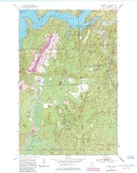
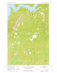
1952 Map of Babbitt NE
USGS Topo · Published 1985About this map
Bear Island State Forest and Finland State Forest dominate this landscape in St. Louis and Lake Counties, where the transition from wilderness to industrial extraction is clearly visible. The Erie Mining Company Railroad cuts through the terrain, serving a massive Mine Dump and Quarry near the Babbitt Corporate Boundary. This industrial activity stands in contrast to the numerous water bodies like Birch Lake, Stony River, and the curiously named Twenty Proof Creek.
Find a feature on this map
24 named features on this map. Tap any name to fly to it.
Don’t see what you’re looking for? This feature index may not catch every label — zoom into the map to look around manually.
Map Details
Editions of this 1952 Babbitt NE Map
6 editions found
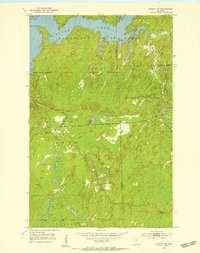
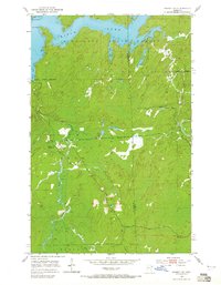
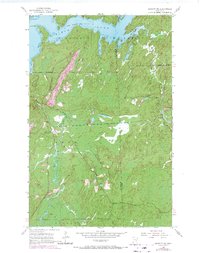
Other maps of this area

1933 · Ely
USGS Topo · 1:62,500

1939 · Ely
USGS Topo · 1:62,500

1951 · Babbitt SW
USGS Topo · 1:24,000

1951 · Babbitt
USGS Topo · 1:24,000

1952 · Babbitt SE
USGS Topo · 1:24,000

1952 · Babbitt NE
USGS Topo · 1:24,000

1954 · Greenwood Lake
USGS Topo · 1:62,500

1954 · Two Harbors
USGS Topo · 1:250,000

1957 · Two Harbors
USGS Topo · 1:250,000

1957 · Gabbro Lake
USGS Topo · 1:62,500
Featured Places
- Babbitt, MN
- Stony River Township, MN
- Bassett Township, MN
- Birch Lake (Unorganized Territory), MN
- Lake No. 2, MN