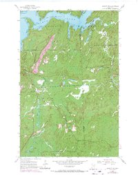
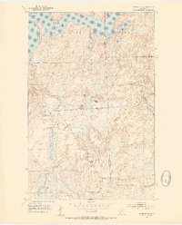
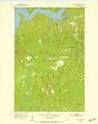
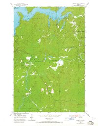
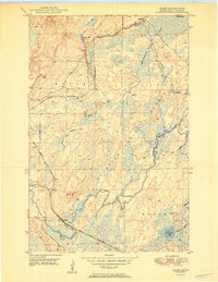
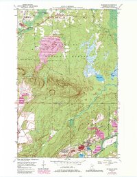
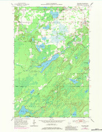
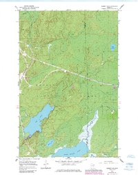
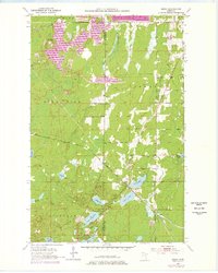
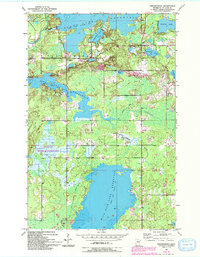
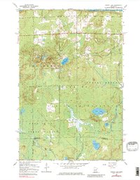
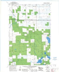
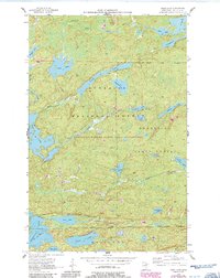
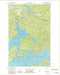
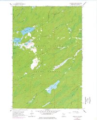
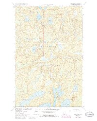
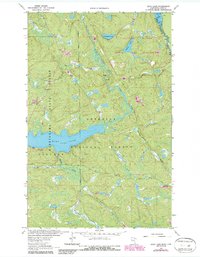
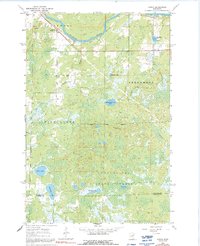
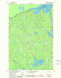
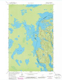
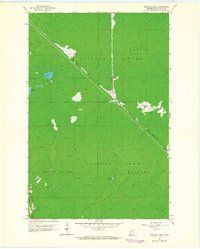
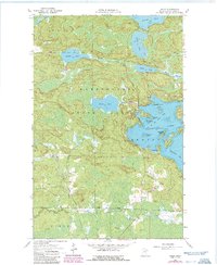
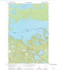
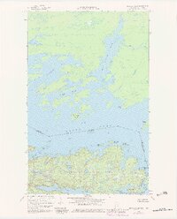
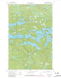
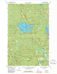
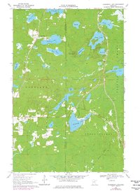
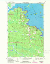
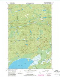
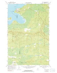
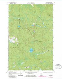
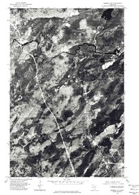
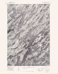
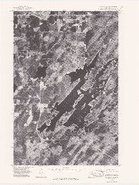
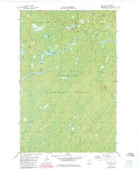
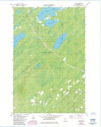
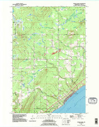
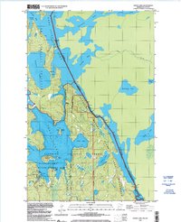
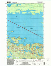
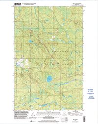
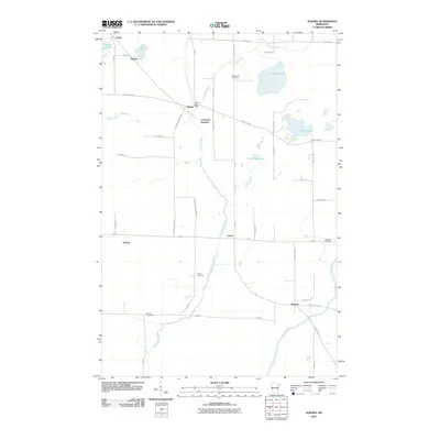
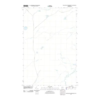
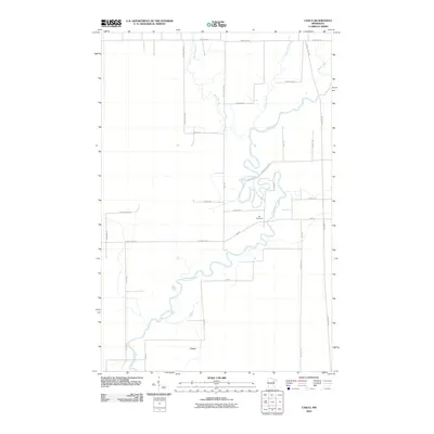
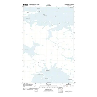
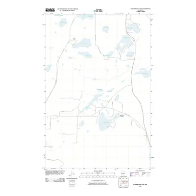
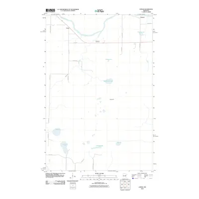
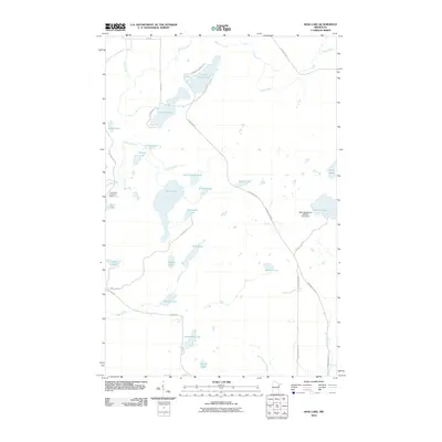
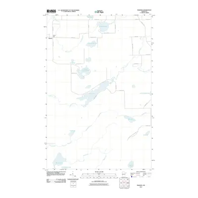
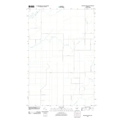
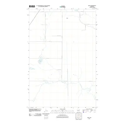
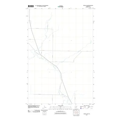
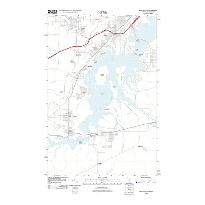
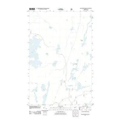
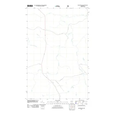
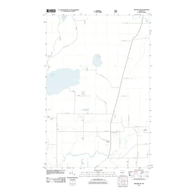
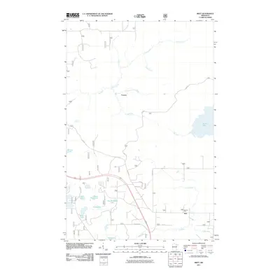
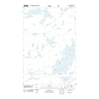
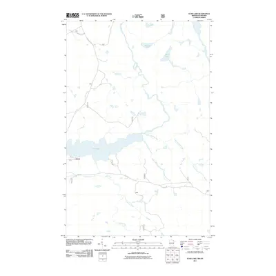
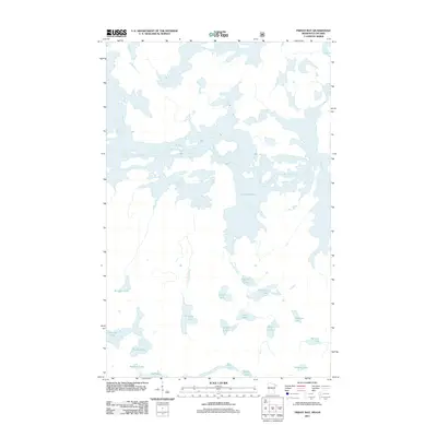
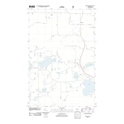
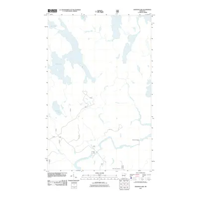
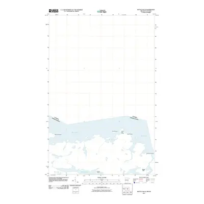
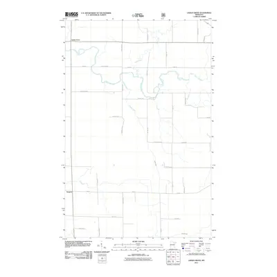
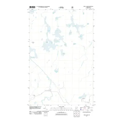
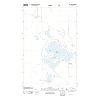
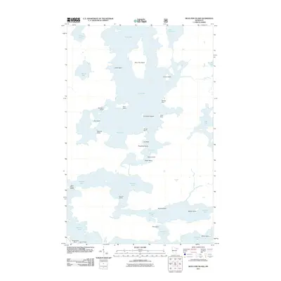
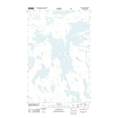
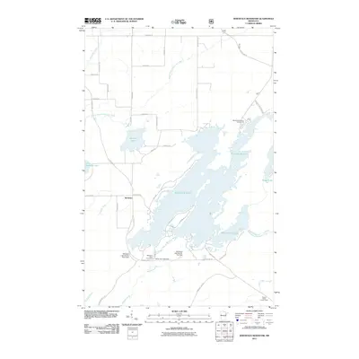
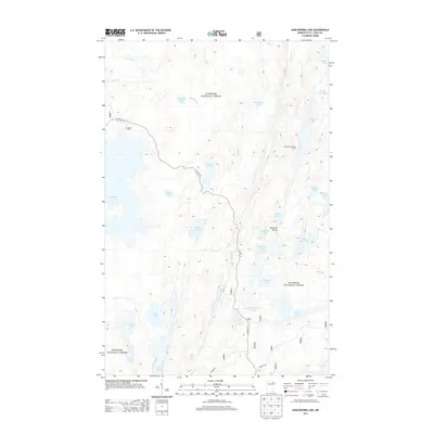
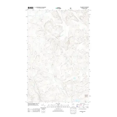
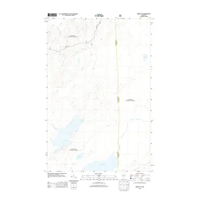
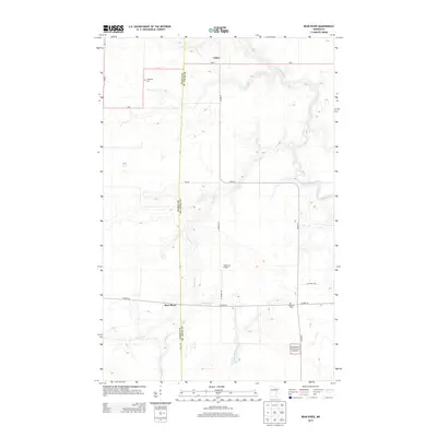
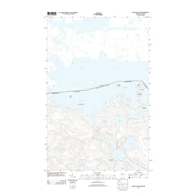
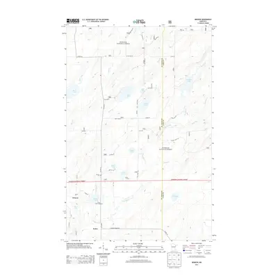
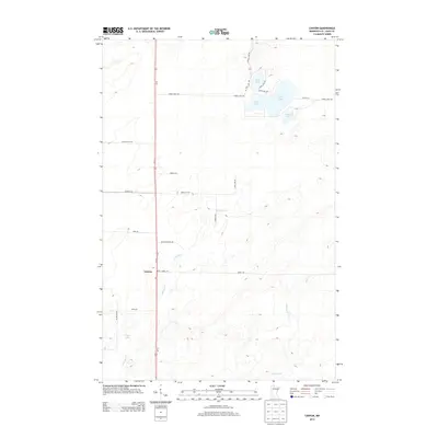
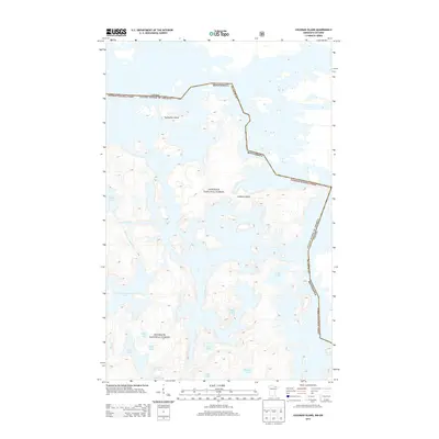
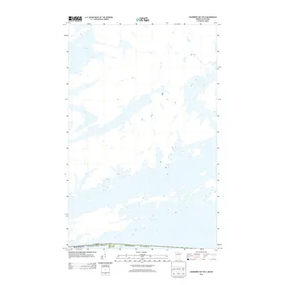
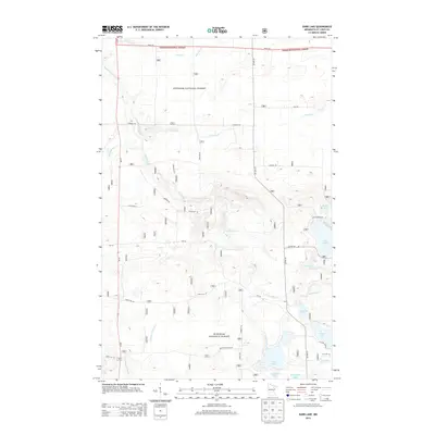
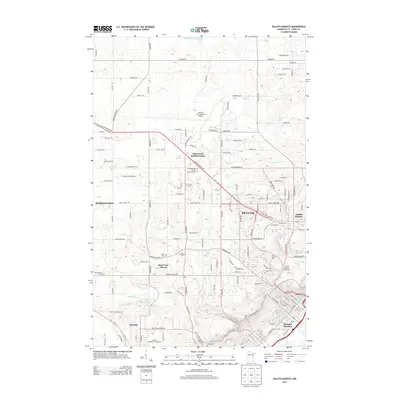
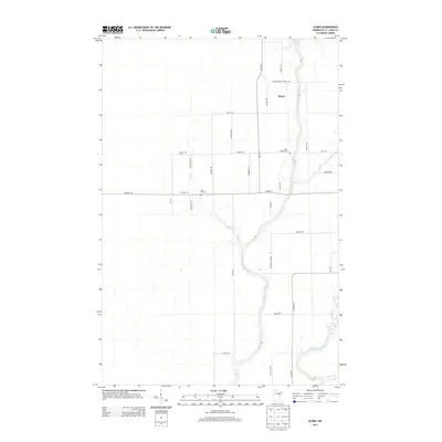
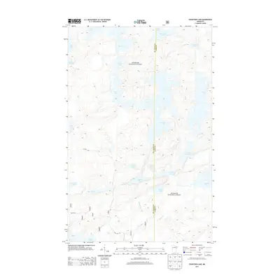
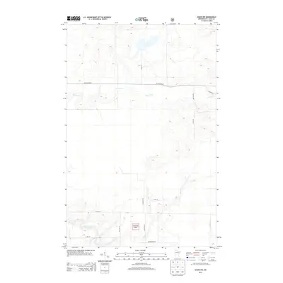
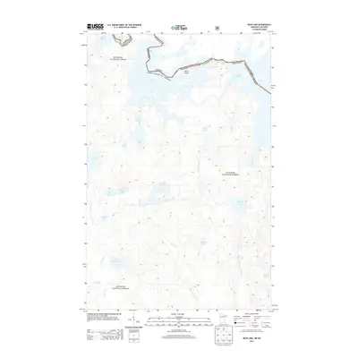
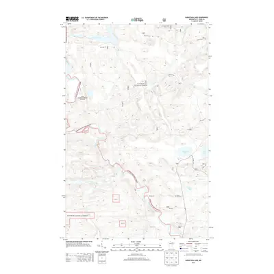
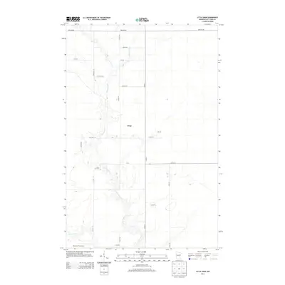
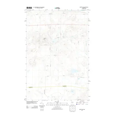
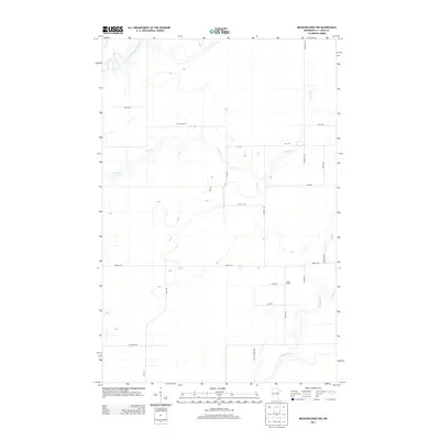
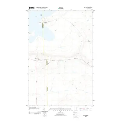
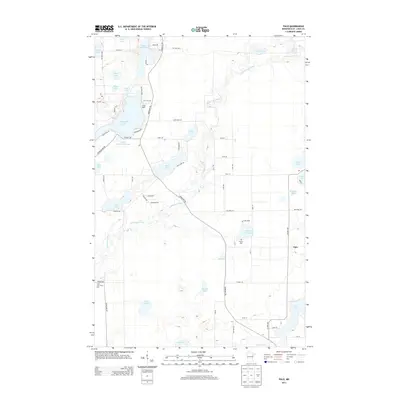
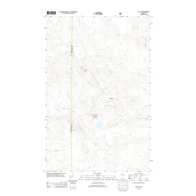
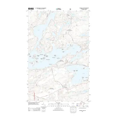
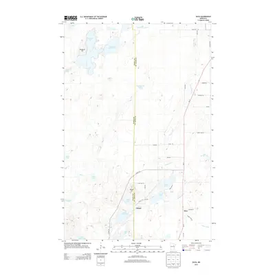
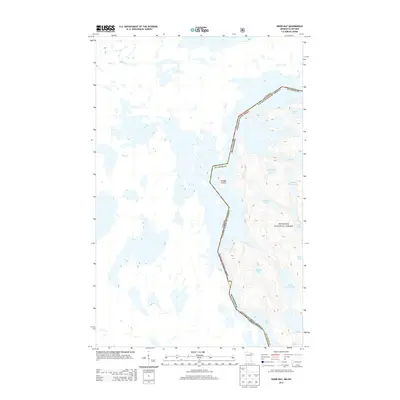
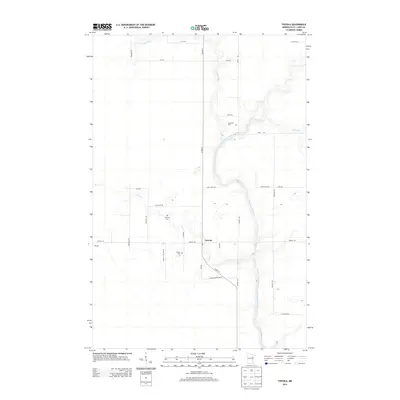
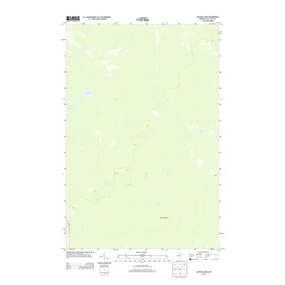
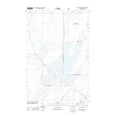
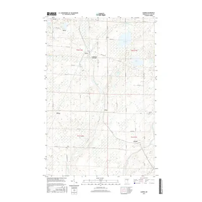
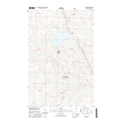
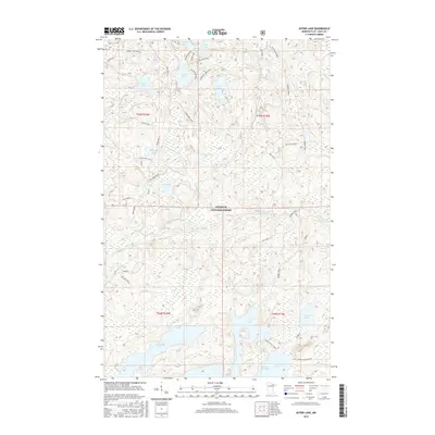
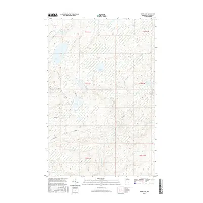
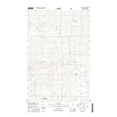
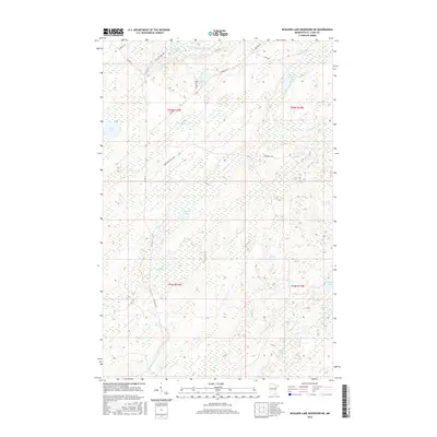
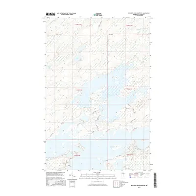
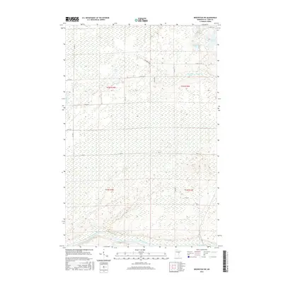
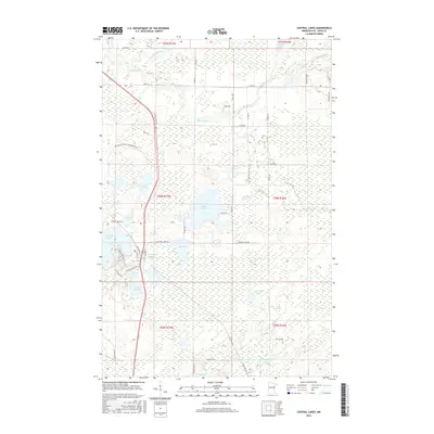
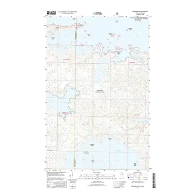
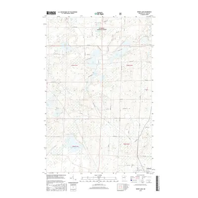
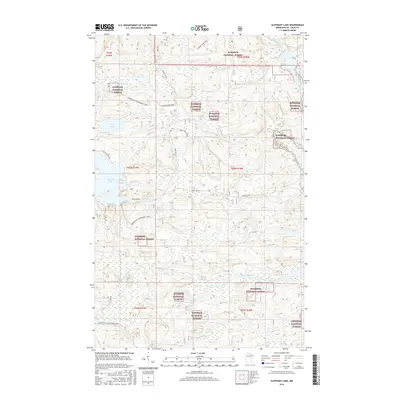
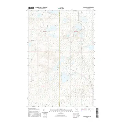
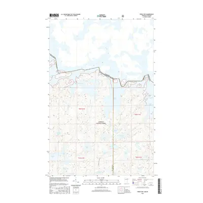
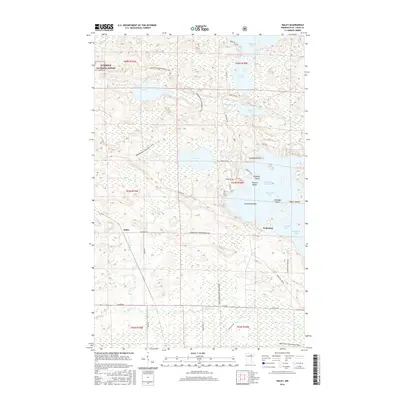
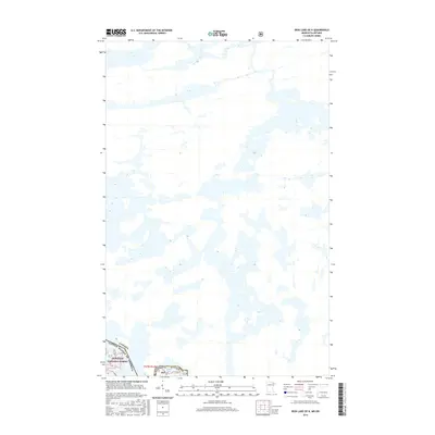
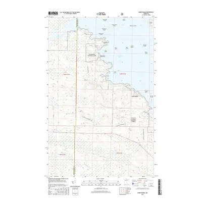
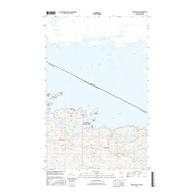
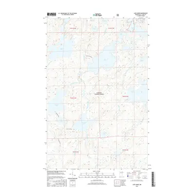
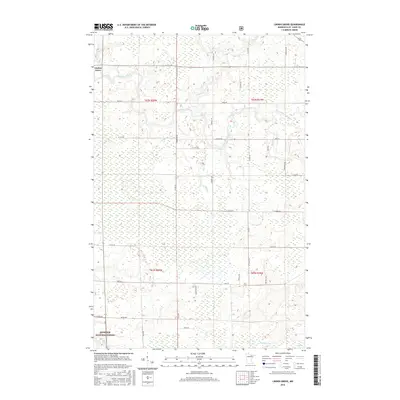
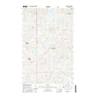
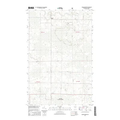
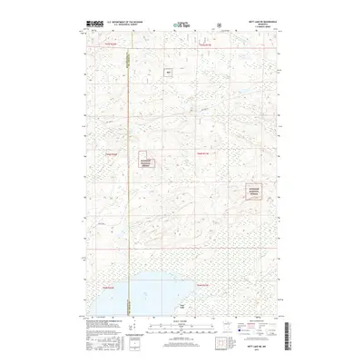
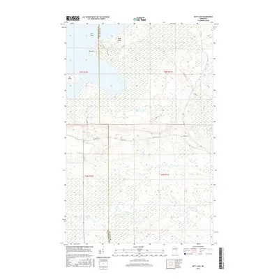
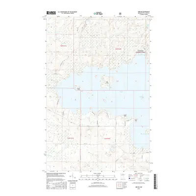
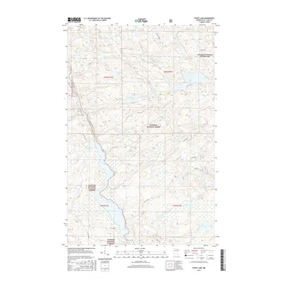
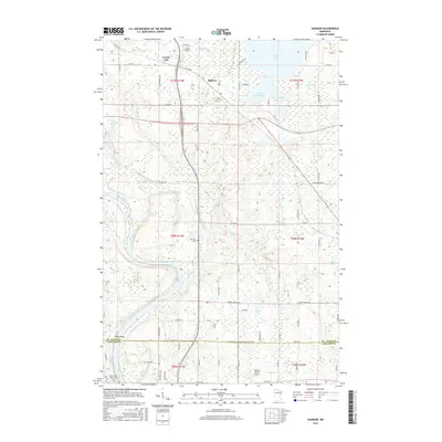
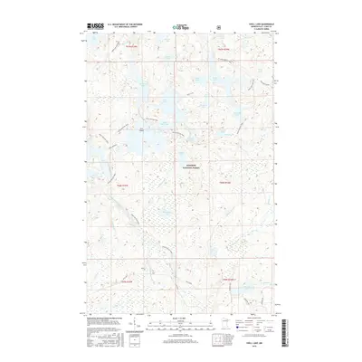
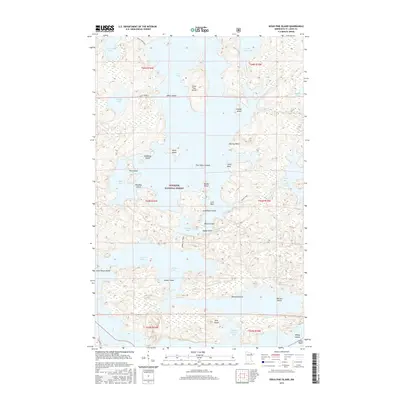
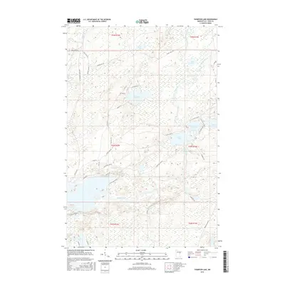
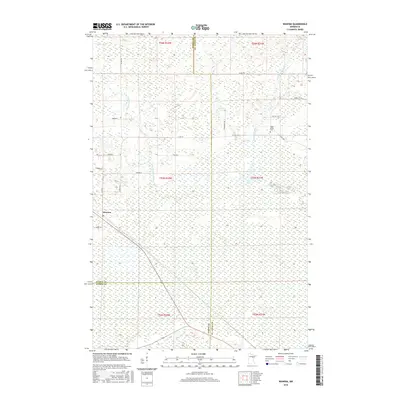
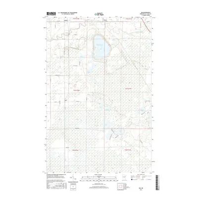
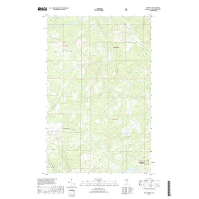
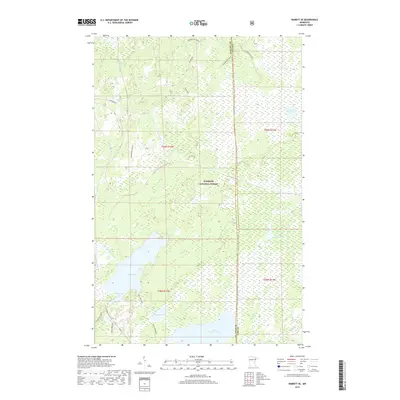
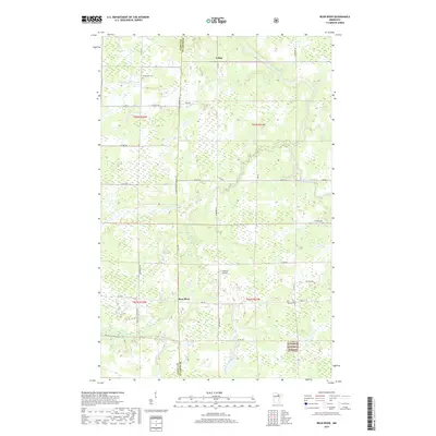
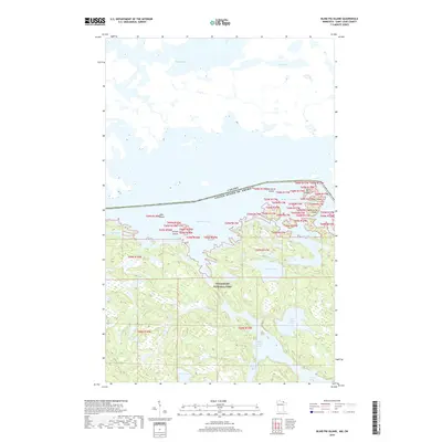
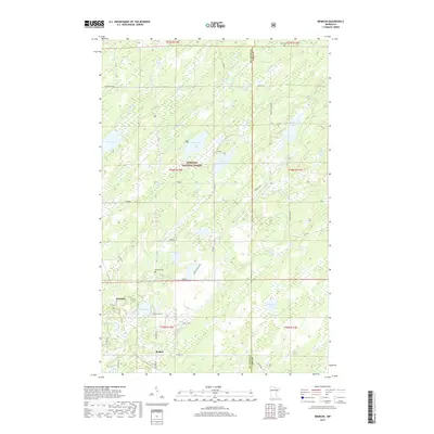
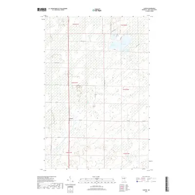
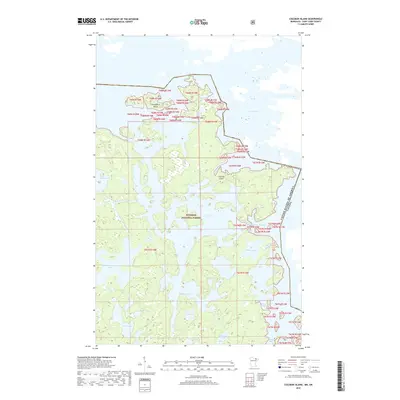
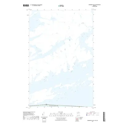
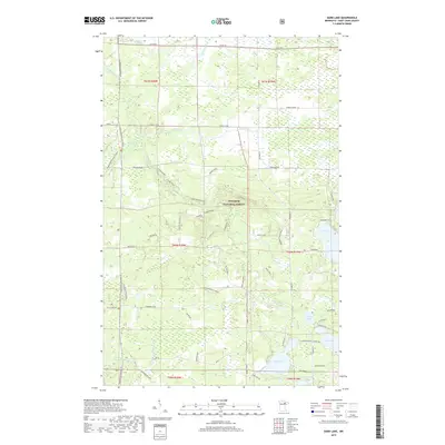
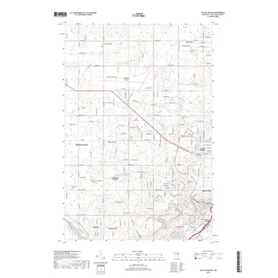
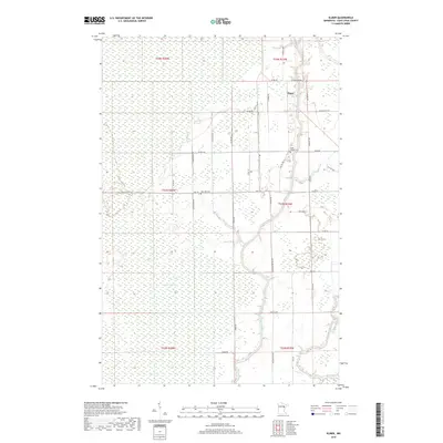
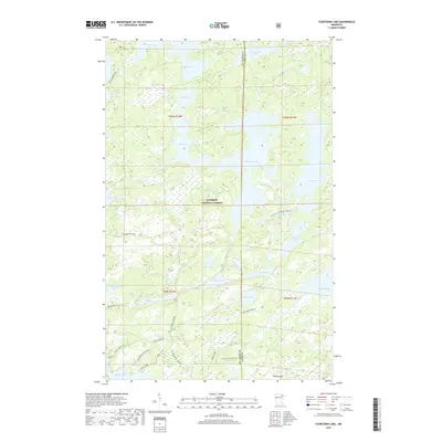
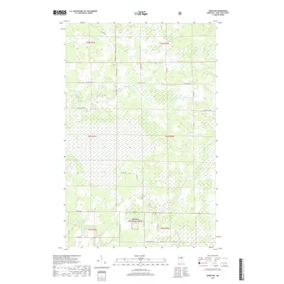
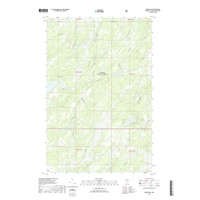
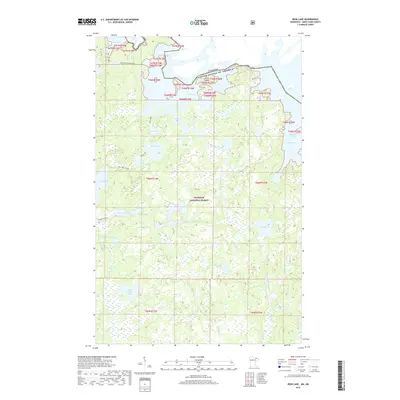
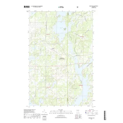
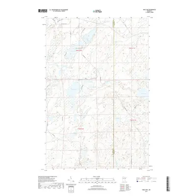
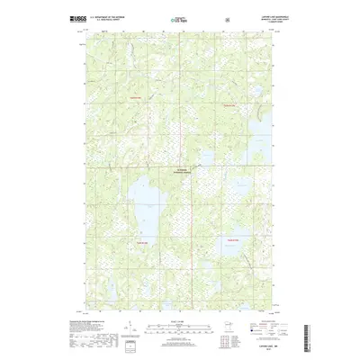
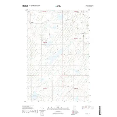
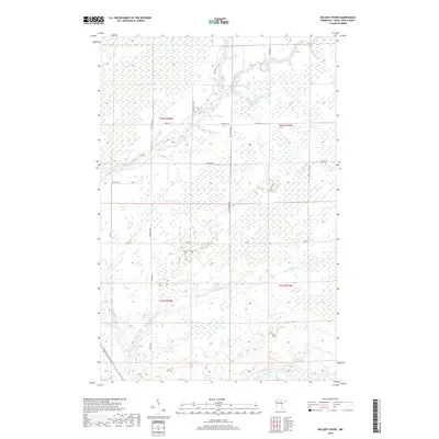
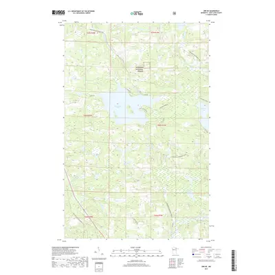
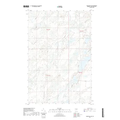
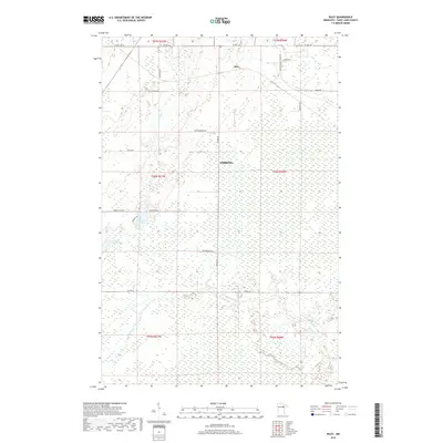
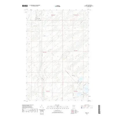
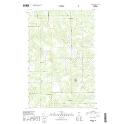
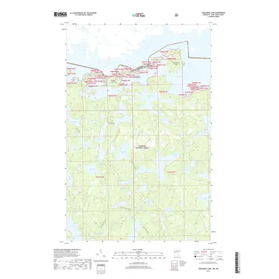
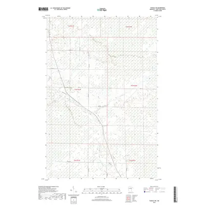
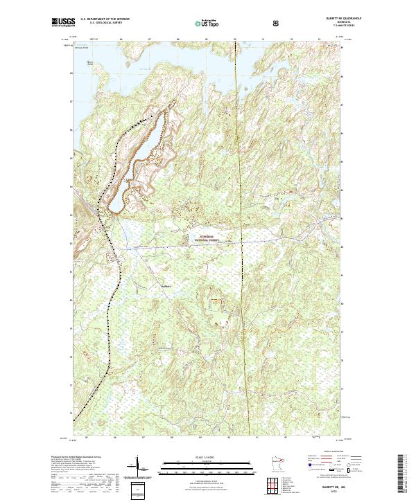
1952 Map of Babbitt NE
USGS Topo · Published 1971About this map
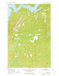
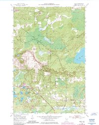
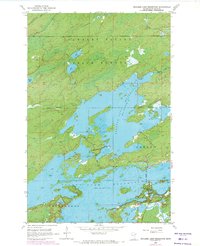
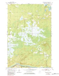
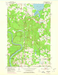
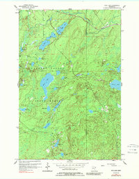
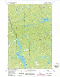
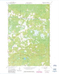
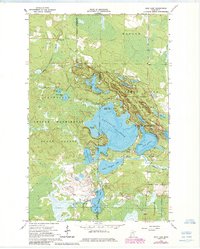
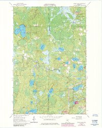
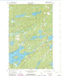
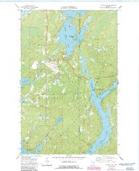
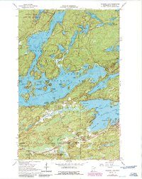
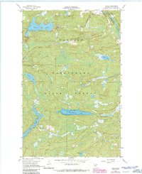
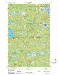
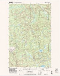
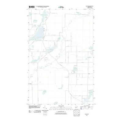
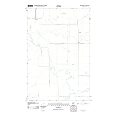
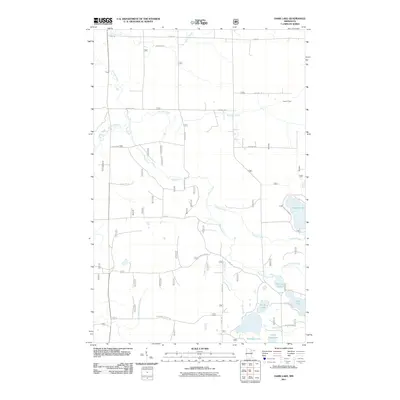
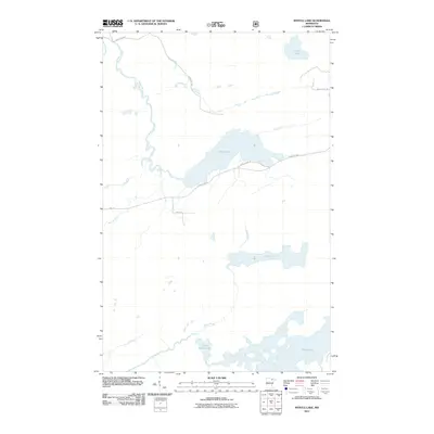
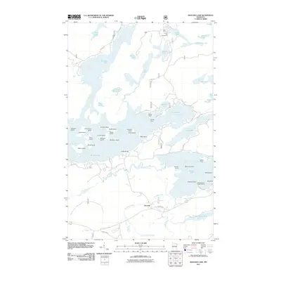
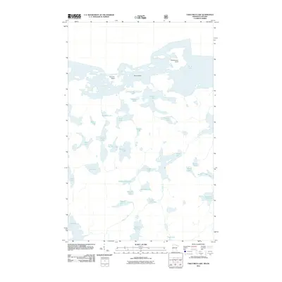
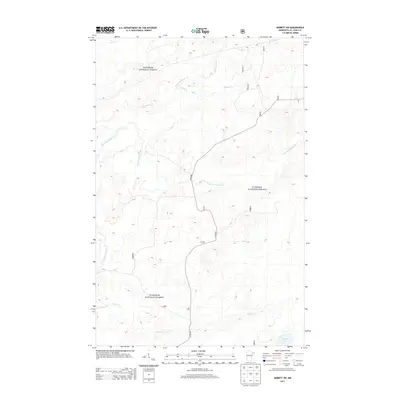
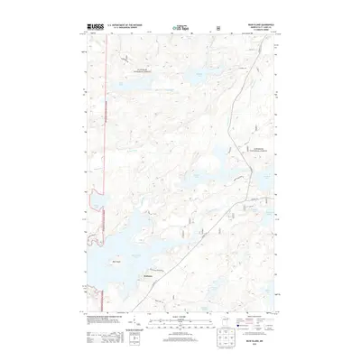
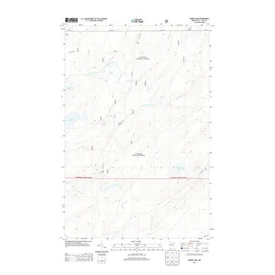
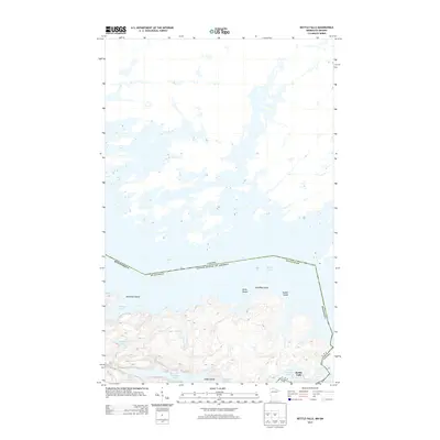
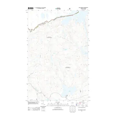
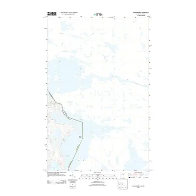
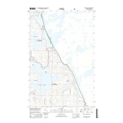
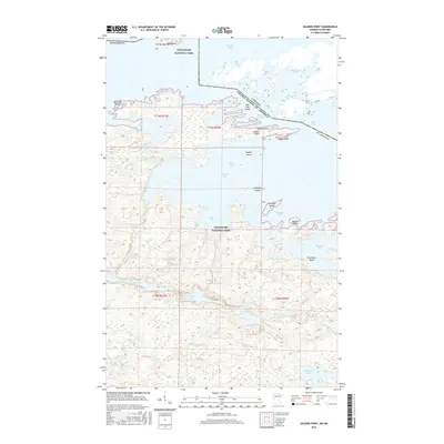
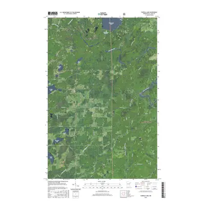
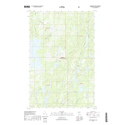
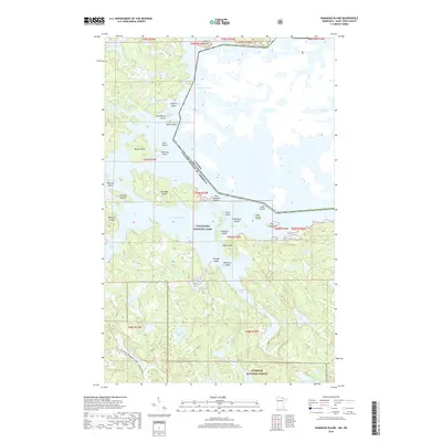
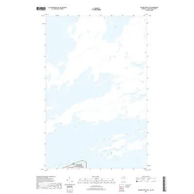
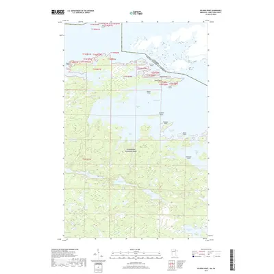
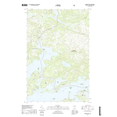
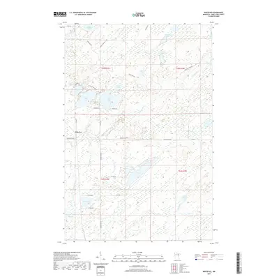
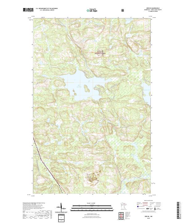
Birch Lake dominates the northern reaches of this landscape, its waters reaching into North Bay, Klobuchar Bay, and Bob Bay. This 1950s survey, with 1960s revisions, reveals an industrial frontier where the natural terrain of the Minnesota State Forest meets large-scale extraction. Significant Mine Dumps and a Quarry signal the region's mining activity, while the Erie Mining Company Railroad provides the critical infrastructure for moving resources through the dense woods of the Superior National Forest.
Find a feature on this map
22 named features on this map. Tap any name to fly to it.
Don’t see what you’re looking for? This feature index may not catch every label — zoom into the map to look around manually.
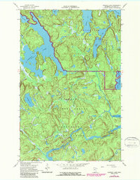
Map Details
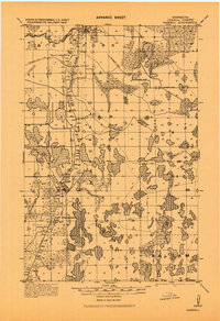
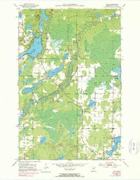
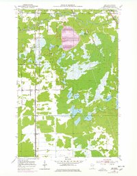
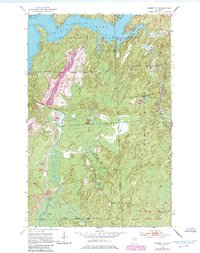
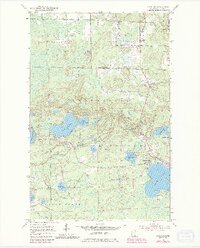
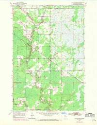
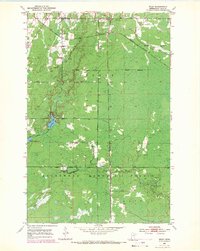
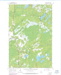
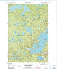
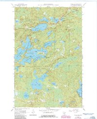
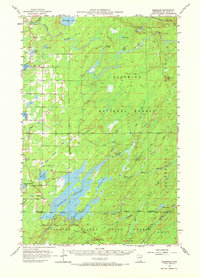
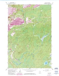
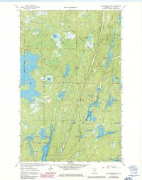
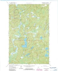
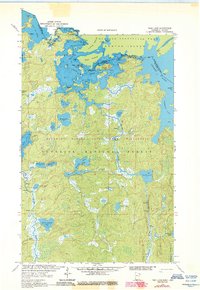
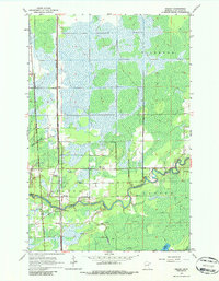
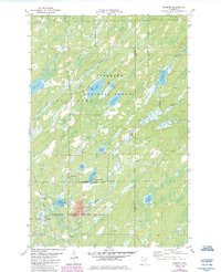
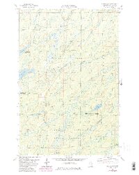
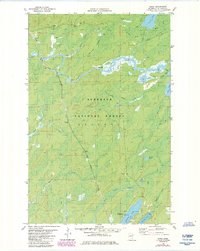
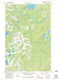
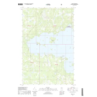
Editions of this 1952 Babbitt NE Map
6 editions found
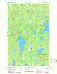
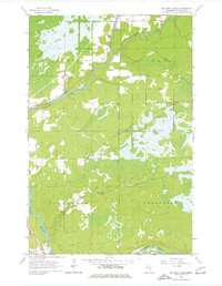
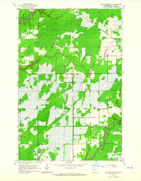
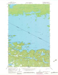
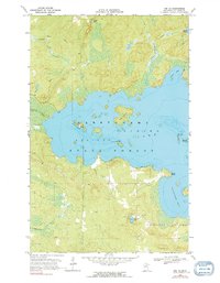
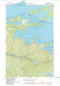
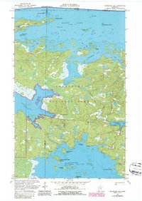
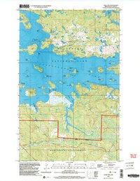
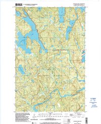
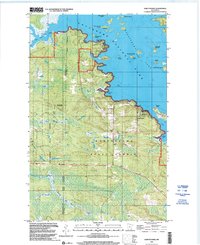
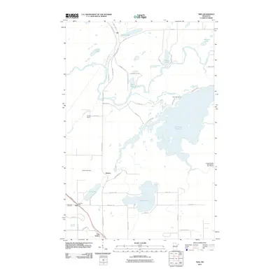
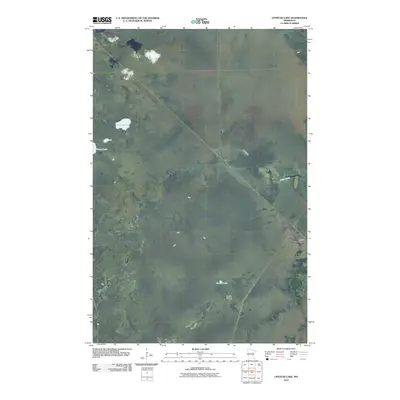
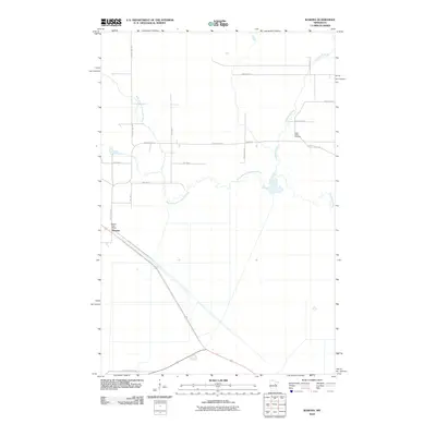
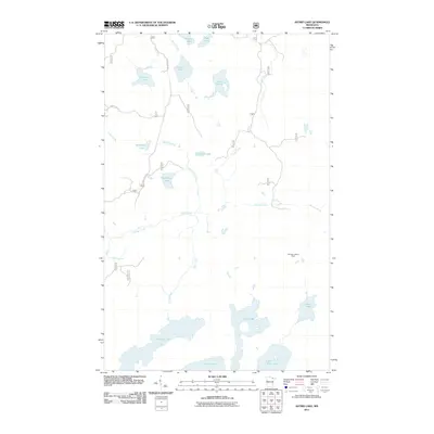
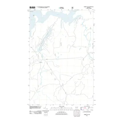
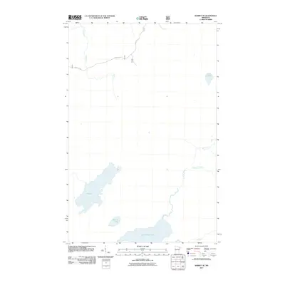
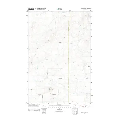
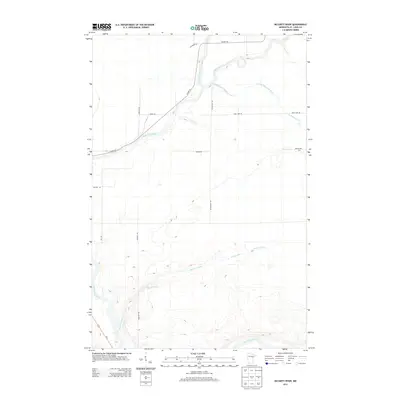
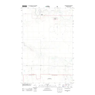
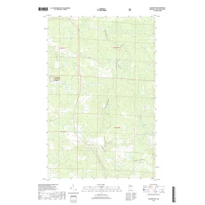
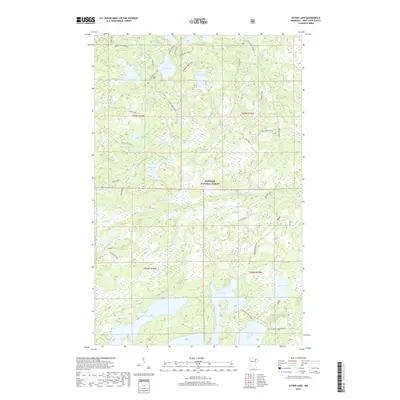
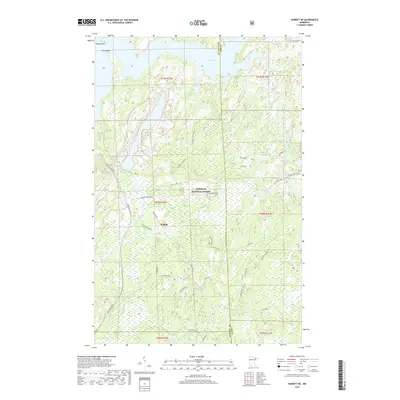
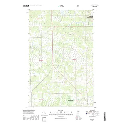
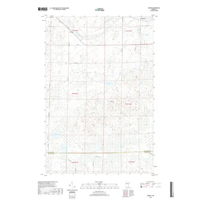
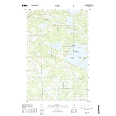
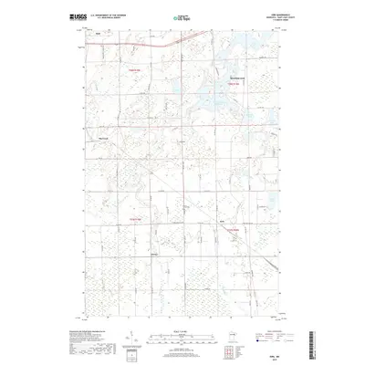
Historical Maps of Babbitt Through Time
823 maps found
1919 Marcell
St. Louis County, MN

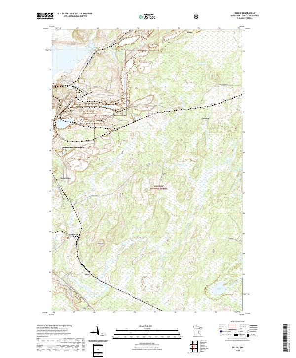
1949 Allen
St. Louis County, MN
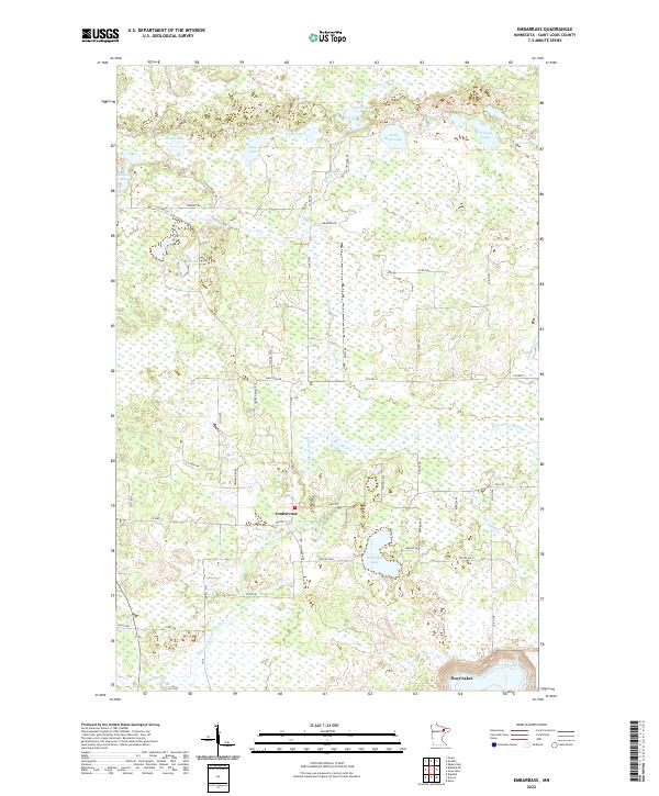
1949 Embarrass
St. Louis County, MN
1949 Isaac Lake
St. Louis County, MN
1950 Allen
St. Louis County, MN
1950 Biwabik NE
St. Louis County, MN
1950 Biwabik NW
St. Louis County, MN

1950 Embarrass
St. Louis County, MN
1950 Isaac Lake
St. Louis County, MN
1950 Mc Kinley
St. Louis County, MN
1951 Babbitt SW
St. Louis County, MN
1951 Biwabik NE
St. Louis County, MN
1951 Biwabik NW
St. Louis County, MN
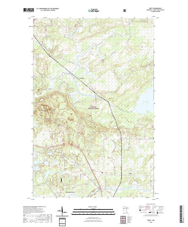
1951 Britt
St. Louis County, MN
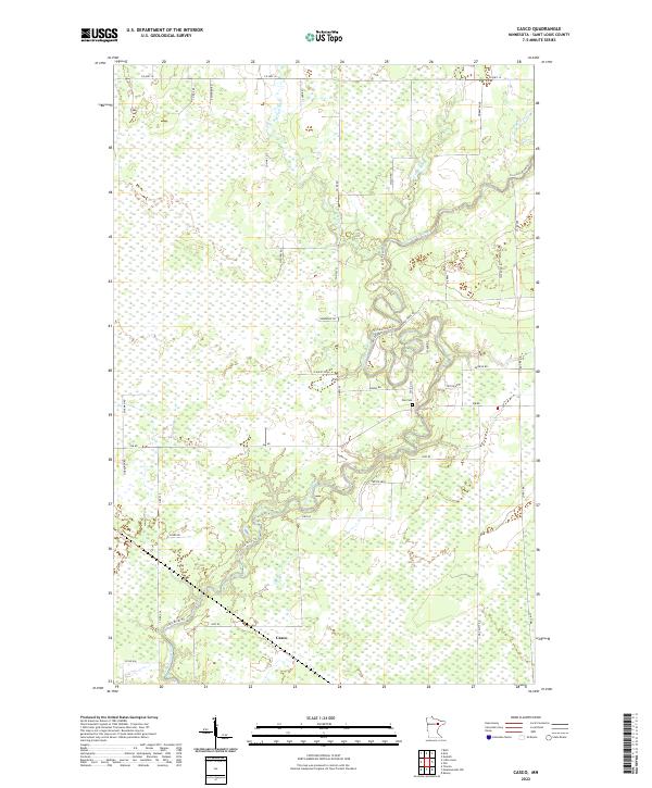
1951 Casco
St. Louis County, MN
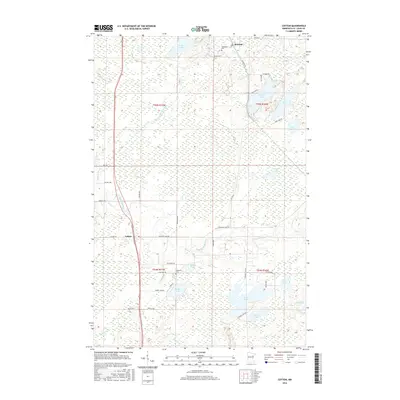
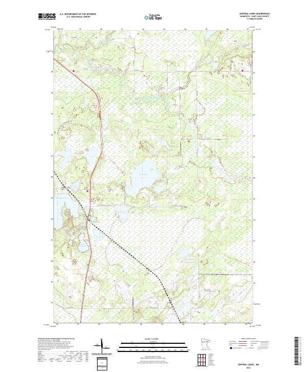
1951 Central Lakes
St. Louis County, MN
1951 Kirk
St. Louis County, MN
1951 Makinen
St. Louis County, MN

1951 Mc Kinley
St. Louis County, MN
1951 Palo
St. Louis County, MN
1951 Zim
St. Louis County, MN
1952 Babbitt NE
St. Louis County, MN
1952 Babbitt SE
St. Louis County, MN
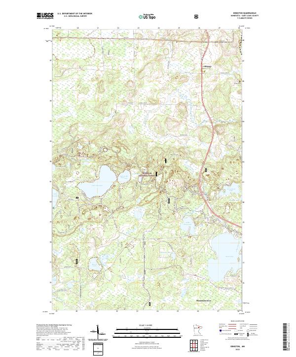
1952 Idington
St. Louis County, MN
1952 Little Swan
St. Louis County, MN
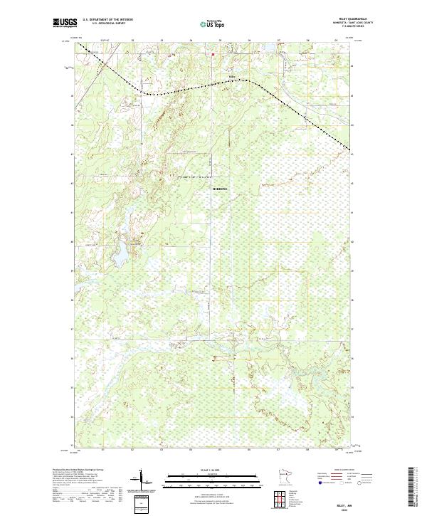
1952 Riley
St. Louis County, MN
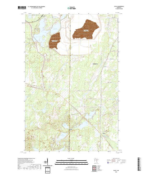
1952 Silica
St. Louis County, MN
1953 Adolph
St. Louis County, MN
1953 Alborn
St. Louis County, MN
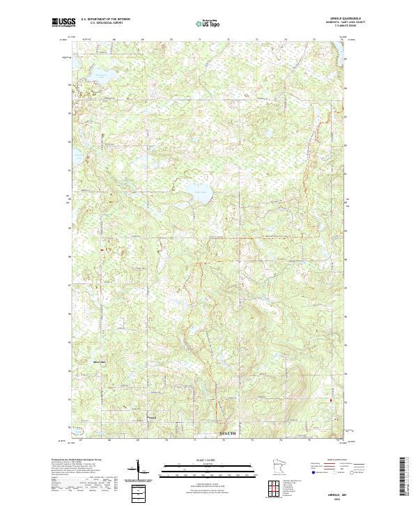
1953 Arnold
St. Louis County, MN
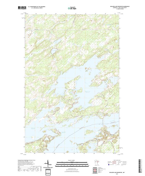
1953 Boulder Lake Reservoir
St. Louis County, MN
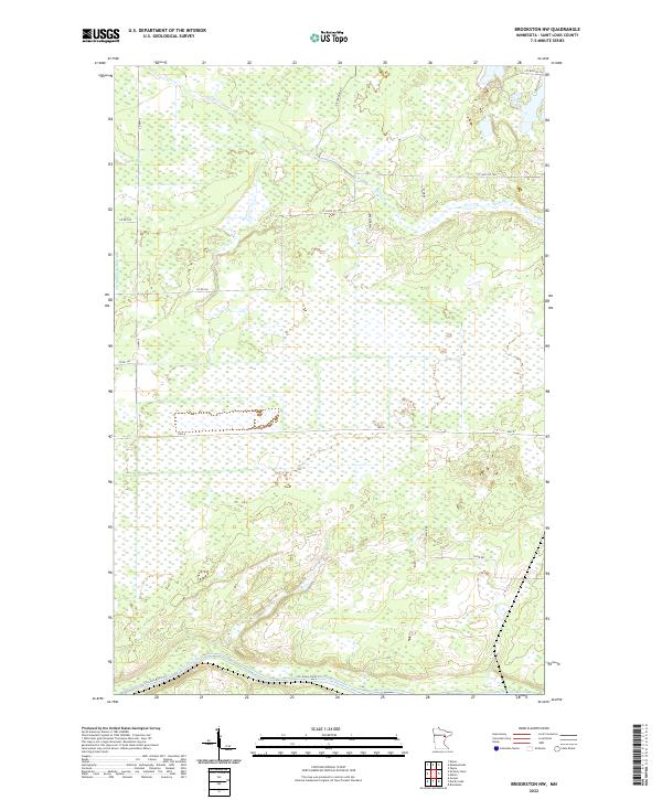
1953 Brookston NW
St. Louis County, MN
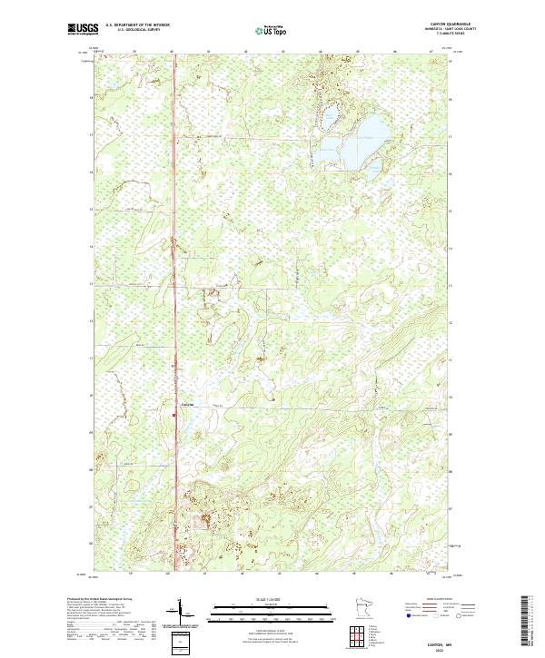
1953 Canyon
St. Louis County, MN
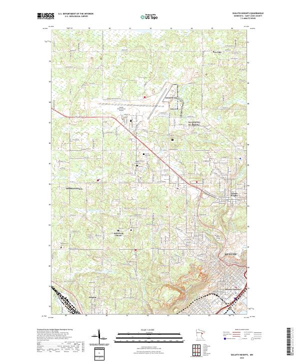
1953 Duluth Heights
St. Louis County, MN
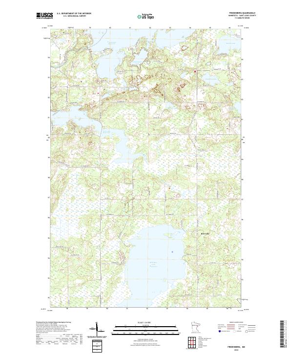
1953 Fredenberg
St. Louis County, MN
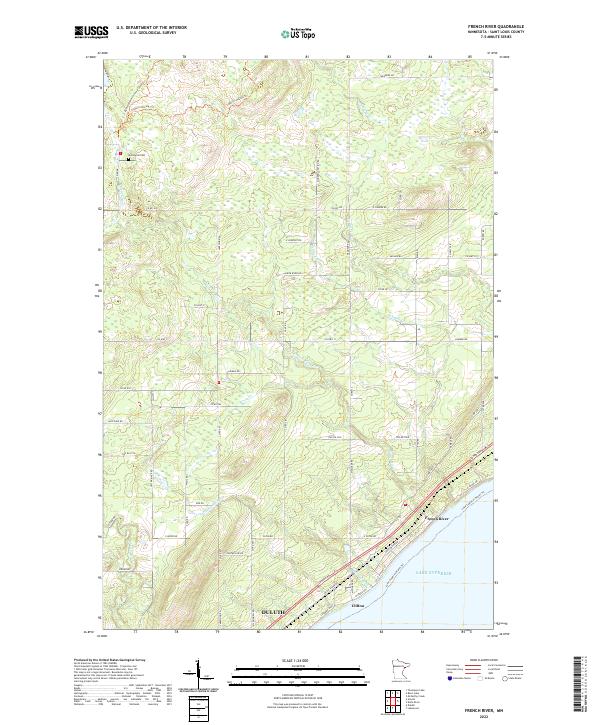
1953 French River
St. Louis County, MN
1953 Independence
St. Louis County, MN
1953 Lakewood
St. Louis County, MN

1953 Payne
St. Louis County, MN
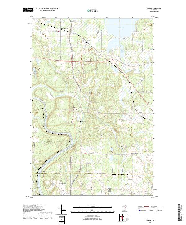
1953 Saginaw
St. Louis County, MN
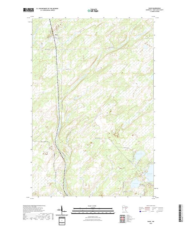
1953 Shaw
St. Louis County, MN
1953 Twig
St. Louis County, MN
1954 Barrs Lake
St. Louis County, MN
1954 Martin Lake
St. Louis County, MN
1954 Mc Carthy Creek
St. Louis County, MN
1954 Thompson Lake
St. Louis County, MN
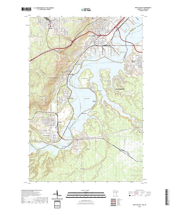
1954 West Duluth
St. Louis County, MN
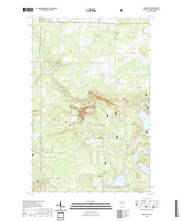
1955 Dark Lake
St. Louis County, MN
1955 Dewey Lake NW
St. Louis County, MN
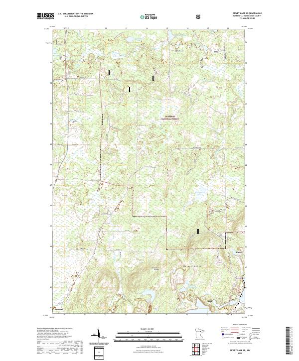
1955 Dewey Lake SE
St. Louis County, MN
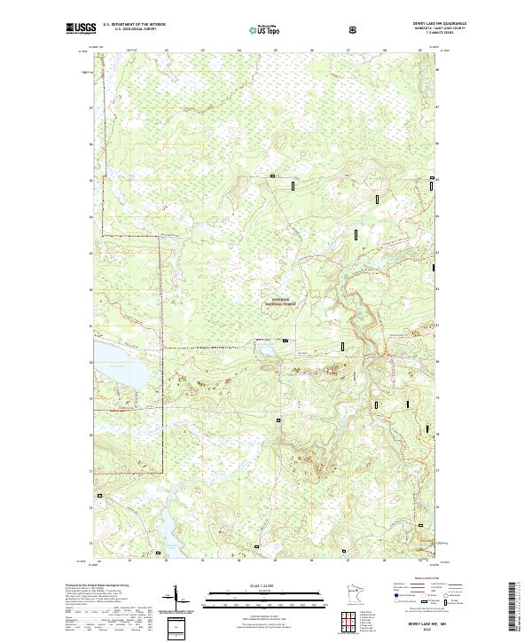
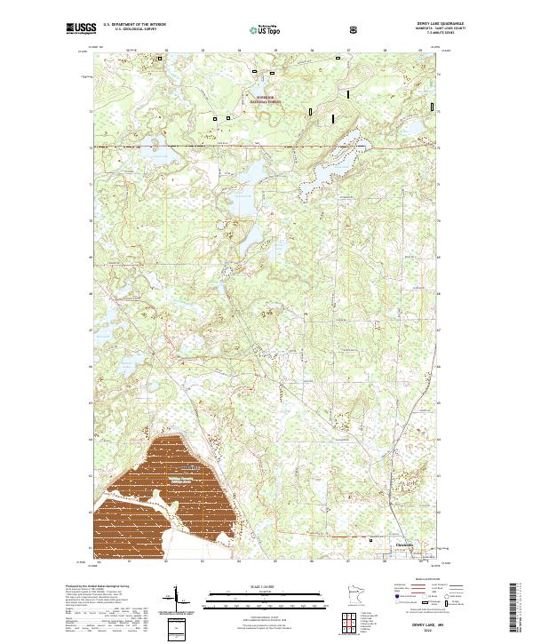
1955 Dewey Lake
St. Louis County, MN
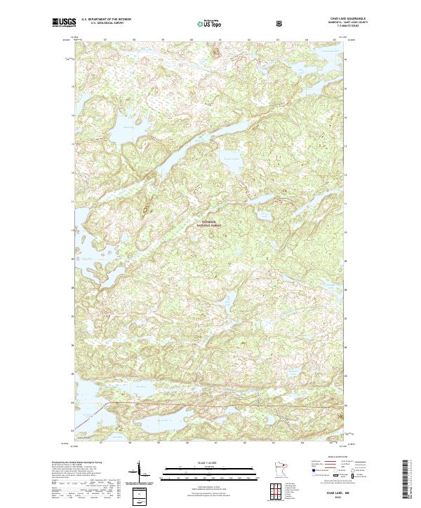
1956 Chad Lake
St. Louis County, MN
1956 Cotton
St. Louis County, MN
1956 Crab Lake
St. Louis County, MN
1956 Eagles Nest
St. Louis County, MN
1956 King Lake
St. Louis County, MN
1956 Lost Lake
St. Louis County, MN
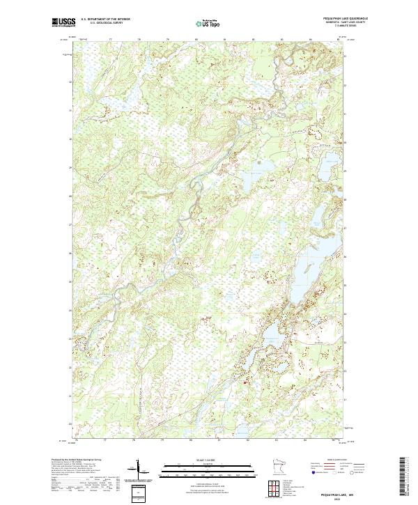
1956 Pequaywan Lake
St. Louis County, MN
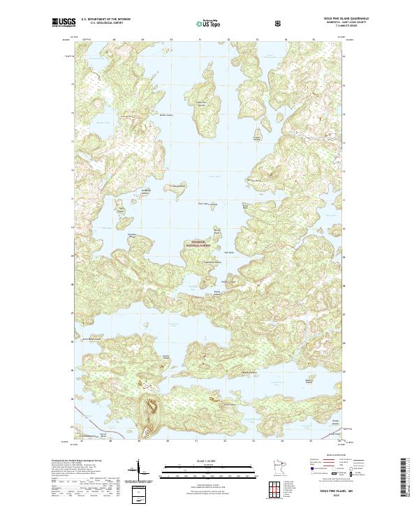
1956 Sioux Pine Island
St. Louis County, MN
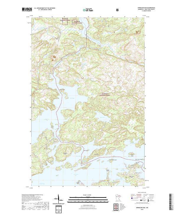
1956 Vermilion Dam
St. Louis County, MN
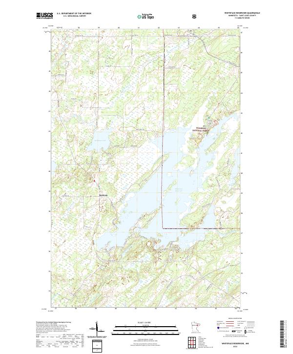
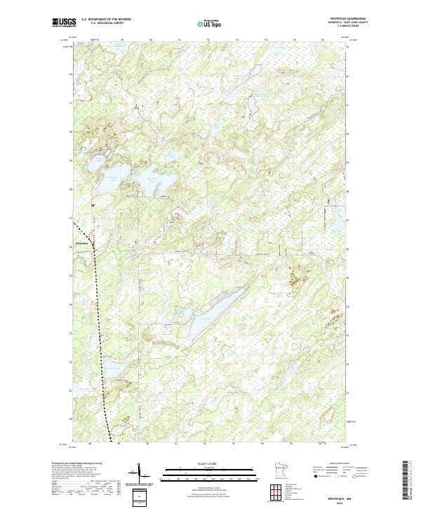
1956 Whiteface
St. Louis County, MN
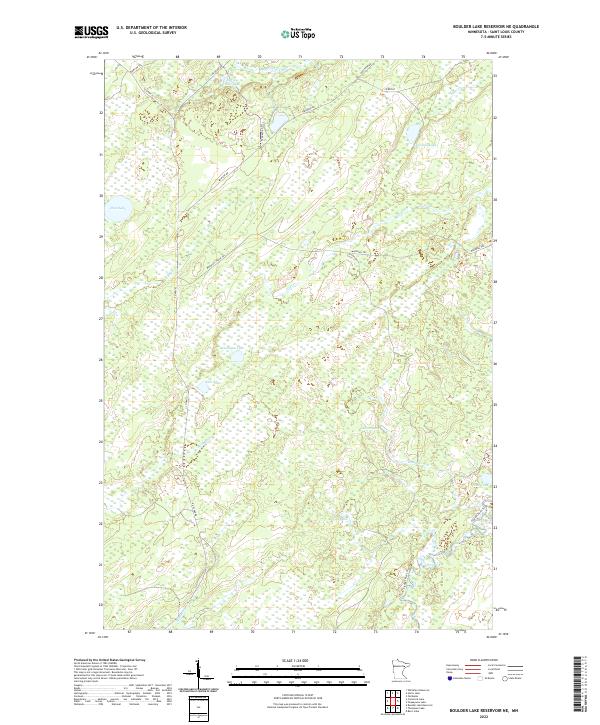
1957 Boulder Lake Reservoir NE
St. Louis County, MN
1957 Brimson
St. Louis County, MN
1957 Comstock Lake
St. Louis County, MN
1957 Markham
St. Louis County, MN
1962 Allen
St. Louis County, MN
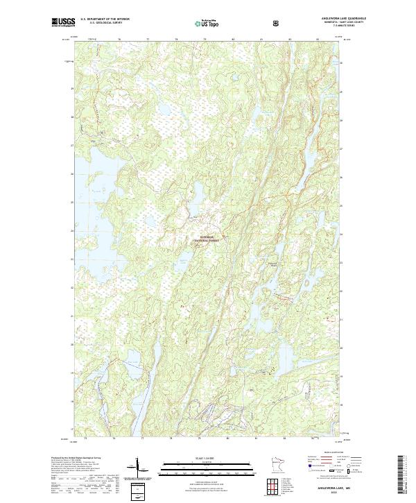
1963 Angleworm Lake
St. Louis County, MN
1963 Astrid Lake
St. Louis County, MN
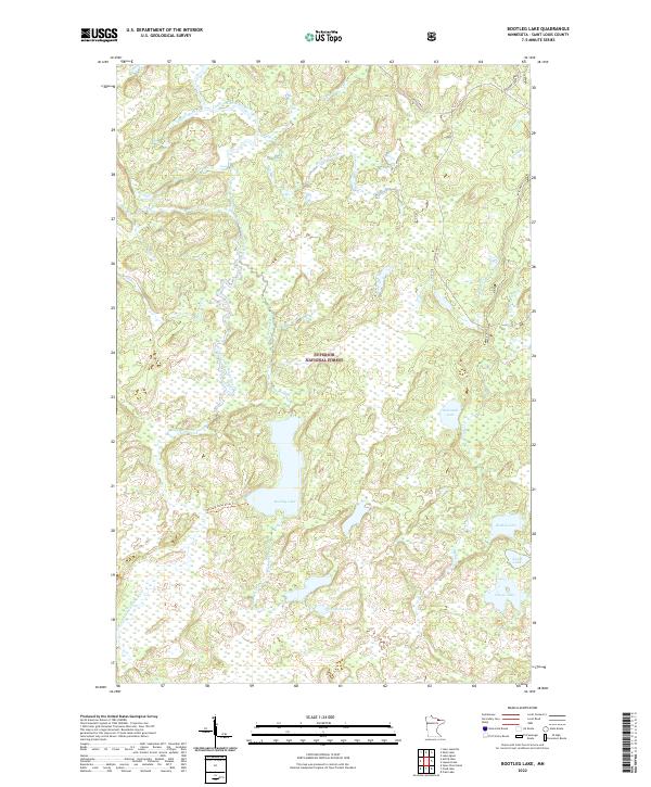
1963 Bootleg Lake
St. Louis County, MN
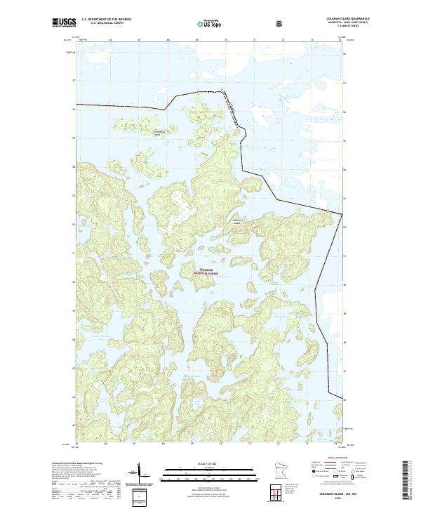
1963 Coleman Island
St. Louis County, MN
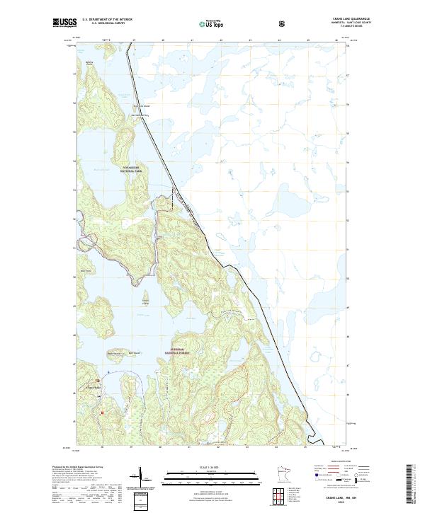
1963 Crane Lake
St. Louis County, MN
1963 Echo Lake
St. Louis County, MN
1963 Elmer
St. Louis County, MN
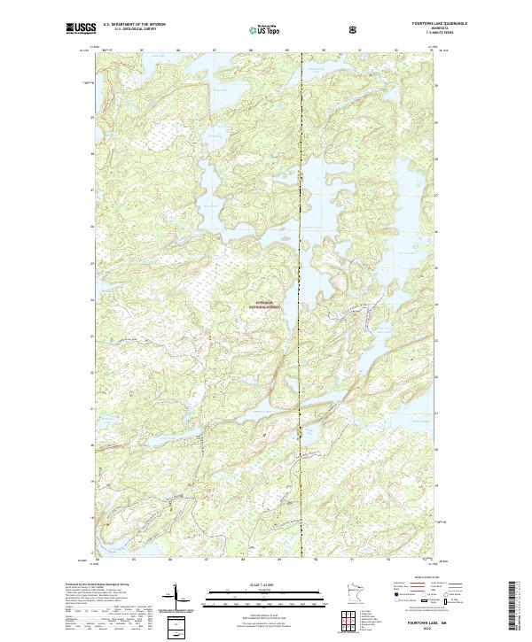
1963 Fourtown Lake
St. Louis County, MN
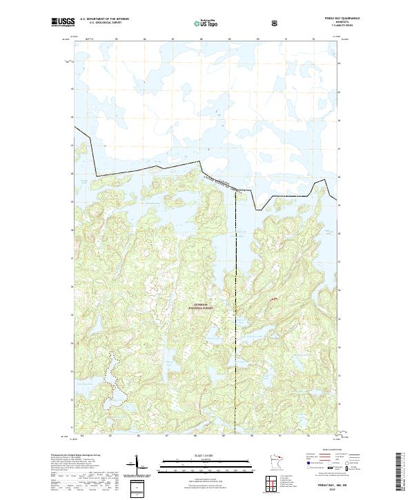
1963 Friday Bay
St. Louis County, MN
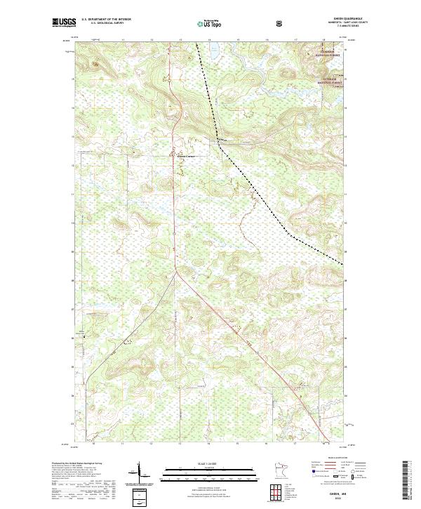
1963 Gowan
St. Louis County, MN
1963 Iron Lake
St. Louis County, MN
1963 Kelsey
St. Louis County, MN
1963 Lake Agnes
St. Louis County, MN
1963 Lake Jeanette
St. Louis County, MN
1963 Lapond Lake
St. Louis County, MN
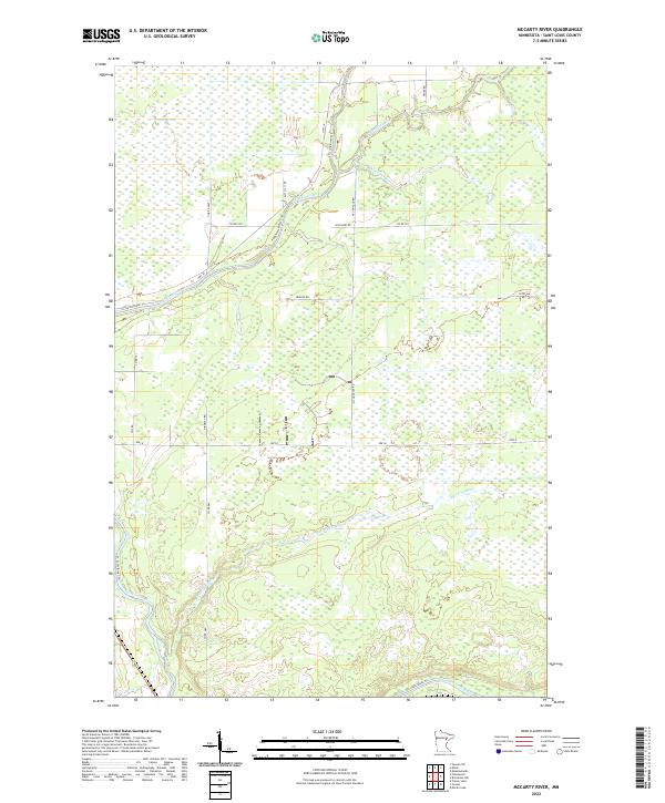
1963 Mc Carty River
St. Louis County, MN
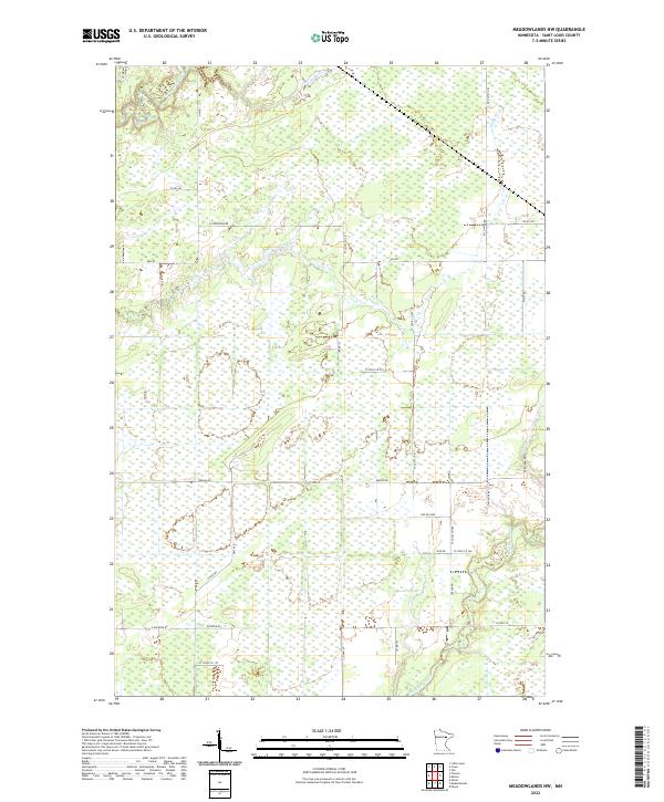
1963 Meadowlands NW
St. Louis County, MN
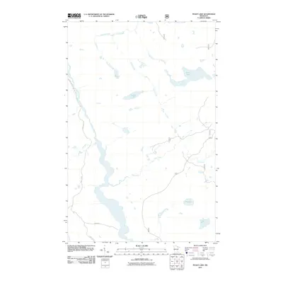
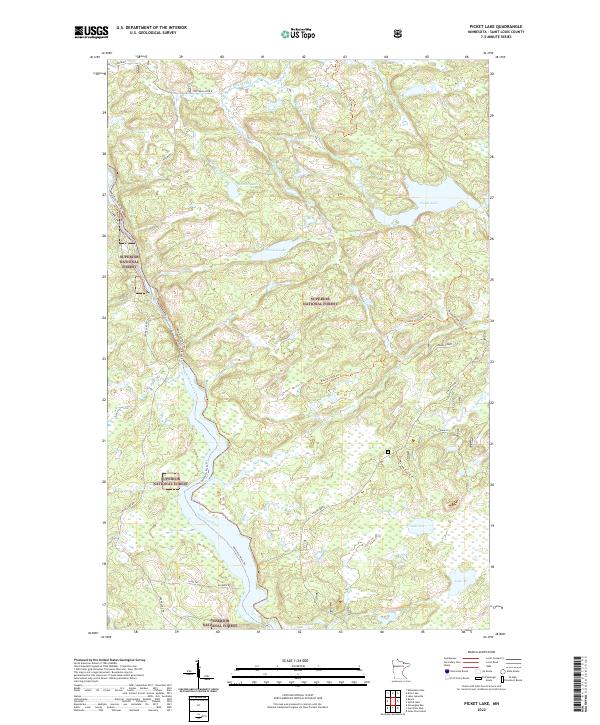
1963 Picket Lake
St. Louis County, MN
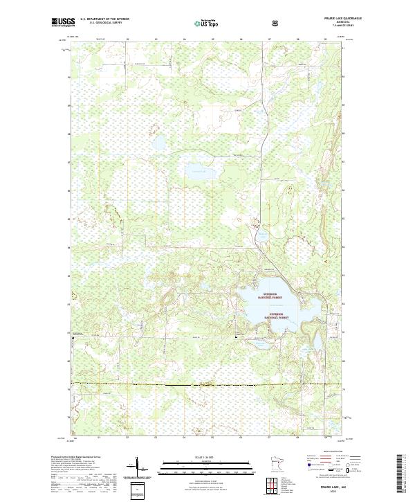
1963 Prairie Lake
St. Louis County, MN
1963 Redhorse Bay
St. Louis County, MN
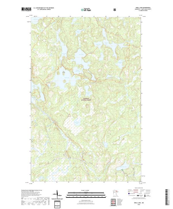
1963 Shell Lake
St. Louis County, MN
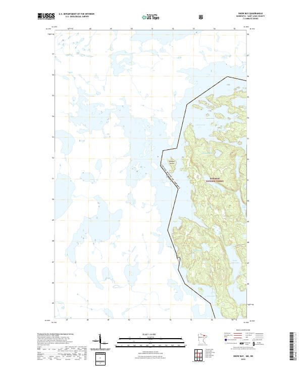
1963 Snow Bay
St. Louis County, MN
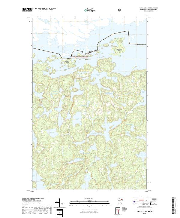
1963 Takucmich Lake
St. Louis County, MN
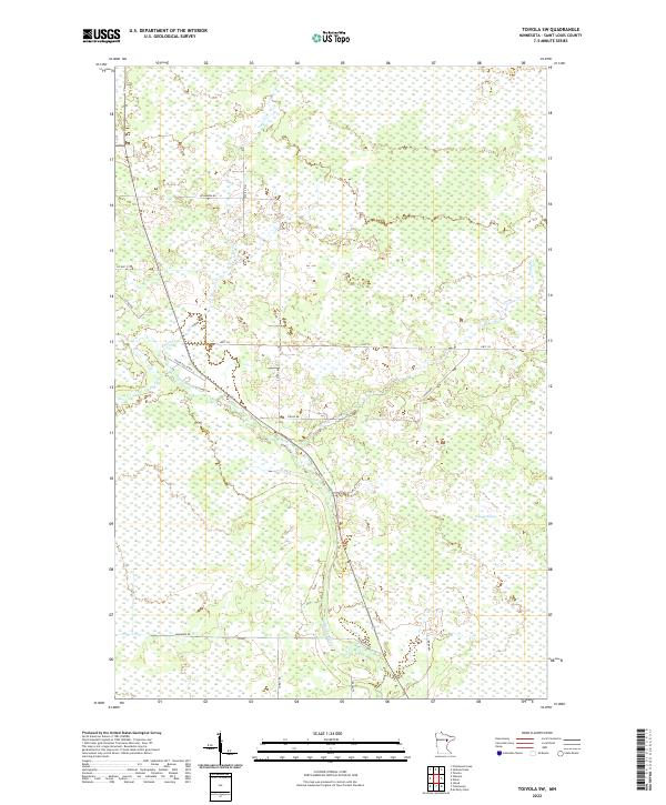
1963 Toivola
St. Louis County, MN
1963 Toivola SW
St. Louis County, MN
1963 Upstead Lake
St. Louis County, MN
1964 Comstock Lake
St. Louis County, MN
1964 Gheen NW
St. Louis County, MN
1964 Gheen
St. Louis County, MN
1964 Haley
St. Louis County, MN
1964 Linden Grove
St. Louis County, MN
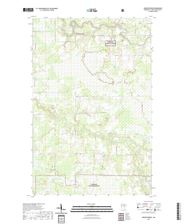
1964 Meadow Brook
St. Louis County, MN
1964 Norwegian Bay
St. Louis County, MN
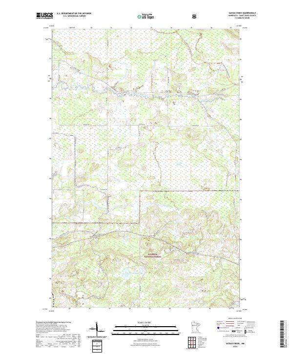
1964 Sassas Creek
St. Louis County, MN
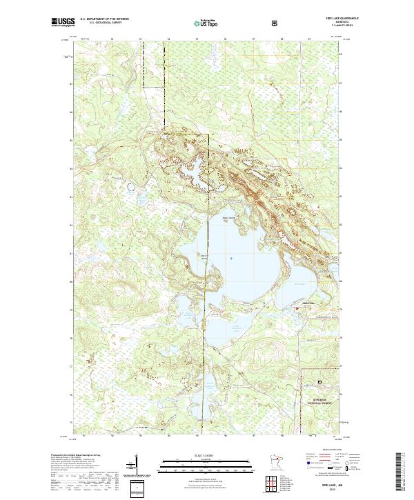
1964 Side Lake
St. Louis County, MN
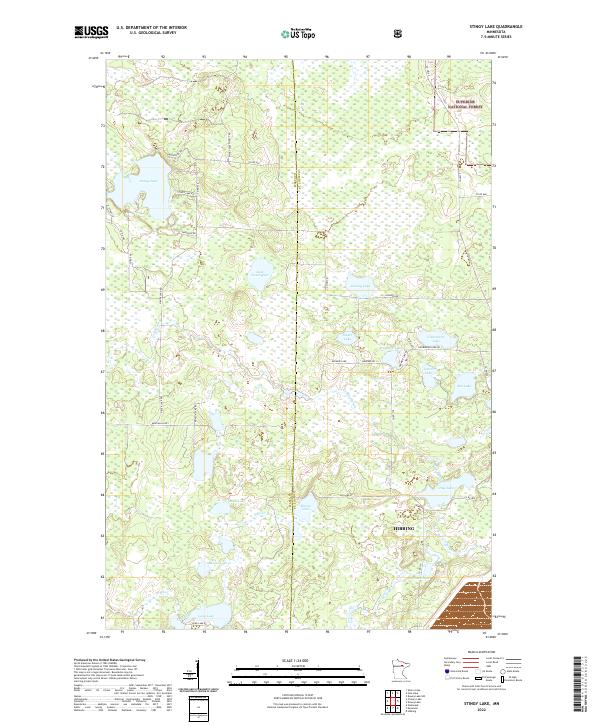
1964 Stingy Lake
St. Louis County, MN
1965 Bear Island
St. Louis County, MN
1965 Kangas Bay
St. Louis County, MN
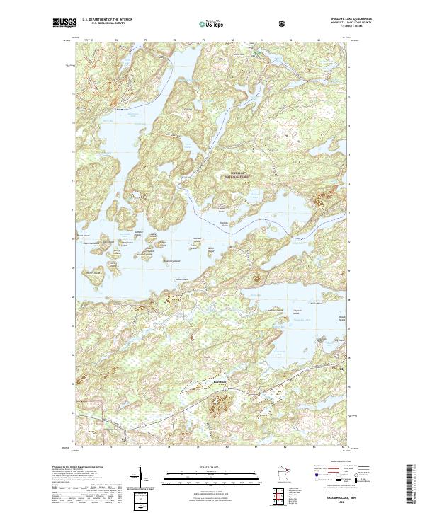
1965 Shagawa Lake
St. Louis County, MN
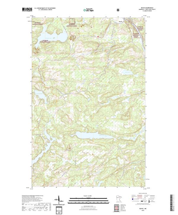
1967 Buyck
St. Louis County, MN
1967 Elephant Lake
St. Louis County, MN
1967 Hale Bay
St. Louis County, MN
1967 Johnson Lake
St. Louis County, MN
1967 Kabustasa Lake
St. Louis County, MN
1967 Kempton Bay
St. Louis County, MN
1967 Kettle Falls
St. Louis County, MN
1967 Marion Lake
St. Louis County, MN
1967 Namakan Island
St. Louis County, MN
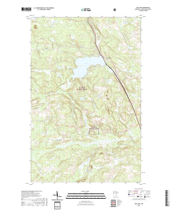
1968 Ash Lake
St. Louis County, MN
1968 Ash River NE
St. Louis County, MN
1968 Ash River SE
St. Louis County, MN
1968 Ash River SW
St. Louis County, MN

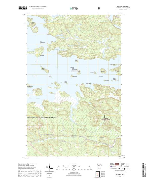
1968 Daley Bay
St. Louis County, MN
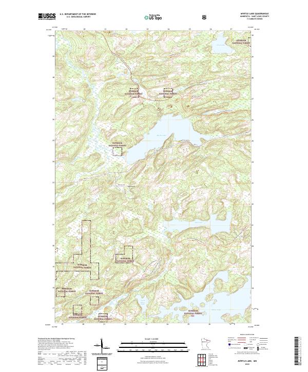
1968 Myrtle Lake
St. Louis County, MN
1968 Orr NE
St. Louis County, MN
1968 Orr SW
St. Louis County, MN
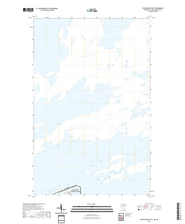
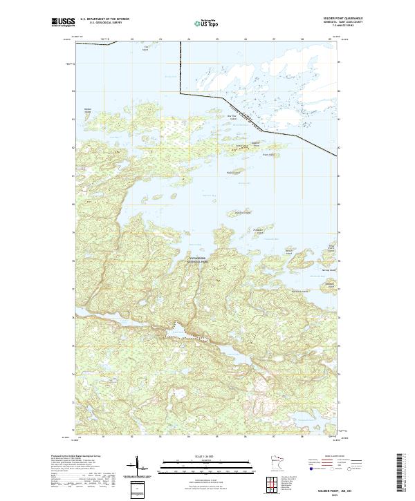
1968 Soldier Point
St. Louis County, MN
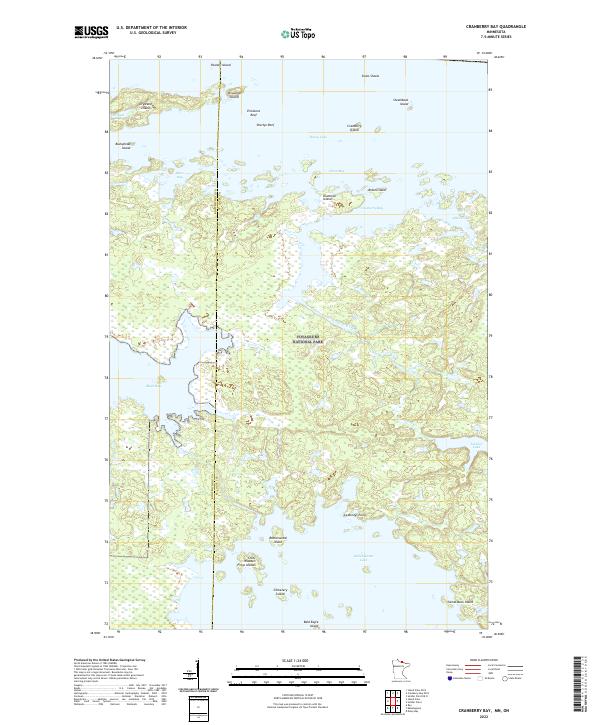
1969 Cranberry Bay
St. Louis County, MN
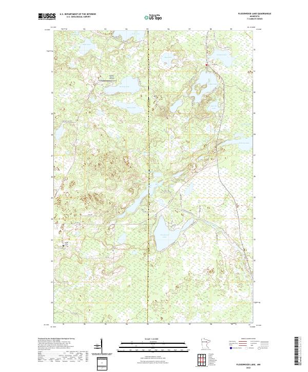
1969 Floodwood Lake
St. Louis County, MN
1969 Kabetogama
St. Louis County, MN
1969 Nett Lake NE
St. Louis County, MN
1969 Nett Lake
St. Louis County, MN
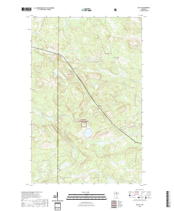
1969 Ray SE
St. Louis County, MN
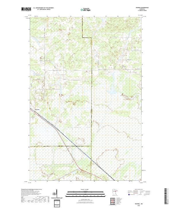
1969 Wawina
St. Louis County, MN
1970 Bear River
St. Louis County, MN
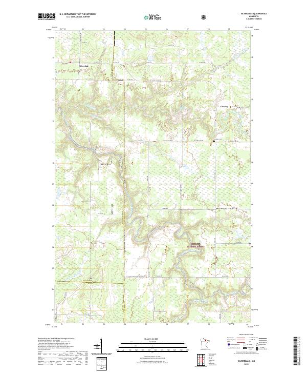
1970 Silverdale
St. Louis County, MN
1976 Brimson NW
St. Louis County, MN
1976 Brimson SW
St. Louis County, MN
1976 Markham NE
St. Louis County, MN
1976 Markham NW
St. Louis County, MN
1976 Markham SE
St. Louis County, MN
1976 Markham SW
St. Louis County, MN
1978 Brule Narrows
St. Louis County, MN
1978 Crane Lake
St. Louis County, MN
1981 Bird Lake
St. Louis County, MN
1981 Brimson
St. Louis County, MN
1981 Harris Lake
St. Louis County, MN
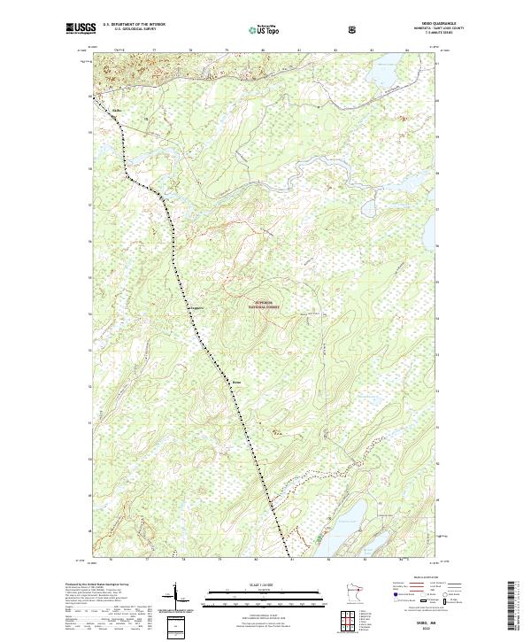
1981 Skibo
St. Louis County, MN
1981 Toimi
St. Louis County, MN
1981 Turpela Lake
St. Louis County, MN
1981 Whiteface Reservoir
St. Louis County, MN
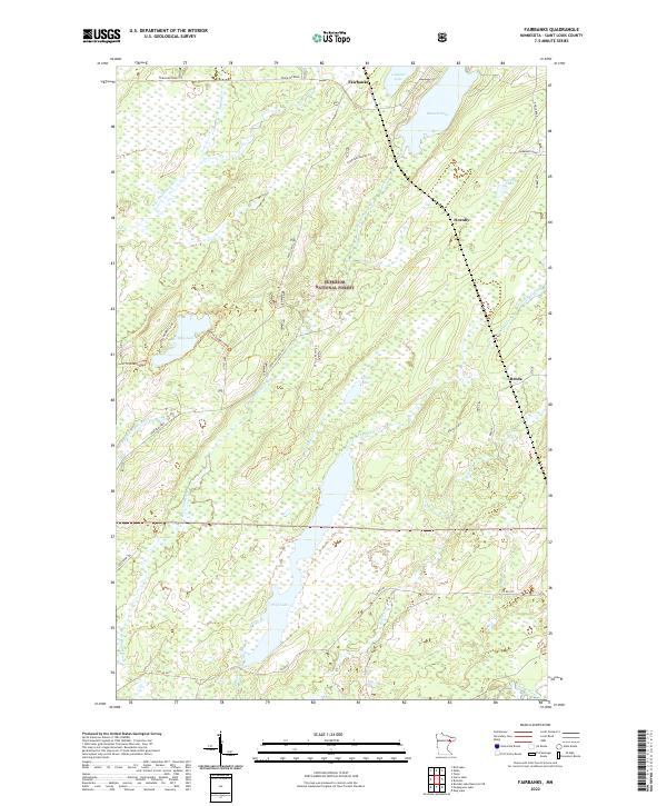
1982 Fairbanks
St. Louis County, MN
1992 French River
St. Louis County, MN
1992 Lakewood
St. Louis County, MN

1994 Vermillion Lake
St. Louis County, MN
1997 West Duluth
St. Louis County, MN
1999 Ash River NE
St. Louis County, MN
1999 Ash River SE
St. Louis County, MN
1999 Ash River SW
St. Louis County, MN
1999 Blind Pig Island
St. Louis County, MN
1999 Cranberry Bay
St. Louis County, MN
1999 Crane Lake
St. Louis County, MN
1999 Daley Bay
St. Louis County, MN
1999 Johnson Lake
St. Louis County, MN
1999 Kabetogama
St. Louis County, MN
1999 Kempton Bay
St. Louis County, MN
1999 Kettle Falls
St. Louis County, MN
1999 Marion Lake
St. Louis County, MN
1999 Namakan Island
St. Louis County, MN
1999 Ray SE
St. Louis County, MN
1999 Soldier Point
St. Louis County, MN
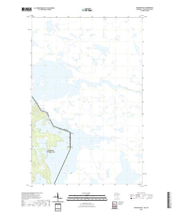
1999 Swansons Bay
St. Louis County, MN
2010 Adolph
St. Louis County, MN
2010 Alborn
St. Louis County, MN
2010 Arnold
St. Louis County, MN
2010 Barrs Lake
St. Louis County, MN
2010 Bear River
St. Louis County, MN
2010 Boulder Lake Reservoir NE
St. Louis County, MN
2010 Boulder Lake Reservoir
St. Louis County, MN
2010 Brookston NW
St. Louis County, MN
2010 Canyon
St. Louis County, MN
2010 Casco
St. Louis County, MN
2010 Central Lakes
St. Louis County, MN
2010 Comstock Lake
St. Louis County, MN
2010 Cotton
St. Louis County, MN
2010 Cranberry Bay
St. Louis County, MN
2010 Duluth Heights
St. Louis County, MN
2010 Elmer
St. Louis County, MN
2010 Embarrass
St. Louis County, MN
2010 Floodwood Lake
St. Louis County, MN
2010 Fredenberg
St. Louis County, MN
2010 French River
St. Louis County, MN
2010 Gheen NW
St. Louis County, MN
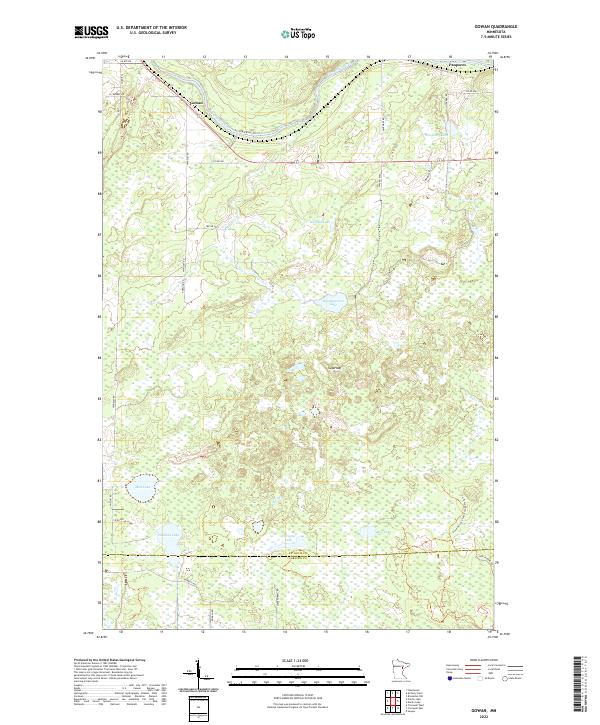
2010 Gowan
St. Louis County, MN
2010 Independence
St. Louis County, MN
2010 Kelsey
St. Louis County, MN
2010 Kempton Bay
St. Louis County, MN
2010 King Lake
St. Louis County, MN
2010 Kirk
St. Louis County, MN
2010 Lakewood
St. Louis County, MN
2010 Little Swan
St. Louis County, MN
2010 Makinen
St. Louis County, MN
2010 Martin Lake
St. Louis County, MN
2010 McCarthy Creek
St. Louis County, MN
2010 McCarty River
St. Louis County, MN
2010 Meadowlands NW
St. Louis County, MN
2010 Nett Lake
St. Louis County, MN
2010 Norwegian Bay
St. Louis County, MN
2010 Orr SW
St. Louis County, MN
2010 Palo
St. Louis County, MN
2010 Payne
St. Louis County, MN
2010 Pequaywan Lake
St. Louis County, MN
2010 Prairie Lake
St. Louis County, MN
2010 Riley
St. Louis County, MN
2010 Saginaw
St. Louis County, MN
2010 Shaw
St. Louis County, MN
2010 Silica
St. Louis County, MN
2010 Silverdale
St. Louis County, MN
2010 Swansons Bay
St. Louis County, MN
2010 Thompson Lake
St. Louis County, MN
2010 Toivola
St. Louis County, MN
2010 Toivola SW
St. Louis County, MN
2010 Twig
St. Louis County, MN
2010 Upstead Lake
St. Louis County, MN
2010 Wawina
St. Louis County, MN
2010 West Duluth
St. Louis County, MN
2010 Whiteface
St. Louis County, MN
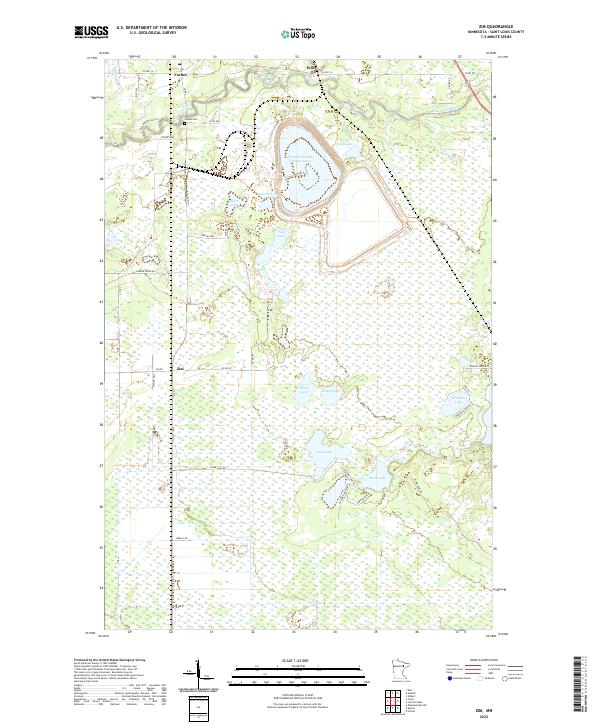
2010 Zim
St. Louis County, MN
2011 Allen
St. Louis County, MN
2011 Angleworm Lake
St. Louis County, MN
2011 Ash Lake
St. Louis County, MN
2011 Ash River NE
St. Louis County, MN
2011 Ash River SE
St. Louis County, MN
2011 Ash River SW
St. Louis County, MN
2011 Astrid Lake
St. Louis County, MN
2011 Babbitt NE
St. Louis County, MN
2011 Babbitt SE
St. Louis County, MN
2011 Babbitt SW
St. Louis County, MN
2011 Bear Island
St. Louis County, MN
2011 Bird Lake
St. Louis County, MN
2011 Biwabik NE
St. Louis County, MN
2011 Biwabik NW
St. Louis County, MN
2011 Blind Pig Island
St. Louis County, MN
2011 Bootleg Lake
St. Louis County, MN
2011 Brimson
St. Louis County, MN
2011 Britt
St. Louis County, MN
2011 Buyck
St. Louis County, MN
2011 Chad Lake
St. Louis County, MN
2011 Coleman Island
St. Louis County, MN
2011 Crab Lake
St. Louis County, MN
2011 Cranberry Bay OE N
St. Louis County, MN
2011 Crane Lake
St. Louis County, MN
2011 Daley Bay
St. Louis County, MN
2011 Dark Lake
St. Louis County, MN

2011 Dewey Lake NW
St. Louis County, MN
2011 Dewey Lake SE
St. Louis County, MN
2011 Dewey Lake
St. Louis County, MN
2011 Eagles Nest
St. Louis County, MN
2011 Echo Lake
St. Louis County, MN
2011 Elephant Lake
St. Louis County, MN
2011 Fairbanks
St. Louis County, MN
2011 Fourtown Lake
St. Louis County, MN
2011 Friday Bay
St. Louis County, MN
2011 Gheen
St. Louis County, MN
2011 Haley
St. Louis County, MN
2011 Harris Lake
St. Louis County, MN
2011 Idington
St. Louis County, MN
2011 Iron Lake OE N
St. Louis County, MN
2011 Iron Lake
St. Louis County, MN
2011 Isaac Lake
St. Louis County, MN
2011 Johnson Lake
St. Louis County, MN
2011 Kabetogama
St. Louis County, MN
2011 Kabustasa Lake
St. Louis County, MN
2011 Kangas Bay
St. Louis County, MN
2011 Kettle Falls
St. Louis County, MN
2011 Lake Agnes
St. Louis County, MN
2011 Lake Jeanette
St. Louis County, MN
2011 Lapond Lake
St. Louis County, MN
2011 Linden Grove
St. Louis County, MN
2011 Lost Lake
St. Louis County, MN
2011 Marion Lake
St. Louis County, MN
2011 Meadow Brook
St. Louis County, MN
2011 Myrtle Lake
St. Louis County, MN
2011 Namakan Island
St. Louis County, MN
2011 Nett Lake NE
St. Louis County, MN
2011 Orr NE
St. Louis County, MN
2011 Picket Lake
St. Louis County, MN
2011 Ray SE
St. Louis County, MN
2011 Sassas Creek
St. Louis County, MN
2011 Shagawa Lake
St. Louis County, MN
2011 Shell Lake
St. Louis County, MN
2011 Side Lake
St. Louis County, MN
2011 Sioux Pine Island
St. Louis County, MN
2011 Skibo
St. Louis County, MN
2011 Snow Bay
St. Louis County, MN
2011 Soldier Point OE N
St. Louis County, MN
2011 Soldier Point
St. Louis County, MN
2011 Stingy Lake
St. Louis County, MN
2011 Takucmich Lake
St. Louis County, MN
2011 Toimi
St. Louis County, MN
2011 Turpela Lake
St. Louis County, MN
2011 Vermilion Dam
St. Louis County, MN
2011 Whiteface Reservoir
St. Louis County, MN
2013 Adolph
St. Louis County, MN
2013 Alborn
St. Louis County, MN
2013 Allen
St. Louis County, MN
2013 Angleworm Lake
St. Louis County, MN
2013 Arnold
St. Louis County, MN
2013 Ash Lake
St. Louis County, MN
2013 Ash River NE
St. Louis County, MN
2013 Ash River SE
St. Louis County, MN
2013 Ash River SW
St. Louis County, MN
2013 Astrid Lake
St. Louis County, MN
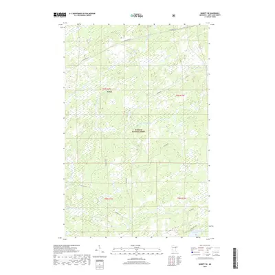
2013 Babbitt NE
St. Louis County, MN
2013 Babbitt SE
St. Louis County, MN
2013 Babbitt SW
St. Louis County, MN
2013 Barrs Lake
St. Louis County, MN
2013 Bear Island
St. Louis County, MN
2013 Bear River
St. Louis County, MN
2013 Bird Lake
St. Louis County, MN
2013 Biwabik NE
St. Louis County, MN
2013 Biwabik NW
St. Louis County, MN
2013 Blind Pig Island
St. Louis County, MN
2013 Bootleg Lake
St. Louis County, MN
2013 Boulder Lake Reservoir NE
St. Louis County, MN
2013 Boulder Lake Reservoir
St. Louis County, MN
2013 Brimson
St. Louis County, MN
2013 Britt
St. Louis County, MN
2013 Brookston NW
St. Louis County, MN
2013 Buyck
St. Louis County, MN
2013 Canyon
St. Louis County, MN
2013 Casco
St. Louis County, MN
2013 Central Lakes
St. Louis County, MN
2013 Chad Lake
St. Louis County, MN
2013 Coleman Island
St. Louis County, MN
2013 Comstock Lake
St. Louis County, MN
2013 Cotton
St. Louis County, MN
2013 Crab Lake
St. Louis County, MN
2013 Cranberry Bay OE N
St. Louis County, MN
2013 Cranberry Bay
St. Louis County, MN
2013 Crane Lake
St. Louis County, MN
2013 Daley Bay
St. Louis County, MN
2013 Dark Lake
St. Louis County, MN
2013 Dewey Lake NW
St. Louis County, MN
2013 Dewey Lake SE
St. Louis County, MN
2013 Dewey Lake
St. Louis County, MN
2013 Duluth Heights
St. Louis County, MN
2013 Eagles Nest
St. Louis County, MN
2013 Echo Lake
St. Louis County, MN
2013 Elephant Lake
St. Louis County, MN
2013 Elmer
St. Louis County, MN
2013 Embarrass
St. Louis County, MN
2013 Fairbanks
St. Louis County, MN
2013 Floodwood Lake
St. Louis County, MN
2013 Fourtown Lake
St. Louis County, MN
2013 Fredenberg
St. Louis County, MN
2013 French River
St. Louis County, MN
2013 Friday Bay
St. Louis County, MN
2013 Gheen NW
St. Louis County, MN
2013 Gheen
St. Louis County, MN
2013 Gowan
St. Louis County, MN
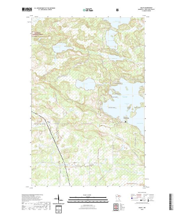
2013 Haley
St. Louis County, MN
2013 Harris Lake
St. Louis County, MN
2013 Idington
St. Louis County, MN
2013 Independence
St. Louis County, MN
2013 Iron Lake OE N
St. Louis County, MN
2013 Iron Lake
St. Louis County, MN
2013 Isaac Lake
St. Louis County, MN
2013 Johnson Lake
St. Louis County, MN
2013 Kabetogama
St. Louis County, MN
2013 Kabustasa Lake
St. Louis County, MN
2013 Kangas Bay
St. Louis County, MN
2013 Kelsey
St. Louis County, MN
2013 Kempton Bay
St. Louis County, MN
2013 Kettle Falls
St. Louis County, MN
2013 King Lake
St. Louis County, MN
2013 Kirk
St. Louis County, MN
2013 Lake Agnes
St. Louis County, MN
2013 Lake Jeanette
St. Louis County, MN
2013 Lakewood
St. Louis County, MN
2013 Lapond Lake
St. Louis County, MN
2013 Linden Grove
St. Louis County, MN
2013 Little Swan
St. Louis County, MN
2013 Lost Lake
St. Louis County, MN
2013 Makinen
St. Louis County, MN
2013 Marion Lake
St. Louis County, MN
2013 Martin Lake
St. Louis County, MN
2013 McCarthy Creek
St. Louis County, MN
2013 McCarty River
St. Louis County, MN
2013 Meadow Brook
St. Louis County, MN
2013 Meadowlands NW
St. Louis County, MN
2013 Myrtle Lake
St. Louis County, MN
2013 Namakan Island
St. Louis County, MN
2013 Nett Lake NE
St. Louis County, MN
2013 Nett Lake
St. Louis County, MN
2013 Norwegian Bay
St. Louis County, MN
2013 Orr NE
St. Louis County, MN
2013 Orr SW
St. Louis County, MN
2013 Palo
St. Louis County, MN
2013 Payne
St. Louis County, MN

2013 Pequaywan Lake
St. Louis County, MN
2013 Picket Lake
St. Louis County, MN
2013 Prairie Lake
St. Louis County, MN
2013 Ray SE
St. Louis County, MN
2013 Riley
St. Louis County, MN
2013 Saginaw
St. Louis County, MN
2013 Sassas Creek
St. Louis County, MN
2013 Shagawa Lake
St. Louis County, MN
2013 Shaw
St. Louis County, MN
2013 Shell Lake
St. Louis County, MN
2013 Side Lake
St. Louis County, MN
2013 Silica
St. Louis County, MN
2013 Silverdale
St. Louis County, MN
2013 Sioux Pine Island
St. Louis County, MN
2013 Skibo
St. Louis County, MN
2013 Snow Bay
St. Louis County, MN
2013 Soldier Point OE N
St. Louis County, MN
2013 Soldier Point
St. Louis County, MN
2013 Stingy Lake
St. Louis County, MN
2013 Swansons Bay
St. Louis County, MN
2013 Takucmich Lake
St. Louis County, MN
2013 Thompson Lake
St. Louis County, MN
2013 Toimi
St. Louis County, MN
2013 Toivola
St. Louis County, MN
2013 Toivola SW
St. Louis County, MN
2013 Turpela Lake
St. Louis County, MN
2013 Twig
St. Louis County, MN
2013 Upstead Lake
St. Louis County, MN
2013 Vermilion Dam
St. Louis County, MN
2013 Wawina
St. Louis County, MN
2013 West Duluth
St. Louis County, MN
2013 Whiteface Reservoir
St. Louis County, MN
2013 Whiteface
St. Louis County, MN
2013 Zim
St. Louis County, MN
2016 Adolph
St. Louis County, MN
2016 Alborn
St. Louis County, MN
2016 Allen
St. Louis County, MN
2016 Angleworm Lake
St. Louis County, MN
2016 Arnold
St. Louis County, MN
2016 Ash Lake
St. Louis County, MN
2016 Ash River NE
St. Louis County, MN
2016 Ash River SE
St. Louis County, MN
2016 Ash River SW
St. Louis County, MN
2016 Astrid Lake
St. Louis County, MN
2016 Babbitt NE
St. Louis County, MN
2016 Babbitt SE
St. Louis County, MN
2016 Babbitt SW
St. Louis County, MN
2016 Barrs Lake
St. Louis County, MN
2016 Bear Island
St. Louis County, MN
2016 Bear River
St. Louis County, MN
2016 Bird Lake
St. Louis County, MN
2016 Biwabik NE
St. Louis County, MN
2016 Biwabik NW
St. Louis County, MN
2016 Blind Pig Island
St. Louis County, MN
2016 Bootleg Lake
St. Louis County, MN
2016 Boulder Lake Reservoir NE
St. Louis County, MN
2016 Boulder Lake Reservoir
St. Louis County, MN
2016 Brimson
St. Louis County, MN
2016 Britt
St. Louis County, MN
2016 Brookston NW
St. Louis County, MN
2016 Buyck
St. Louis County, MN
2016 Canyon
St. Louis County, MN
2016 Casco
St. Louis County, MN
2016 Central Lakes
St. Louis County, MN
2016 Chad Lake
St. Louis County, MN
2016 Coleman Island
St. Louis County, MN
2016 Comstock Lake
St. Louis County, MN
2016 Cotton
St. Louis County, MN
2016 Crab Lake
St. Louis County, MN
2016 Cranberry Bay OE N
St. Louis County, MN
2016 Cranberry Bay
St. Louis County, MN
2016 Crane Lake
St. Louis County, MN
2016 Daley Bay
St. Louis County, MN
2016 Dark Lake
St. Louis County, MN

2016 Dewey Lake NW
St. Louis County, MN
2016 Dewey Lake SE
St. Louis County, MN
2016 Dewey Lake
St. Louis County, MN
2016 Duluth Heights
St. Louis County, MN
2016 Eagles Nest
St. Louis County, MN
2016 Echo Lake
St. Louis County, MN
2016 Elephant Lake
St. Louis County, MN
2016 Elmer
St. Louis County, MN
2016 Embarrass
St. Louis County, MN
2016 Fairbanks
St. Louis County, MN
2016 Floodwood Lake
St. Louis County, MN
2016 Fourtown Lake
St. Louis County, MN
2016 Fredenberg
St. Louis County, MN
2016 French River
St. Louis County, MN
2016 Friday Bay
St. Louis County, MN
2016 Gheen NW
St. Louis County, MN
2016 Gheen
St. Louis County, MN
2016 Gowan
St. Louis County, MN
2016 Haley
St. Louis County, MN
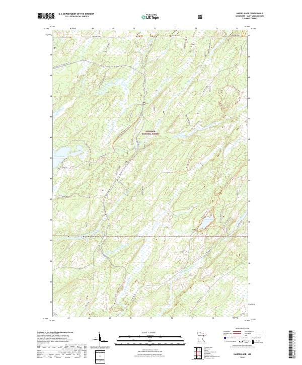
2016 Harris Lake
St. Louis County, MN
2016 Idington
St. Louis County, MN
2016 Independence
St. Louis County, MN
2016 Iron Lake OE N
St. Louis County, MN
2016 Iron Lake
St. Louis County, MN
2016 Isaac Lake
St. Louis County, MN
2016 Johnson Lake
St. Louis County, MN
2016 Kabetogama
St. Louis County, MN
2016 Kabustasa Lake
St. Louis County, MN
2016 Kangas Bay
St. Louis County, MN
2016 Kelsey
St. Louis County, MN
2016 Kempton Bay
St. Louis County, MN
2016 Kettle Falls
St. Louis County, MN
2016 King Lake
St. Louis County, MN
2016 Kirk
St. Louis County, MN
2016 Lake Agnes
St. Louis County, MN
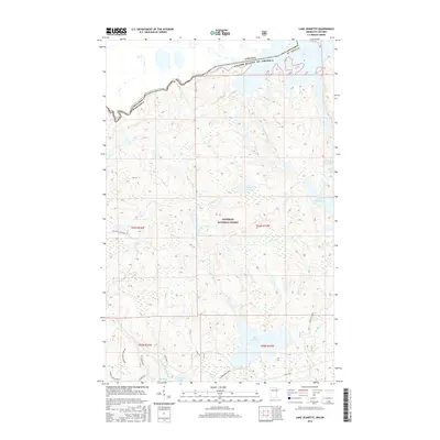
2016 Lake Jeanette
St. Louis County, MN
2016 Lakewood
St. Louis County, MN
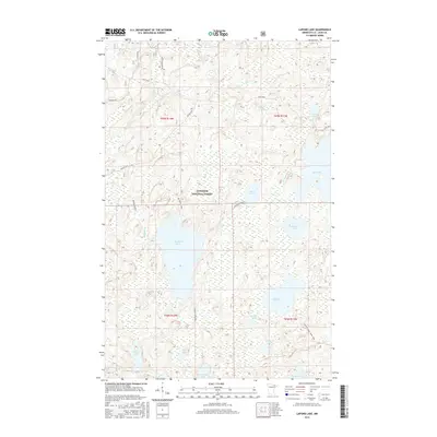
2016 Lapond Lake
St. Louis County, MN
2016 Linden Grove
St. Louis County, MN
2016 Little Swan
St. Louis County, MN
2016 Lost Lake
St. Louis County, MN
2016 Makinen
St. Louis County, MN
2016 Marion Lake
St. Louis County, MN
2016 Martin Lake
St. Louis County, MN
2016 McCarthy Creek
St. Louis County, MN
2016 McCarty River
St. Louis County, MN
2016 Meadow Brook
St. Louis County, MN
2016 Meadowlands NW
St. Louis County, MN
2016 Myrtle Lake
St. Louis County, MN
2016 Namakan Island
St. Louis County, MN
2016 Nett Lake NE
St. Louis County, MN
2016 Nett Lake
St. Louis County, MN
2016 Norwegian Bay
St. Louis County, MN
2016 Orr NE
St. Louis County, MN
2016 Orr SW
St. Louis County, MN
2016 Palo
St. Louis County, MN
2016 Payne
St. Louis County, MN
2016 Pequaywan Lake
St. Louis County, MN
2016 Picket Lake
St. Louis County, MN
2016 Prairie Lake
St. Louis County, MN
2016 Ray SE
St. Louis County, MN
2016 Riley
St. Louis County, MN
2016 Saginaw
St. Louis County, MN
2016 Sassas Creek
St. Louis County, MN
2016 Shagawa Lake
St. Louis County, MN
2016 Shaw
St. Louis County, MN
2016 Shell Lake
St. Louis County, MN
2016 Side Lake
St. Louis County, MN
2016 Silica
St. Louis County, MN
2016 Silverdale
St. Louis County, MN
2016 Sioux Pine Island
St. Louis County, MN
2016 Skibo
St. Louis County, MN
2016 Snow Bay
St. Louis County, MN
2016 Soldier Point OE N
St. Louis County, MN
2016 Soldier Point
St. Louis County, MN
2016 Stingy Lake
St. Louis County, MN
2016 Swansons Bay
St. Louis County, MN
2016 Takucmich Lake
St. Louis County, MN
2016 Thompson Lake
St. Louis County, MN
2016 Toimi
St. Louis County, MN
2016 Toivola
St. Louis County, MN
2016 Toivola SW
St. Louis County, MN
2016 Turpela Lake
St. Louis County, MN
2016 Twig
St. Louis County, MN
2016 Upstead Lake
St. Louis County, MN
2016 Vermilion Dam
St. Louis County, MN
2016 Wawina
St. Louis County, MN
2016 West Duluth
St. Louis County, MN
2016 Whiteface Reservoir
St. Louis County, MN
2016 Whiteface
St. Louis County, MN
2016 Zim
St. Louis County, MN
2019 Adolph
St. Louis County, MN
2019 Alborn
St. Louis County, MN
2019 Allen
St. Louis County, MN
2019 Angleworm Lake
St. Louis County, MN
2019 Arnold
St. Louis County, MN
2019 Ash Lake
St. Louis County, MN
2019 Ash River NE
St. Louis County, MN
2019 Ash River SE
St. Louis County, MN
2019 Ash River SW
St. Louis County, MN
2019 Astrid Lake
St. Louis County, MN
2019 Babbitt NE
St. Louis County, MN
2019 Babbitt SE
St. Louis County, MN
2019 Babbitt SW
St. Louis County, MN
2019 Barrs Lake
St. Louis County, MN
2019 Bear Island
St. Louis County, MN
2019 Bear River
St. Louis County, MN
2019 Bird Lake
St. Louis County, MN
2019 Biwabik NE
St. Louis County, MN
2019 Biwabik NW
St. Louis County, MN
2019 Blind Pig Island
St. Louis County, MN
2019 Bootleg Lake
St. Louis County, MN
2019 Boulder Lake Reservoir NE
St. Louis County, MN
2019 Boulder Lake Reservoir
St. Louis County, MN
2019 Brimson
St. Louis County, MN
2019 Britt
St. Louis County, MN
2019 Brookston NW
St. Louis County, MN
2019 Buyck
St. Louis County, MN
2019 Canyon
St. Louis County, MN
2019 Casco
St. Louis County, MN
2019 Central Lakes
St. Louis County, MN
2019 Chad Lake
St. Louis County, MN
2019 Coleman Island
St. Louis County, MN
2019 Comstock Lake
St. Louis County, MN
2019 Cotton
St. Louis County, MN
2019 Crab Lake
St. Louis County, MN
2019 Cranberry Bay OE N
St. Louis County, MN
2019 Cranberry Bay
St. Louis County, MN
2019 Crane Lake
St. Louis County, MN
2019 Daley Bay
St. Louis County, MN
2019 Dark Lake
St. Louis County, MN
2019 Dewey Lake NW
St. Louis County, MN
2019 Dewey Lake SE
St. Louis County, MN
2019 Dewey Lake
St. Louis County, MN
2019 Duluth Heights
St. Louis County, MN
2019 Eagles Nest
St. Louis County, MN
2019 Echo Lake
St. Louis County, MN
2019 Elephant Lake
St. Louis County, MN
2019 Elmer
St. Louis County, MN
2019 Embarrass
St. Louis County, MN
2019 Fairbanks
St. Louis County, MN
2019 Floodwood Lake
St. Louis County, MN
2019 Fourtown Lake
St. Louis County, MN
2019 Fredenberg
St. Louis County, MN
2019 French River
St. Louis County, MN
2019 Friday Bay
St. Louis County, MN
2019 Gheen NW
St. Louis County, MN
2019 Gheen
St. Louis County, MN
2019 Gowan
St. Louis County, MN
2019 Haley
St. Louis County, MN
2019 Harris Lake
St. Louis County, MN
2019 Idington
St. Louis County, MN
2019 Independence
St. Louis County, MN
2019 Iron Lake OE N
St. Louis County, MN
2019 Iron Lake
St. Louis County, MN
2019 Isaac Lake
St. Louis County, MN
2019 Johnson Lake
St. Louis County, MN
2019 Kabetogama
St. Louis County, MN

2019 Kabustasa Lake
St. Louis County, MN
2019 Kangas Bay
St. Louis County, MN
2019 Kelsey
St. Louis County, MN
2019 Kempton Bay
St. Louis County, MN
2019 Kettle Falls
St. Louis County, MN
2019 King Lake
St. Louis County, MN
2019 Kirk
St. Louis County, MN

2019 Lake Agnes
St. Louis County, MN
2019 Lake Jeanette
St. Louis County, MN
2019 Lakewood
St. Louis County, MN
2019 Lapond Lake
St. Louis County, MN
2019 Linden Grove
St. Louis County, MN
2019 Little Swan
St. Louis County, MN
2019 Lost Lake
St. Louis County, MN
2019 Makinen
St. Louis County, MN
2019 Marion Lake
St. Louis County, MN
2019 Martin Lake
St. Louis County, MN
2019 McCarthy Creek
St. Louis County, MN
2019 McCarty River
St. Louis County, MN
2019 Meadow Brook
St. Louis County, MN
2019 Meadowlands NW
St. Louis County, MN
2019 Myrtle Lake
St. Louis County, MN
2019 Namakan Island
St. Louis County, MN
2019 Nett Lake NE
St. Louis County, MN
2019 Nett Lake
St. Louis County, MN
2019 Norwegian Bay
St. Louis County, MN
2019 Orr NE
St. Louis County, MN
2019 Orr SW
St. Louis County, MN
2019 Palo
St. Louis County, MN
2019 Payne
St. Louis County, MN
2019 Pequaywan Lake
St. Louis County, MN
2019 Picket Lake
St. Louis County, MN
2019 Prairie Lake
St. Louis County, MN
2019 Ray SE
St. Louis County, MN
2019 Riley
St. Louis County, MN
2019 Saginaw
St. Louis County, MN
2019 Sassas Creek
St. Louis County, MN
2019 Shagawa Lake
St. Louis County, MN
2019 Shaw
St. Louis County, MN
2019 Shell Lake
St. Louis County, MN
2019 Side Lake
St. Louis County, MN
2019 Silica
St. Louis County, MN
2019 Silverdale
St. Louis County, MN
2019 Sioux Pine Island
St. Louis County, MN
2019 Skibo
St. Louis County, MN
2019 Snow Bay
St. Louis County, MN
2019 Soldier Point OE N
St. Louis County, MN
2019 Soldier Point
St. Louis County, MN
2019 Stingy Lake
St. Louis County, MN
2019 Swansons Bay
St. Louis County, MN
2019 Takucmich Lake
St. Louis County, MN
2019 Thompson Lake
St. Louis County, MN
2019 Toimi
St. Louis County, MN
2019 Toivola
St. Louis County, MN
2019 Toivola SW
St. Louis County, MN
2019 Turpela Lake
St. Louis County, MN
2019 Twig
St. Louis County, MN
2019 Upstead Lake
St. Louis County, MN
2019 Vermilion Dam
St. Louis County, MN
2019 Wawina
St. Louis County, MN
2019 West Duluth
St. Louis County, MN
2019 Whiteface Reservoir
St. Louis County, MN
2019 Whiteface
St. Louis County, MN
2019 Zim
St. Louis County, MN
2022 Adolph
St. Louis County, MN
2022 Alborn
St. Louis County, MN
2022 Allen
St. Louis County, MN
2022 Angleworm Lake
St. Louis County, MN
2022 Arnold
St. Louis County, MN
2022 Ash Lake
St. Louis County, MN
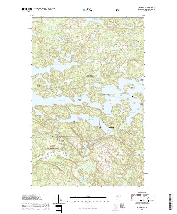
2022 Ash River NE
St. Louis County, MN
2022 Ash River SE
St. Louis County, MN
2022 Ash River SW
St. Louis County, MN
2022 Astrid Lake
St. Louis County, MN
2022 Babbitt NE
St. Louis County, MN
2022 Babbitt SE
St. Louis County, MN
2022 Babbitt SW
St. Louis County, MN

2022 Barrs Lake
St. Louis County, MN
2022 Bear Island
St. Louis County, MN
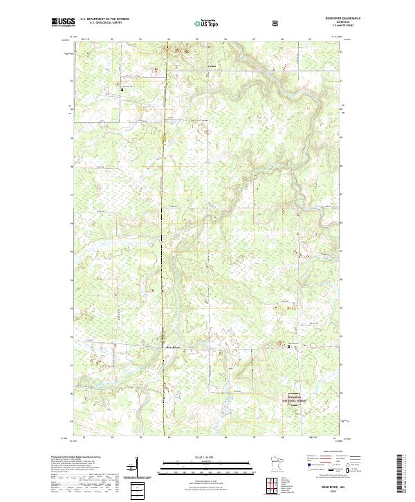
2022 Bear River
St. Louis County, MN

2022 Bird Lake
St. Louis County, MN
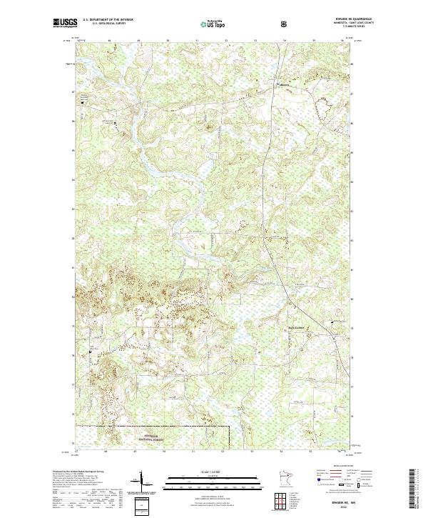
2022 Biwabik NE
St. Louis County, MN
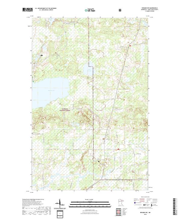
2022 Biwabik NW
St. Louis County, MN
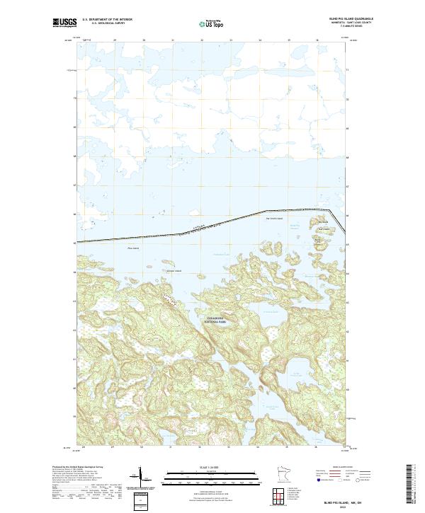
2022 Blind Pig Island
St. Louis County, MN
2022 Bootleg Lake
St. Louis County, MN
2022 Boulder Lake Reservoir NE
St. Louis County, MN
2022 Boulder Lake Reservoir
St. Louis County, MN
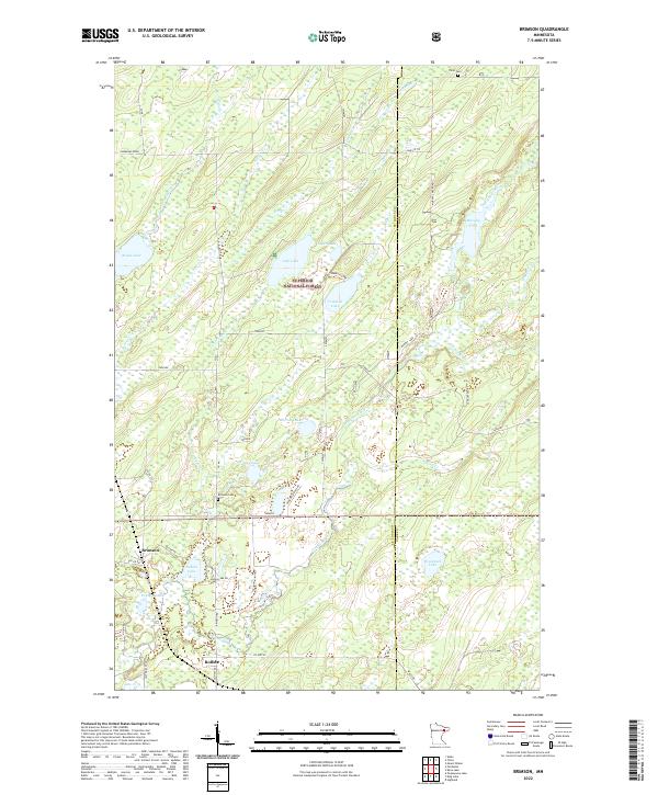
2022 Brimson
St. Louis County, MN
2022 Britt
St. Louis County, MN
2022 Brookston NW
St. Louis County, MN
2022 Buyck
St. Louis County, MN
2022 Canyon
St. Louis County, MN
2022 Casco
St. Louis County, MN
2022 Central Lakes
St. Louis County, MN
2022 Chad Lake
St. Louis County, MN
2022 Coleman Island
St. Louis County, MN
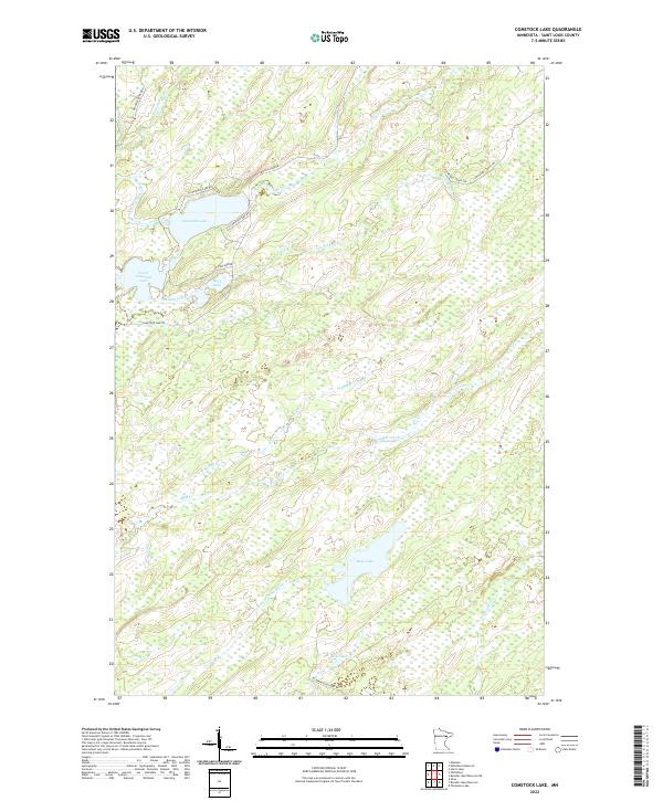
2022 Comstock Lake
St. Louis County, MN
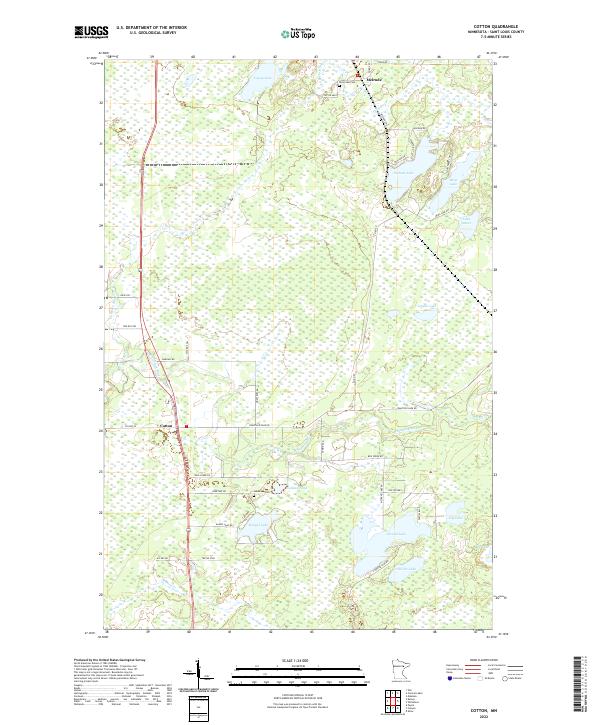
2022 Cotton
St. Louis County, MN
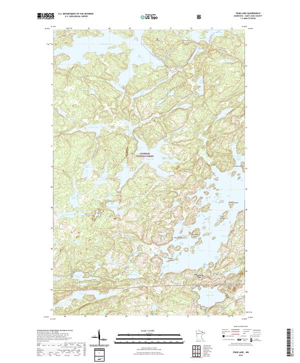
2022 Crab Lake
St. Louis County, MN
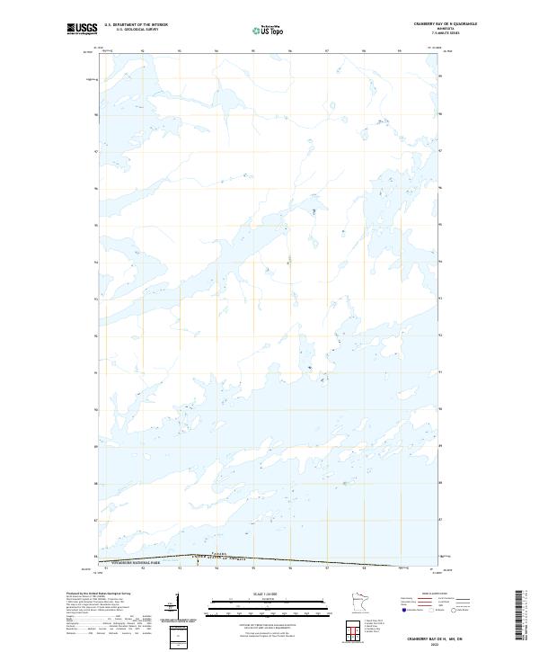
2022 Cranberry Bay OE N
St. Louis County, MN
2022 Cranberry Bay
St. Louis County, MN
2022 Crane Lake
St. Louis County, MN
2022 Daley Bay
St. Louis County, MN
2022 Dark Lake
St. Louis County, MN
2022 Dewey Lake NW
St. Louis County, MN
2022 Dewey Lake SE
St. Louis County, MN
2022 Dewey Lake
St. Louis County, MN
2022 Duluth Heights
St. Louis County, MN
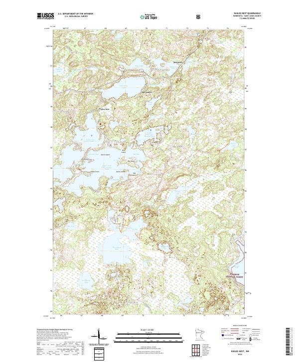
2022 Eagles Nest
St. Louis County, MN
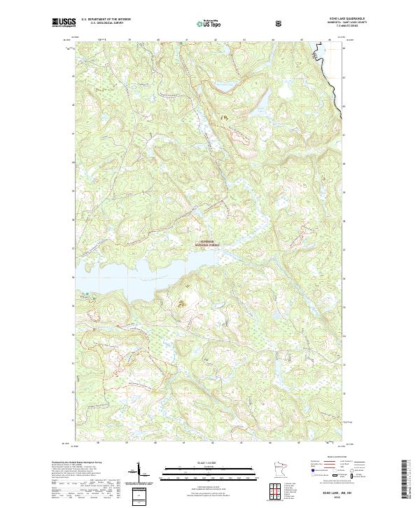
2022 Echo Lake
St. Louis County, MN
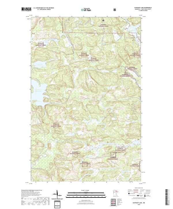
2022 Elephant Lake
St. Louis County, MN
2022 Elmer
St. Louis County, MN
2022 Embarrass
St. Louis County, MN
2022 Fairbanks
St. Louis County, MN
2022 Floodwood Lake
St. Louis County, MN
2022 Fourtown Lake
St. Louis County, MN
2022 Fredenberg
St. Louis County, MN
2022 French River
St. Louis County, MN
2022 Friday Bay
St. Louis County, MN
2022 Gheen NW
St. Louis County, MN
2022 Gheen
St. Louis County, MN
2022 Gowan
St. Louis County, MN
2022 Haley
St. Louis County, MN
2022 Harris Lake
St. Louis County, MN
2022 Idington
St. Louis County, MN
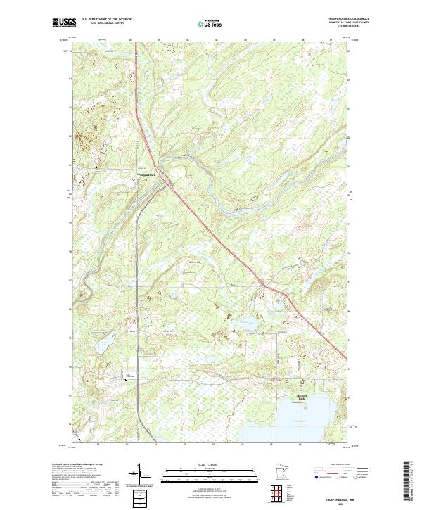
2022 Independence
St. Louis County, MN
2022 Iron Lake OE N
St. Louis County, MN

2022 Iron Lake
St. Louis County, MN
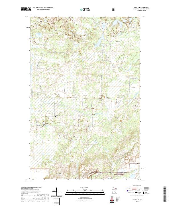
2022 Isaac Lake
St. Louis County, MN
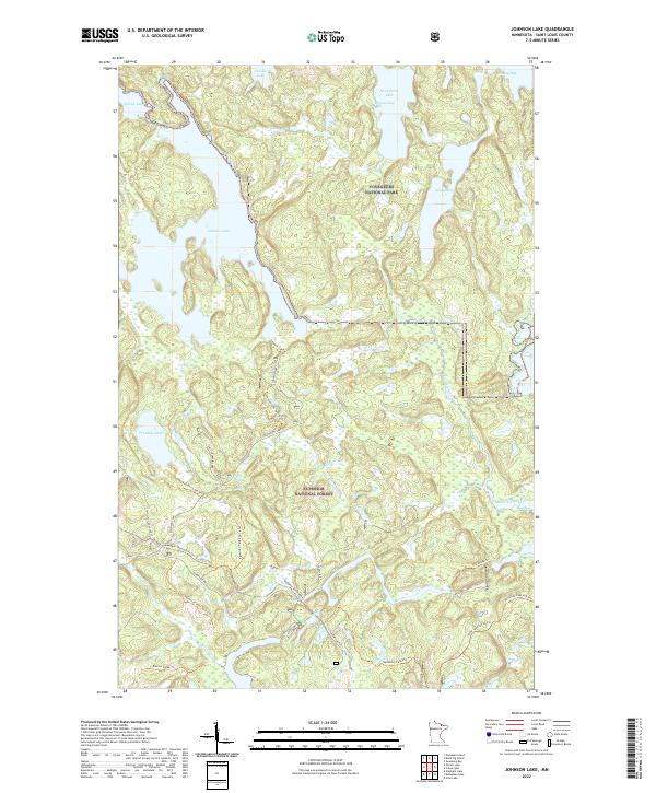
2022 Johnson Lake
St. Louis County, MN
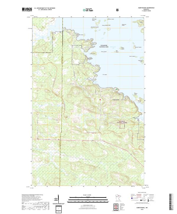
2022 Kabetogama
St. Louis County, MN
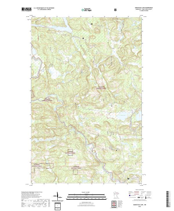
2022 Kabustasa Lake
St. Louis County, MN
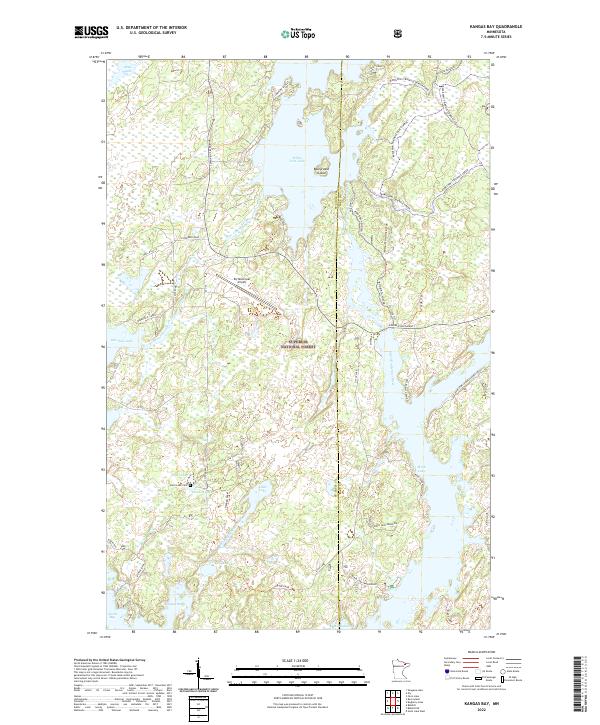
2022 Kangas Bay
St. Louis County, MN
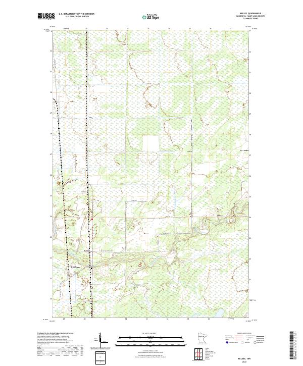
2022 Kelsey
St. Louis County, MN
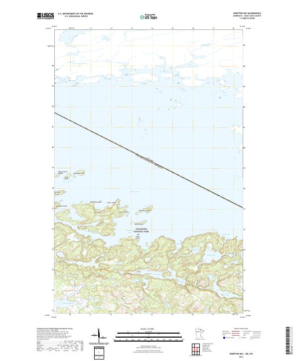
2022 Kempton Bay
St. Louis County, MN
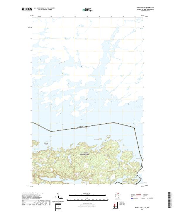
2022 Kettle Falls
St. Louis County, MN
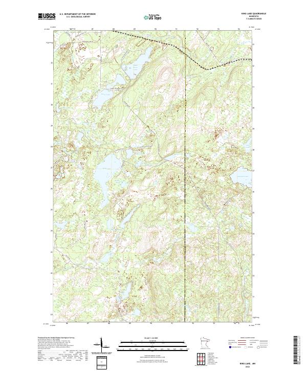
2022 King Lake
St. Louis County, MN
2022 Kirk
St. Louis County, MN
2022 Lake Agnes
St. Louis County, MN
2022 Lake Jeanette
St. Louis County, MN
2022 Lakewood
St. Louis County, MN
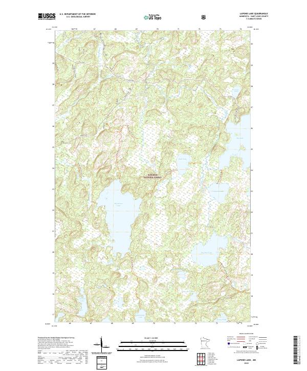
2022 Lapond Lake
St. Louis County, MN
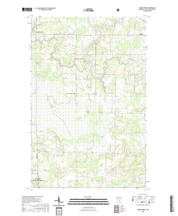
2022 Linden Grove
St. Louis County, MN
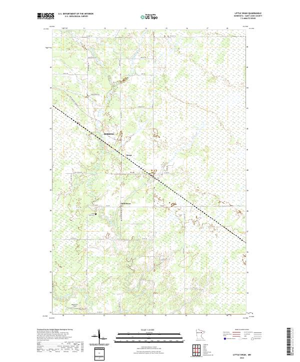
2022 Little Swan
St. Louis County, MN
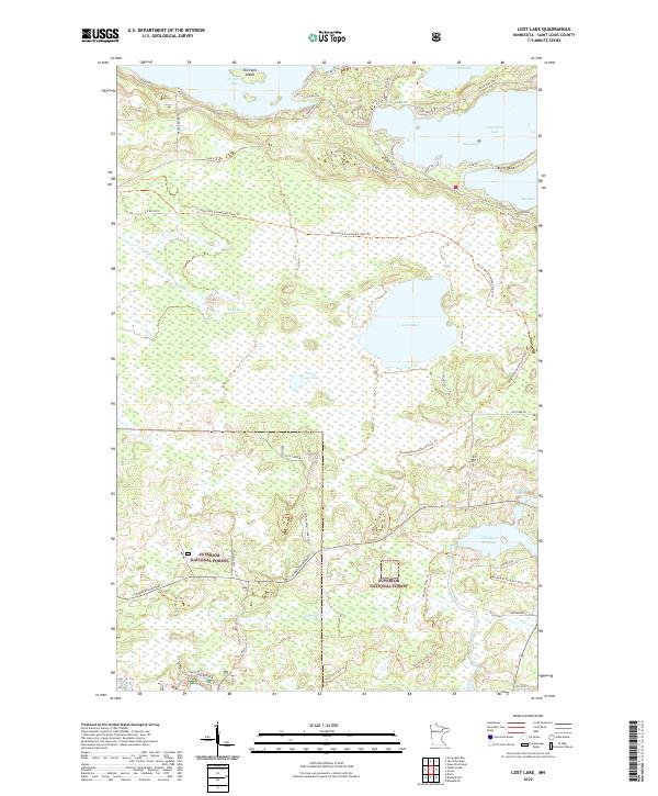
2022 Lost Lake
St. Louis County, MN
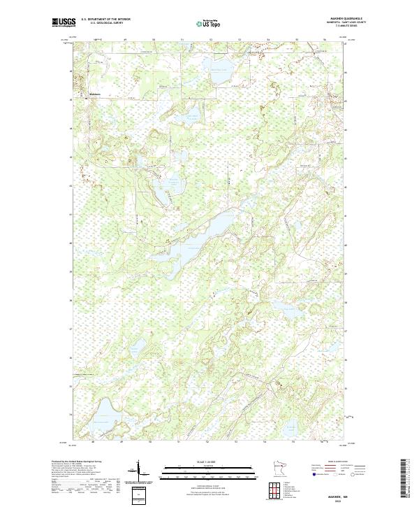
2022 Makinen
St. Louis County, MN
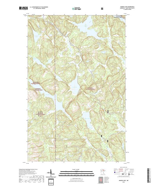
2022 Marion Lake
St. Louis County, MN
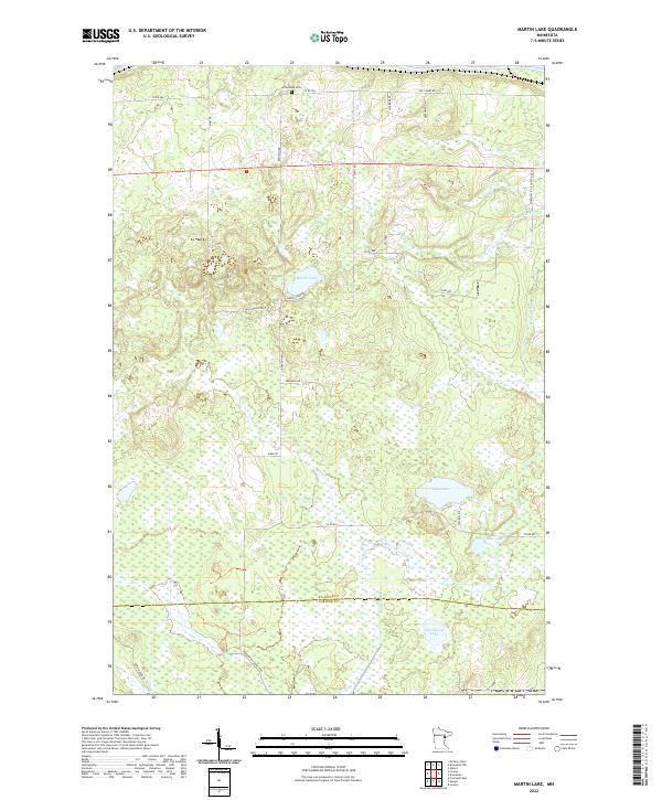
2022 Martin Lake
St. Louis County, MN
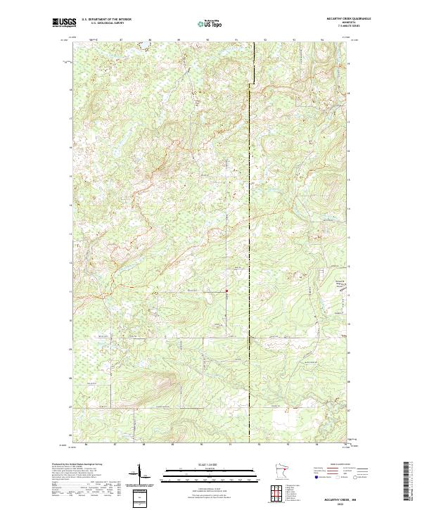
2022 McCarthy Creek
St. Louis County, MN
2022 McCarty River
St. Louis County, MN
2022 Meadow Brook
St. Louis County, MN
2022 Meadowlands NW
St. Louis County, MN
2022 Myrtle Lake
St. Louis County, MN
2022 Namakan Island
St. Louis County, MN
2022 Nett Lake NE
St. Louis County, MN
2022 Nett Lake
St. Louis County, MN
2022 Norwegian Bay
St. Louis County, MN
2022 Orr NE
St. Louis County, MN
2022 Orr SW
St. Louis County, MN
2022 Palo
St. Louis County, MN
2022 Payne
St. Louis County, MN
2022 Pequaywan Lake
St. Louis County, MN
2022 Picket Lake
St. Louis County, MN
2022 Prairie Lake
St. Louis County, MN
2022 Ray SE
St. Louis County, MN
2022 Riley
St. Louis County, MN
2022 Saginaw
St. Louis County, MN
2022 Sassas Creek
St. Louis County, MN
2022 Shagawa Lake
St. Louis County, MN
2022 Shaw
St. Louis County, MN
2022 Shell Lake
St. Louis County, MN
2022 Side Lake
St. Louis County, MN
2022 Silica
St. Louis County, MN
2022 Silverdale
St. Louis County, MN
2022 Sioux Pine Island
St. Louis County, MN
2022 Skibo
St. Louis County, MN
2022 Snow Bay
St. Louis County, MN
2022 Soldier Point OE N
St. Louis County, MN
2022 Soldier Point
St. Louis County, MN
2022 Stingy Lake
St. Louis County, MN
2022 Swansons Bay
St. Louis County, MN
2022 Takucmich Lake
St. Louis County, MN
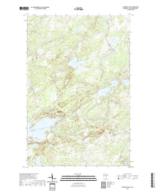
2022 Thompson Lake
St. Louis County, MN
2022 Toimi
St. Louis County, MN
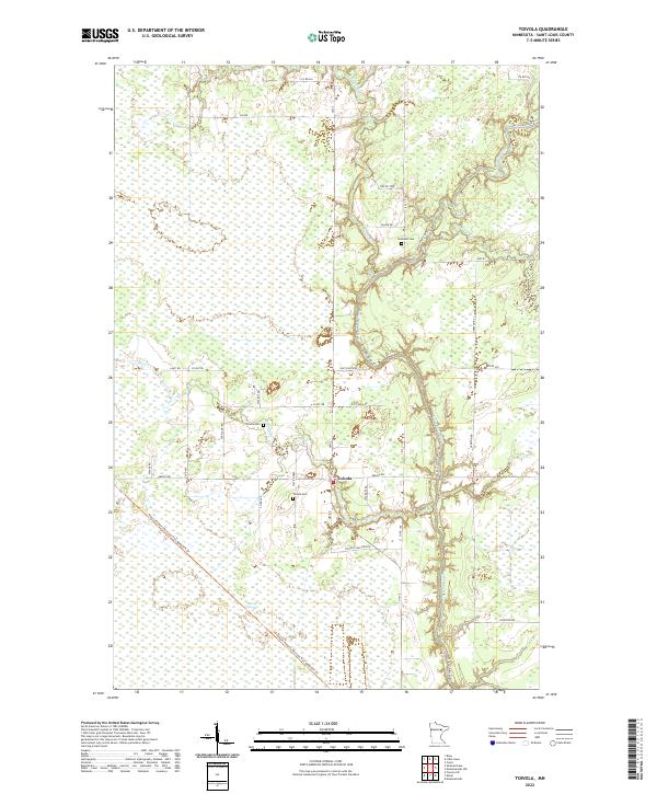
2022 Toivola
St. Louis County, MN
2022 Toivola SW
St. Louis County, MN
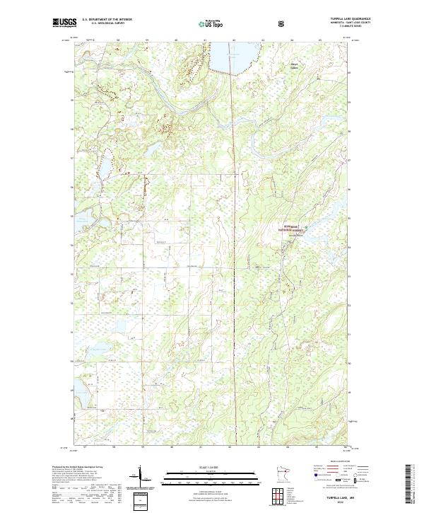
2022 Turpela Lake
St. Louis County, MN
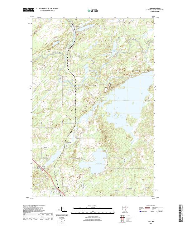
2022 Twig
St. Louis County, MN
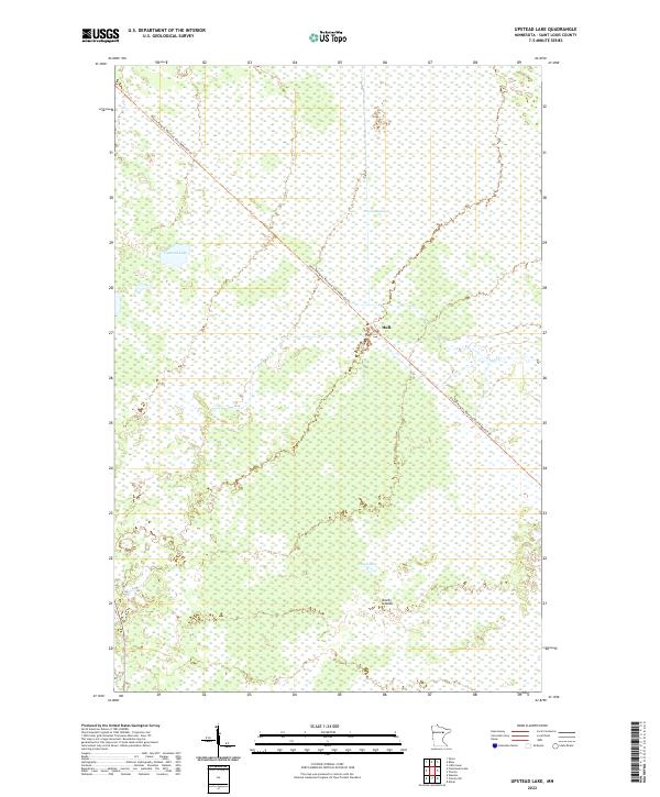
2022 Upstead Lake
St. Louis County, MN
2022 Vermilion Dam
St. Louis County, MN
2022 Wawina
St. Louis County, MN
2022 West Duluth
St. Louis County, MN
2022 Whiteface Reservoir
St. Louis County, MN
2022 Whiteface
St. Louis County, MN
2022 Zim
St. Louis County, MN
Featured Locations
- Babbitt, MN
- Bassett Township, MN
- Birch Lake (Unorganized Territory), MN
- Lake No. 2, MN
- Stony River Township, MN