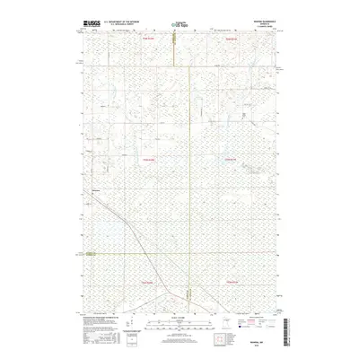
2016 Map of Wawina
USGS Topo · Published 2016About this map
Wawina serves as the primary settlement center on this northern Minnesota landscape, situated at a junction where local life and postal services have historically concentrated. The surrounding geography is defined by an extensive network of wetlands and waterways, most notably the Floodwood River and the W Br Floodwood River. This area is marked by a complex system of township and county roads, such as Hinkkanen Rd and Short Cut Rd, which navigate through the marshy terrain. The presence of the Cedar Valley Cem along Co Rd 508 provides a specific point of interest for genealogists tracing local families in the region. The map also illustrates the meeting point of three counties—Itasca, St. Louis, and Aitkin—highlighting the administrative divisions that intersect in these northern woods.
Find a feature on this map
29 named features on this map. Tap any name to fly to it.
Don’t see what you’re looking for? This feature index may not catch every label — zoom into the map to look around manually.
Map Details
Editions of this 2016 Wawina Map
This is the sole edition of this map. No revisions or reprints were ever made.
Other maps of this area

1953 · Duluth
USGS Topo · 1:250,000

1954 · Hibbing
USGS Topo · 1:250,000

1957 · Hibbing
USGS Topo · 1:250,000

1958 · Hibbing
USGS Topo · 1:250,000

1958 · Duluth
USGS Topo · 1:250,000

1963 · Toivola SW
USGS Topo · 1:24,000

1963 · Upstead Lake
USGS Topo · 1:24,000
1963 · Floodwood
USGS Topo · 1:24,000

1964 · Hibbing
USGS Topo · 1:250,000

1969 · Wawina
USGS Topo · 1:24,000