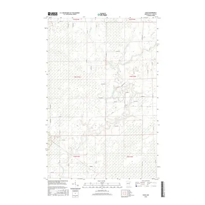
2016 Map of Casco
USGS Topo · Published 2016About this map
The Saint Louis River snakes through the heart of this landscape in St. Louis County, defining a complex drainage basin where the W Two River and E Two River converge. This 2016 survey highlights a sparsely populated area dominated by large wetland tracts and a grid of rural township and county roads. The small settlement of Casco is positioned in the southwestern portion of the sheet, served by Co Rd 434 and Co Rd 436. Local history is anchored by the Zim Cem located near the intersection of Cty Rd 312 and Zim Rd. The map provides a contemporary record of property lines and access routes including Norway Ridge Rd and Hemenway Rd, illustrating the persistence of rural land divisions in the Iron Range region.
Find a feature on this map
42 named features on this map. Tap any name to fly to it.
Don’t see what you’re looking for? This feature index may not catch every label — zoom into the map to look around manually.
Map Details
Editions of this 2016 Casco Map
This is the sole edition of this map. No revisions or reprints were ever made.
Other maps of this area

1951 · Eveleth
USGS Topo · 1:24,000

1951 · Kirk
USGS Topo · 1:24,000

1951 · Zim
USGS Topo · 1:24,000

1951 · Casco
USGS Topo · 1:24,000

1951 · Buhl
USGS Topo · 1:24,000

1952 · Little Swan
USGS Topo · 1:24,000

1954 · Hibbing
USGS Topo · 1:250,000

1957 · Hibbing
USGS Topo · 1:250,000

1958 · Hibbing
USGS Topo · 1:250,000

1963 · Meadowlands NW
USGS Topo · 1:24,000