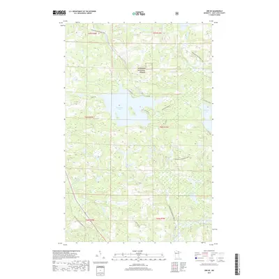
2019 Map of Orr NE
USGS Topo · Published 2019About this map
Superior National Forest defines the landscape of this northern Saint Louis County region, where a complex network of waterways and recreational trails intersects with managed timberlands. The prominent Black Duck Lake and its namesake Black Duck River serve as central hydrologic features, alongside the significant Elephant Lake to the east. The presence of Melgeorge Resort Rd and Black Duck Beach Rd suggests a localized economy built around seasonal lakefront recreation and woodland access.
Find a feature on this map
27 named features on this map. Tap any name to fly to it.
Don’t see what you’re looking for? This feature index may not catch every label — zoom into the map to look around manually.
Map Details
Editions of this 2019 Orr NE Map
This is the sole edition of this map. No revisions or reprints were ever made.
Other maps of this area

1954 · International Falls
USGS Topo · 1:250,000

1957 · International Falls
USGS Topo · 1:250,000

1958 · International Falls
USGS Topo · 1:250,000
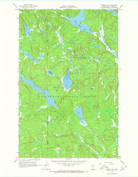
1967 · Marion Lake
USGS Topo · 1:24,000
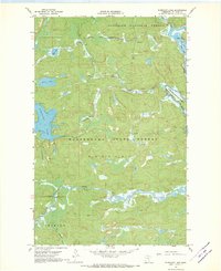
1967 · Elephant Lake
USGS Topo · 1:24,000
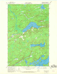
1968 · Myrtle Lake
USGS Topo · 1:24,000
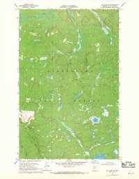
1968 · Ash River SE
USGS Topo · 1:24,000
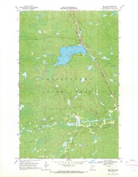
1968 · Ash Lake
USGS Topo · 1:24,000
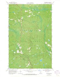
1968 · Ash River SW
USGS Topo · 1:24,000
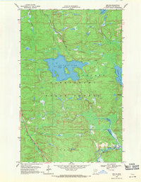
1968 · Orr NE
USGS Topo · 1:24,000